MyTopo
Classic USGS Shippe Canyon Montana 7.5'x7.5' Topo Map
Regular price
$16.95
Regular price
Sale price
$16.95
Unit price
per
Couldn't load pickup availability
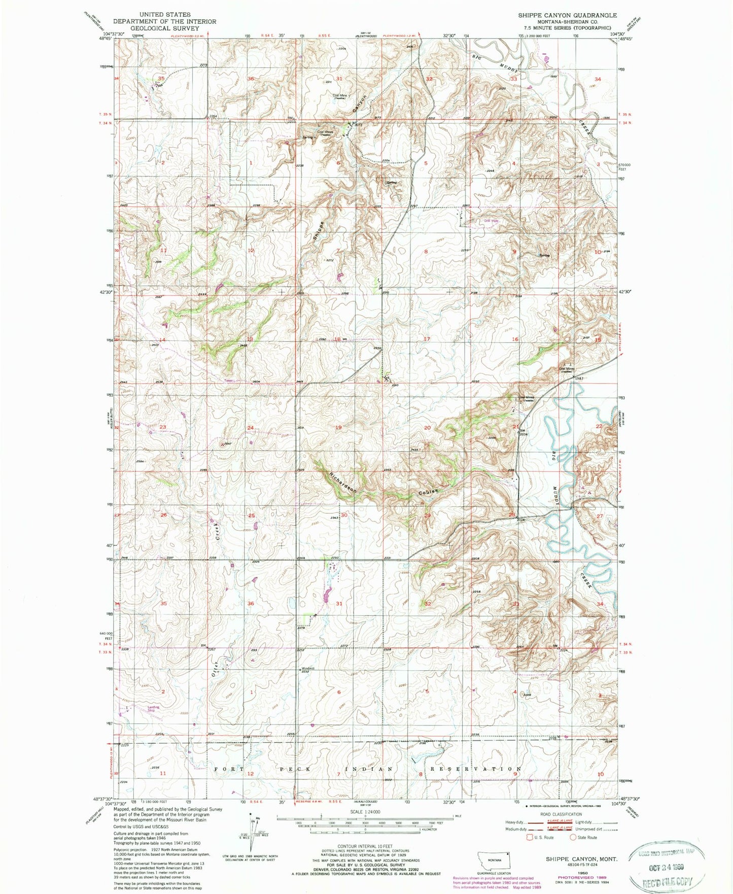
Historical USGS topographic quad map of Shippe Canyon in the state of Montana. Map scale may vary for some years, but is generally around 1:24,000. Print size is approximately 24" x 27"
This quadrangle is in the following counties: Sheridan.
The map contains contour lines, roads, rivers, towns, and lakes. Printed on high-quality waterproof paper with UV fade-resistant inks, and shipped rolled.
Contains the following named places: 33N54E01BBDD01 Well, 33N54E02DDCD01 Well, 34N54E25CBBB01 Well, 34N55E30BDAA01 Well, Boxelder Creek, Cornhuskers Dam, Plentywood Sewage Lagoon Dam, Reiten School, Richardson Coulee, Sheridan County, Shippe Canyon