MyTopo
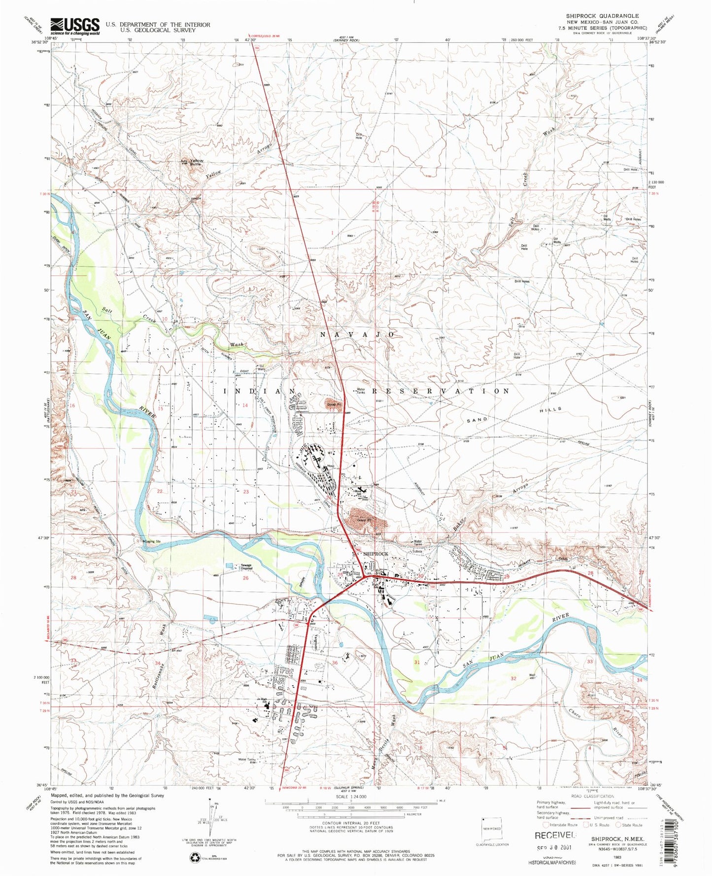
Classic USGS Shiprock New Mexico 7.5'x7.5' Topo Map
Couldn't load pickup availability
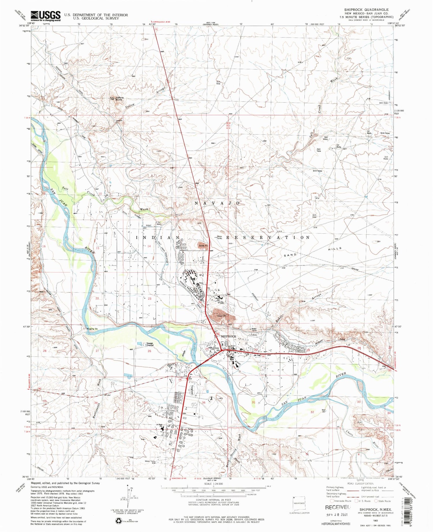
Historical USGS topographic quad map of Shiprock in the state of New Mexico. Map scale may vary for some years, but is generally around 1:24,000. Print size is approximately 24" x 27"
This quadrangle is in the following counties: San Juan.
The map contains contour lines, roads, rivers, towns, and lakes. Printed on high-quality waterproof paper with UV fade-resistant inks, and shipped rolled.
Contains the following named places: 12K-300A Water Well, 12T-520 Water Well, Baker Arroyo, Beclabito Chapel, Blanchard Mine, Blue Gap/Four Corners United Methodist Church, Chaco River, Ditch Number Eight, Ditch Number Nine, Enos Johnson Mine, First Baptist Church, Many Devils Wash, Mesa Elementary School, Mesa View Assembly Church, Natanni Nez Elementary School, Navajo Community College, Navajo Community College Library, Navajo Nation Fire and Rescue Services - Station 20 Shiprock, Navajo Nation Police Station, Nelson Pit and Shady Side, Nizhoni Elementary School, Northern Navajo Medical Center, Pictured Cliffs Historic Site, Rattlesnake Wash, Salt Creek Wash, San Juan River Bridge Historic Site, Shiprock, Shiprock Alternative Kindergarten School, Shiprock Alternative School, Shiprock Cemetery, Shiprock Census Designated Place, Shiprock Community Health Center, Shiprock Community Health Center Library, Shiprock Northwest High School, Shiprock Pit, Shiprock Post Office, Shiprock United Methodist Church, Shiprock Weather Station, Tse' Bit' ai Mid School, USIS Water Well, Yellow Arroyo, Yellow Butte


