
MyTopo
Classic USGS Shired Island Florida 7.5'x7.5' Topo Map
Regular price
$16.95
Regular price
Sale price
$16.95
Unit price
per
Couldn't load pickup availability
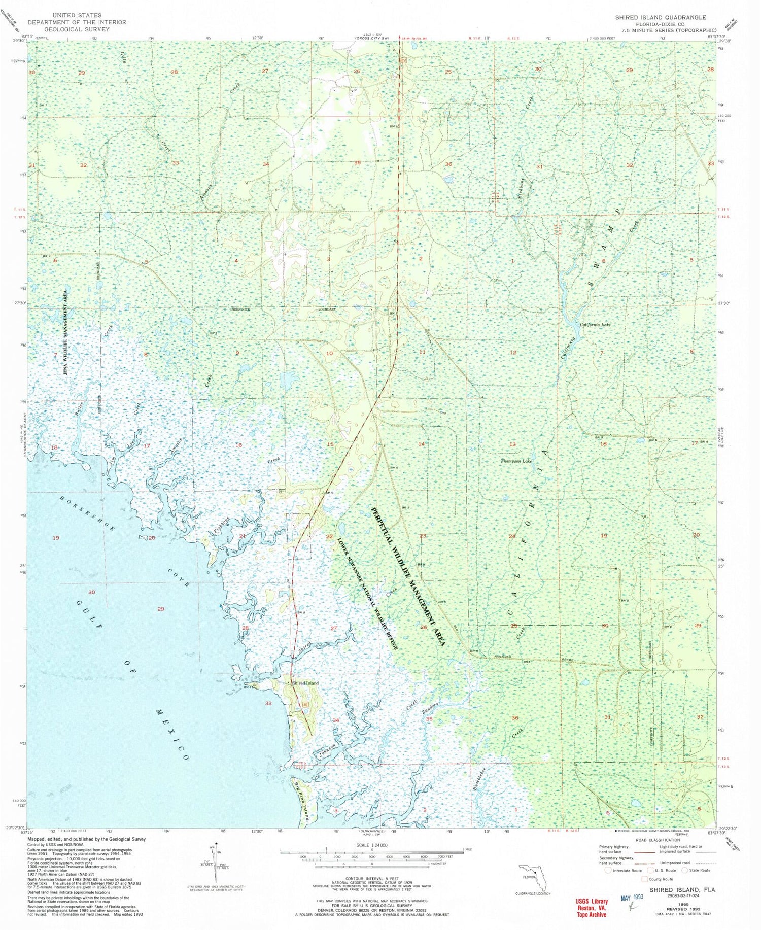
Historical USGS topographic quad map of Shired Island in the state of Florida. Map scale may vary for some years, but is generally around 1:24,000. Print size is approximately 24" x 27"
This quadrangle is in the following counties: Dixie.
The map contains contour lines, roads, rivers, towns, and lakes. Printed on high-quality waterproof paper with UV fade-resistant inks, and shipped rolled.
Contains the following named places: Amason Creek, Big Pine Island, Butler Creek, California Creek, California Lake, California Swamp, Fishbone Beach, Fishbone Creek, Horseshoe Cove, Jim Lee Creek, Johnson Creek, Lilly Creek, Pocoson Swamp, Seven Brothers, Seven Sisters, Shired Creek, Shired Island, Thompson Lake


