MyTopo
Classic USGS Shirley West Virginia 7.5'x7.5' Topo Map
Couldn't load pickup availability
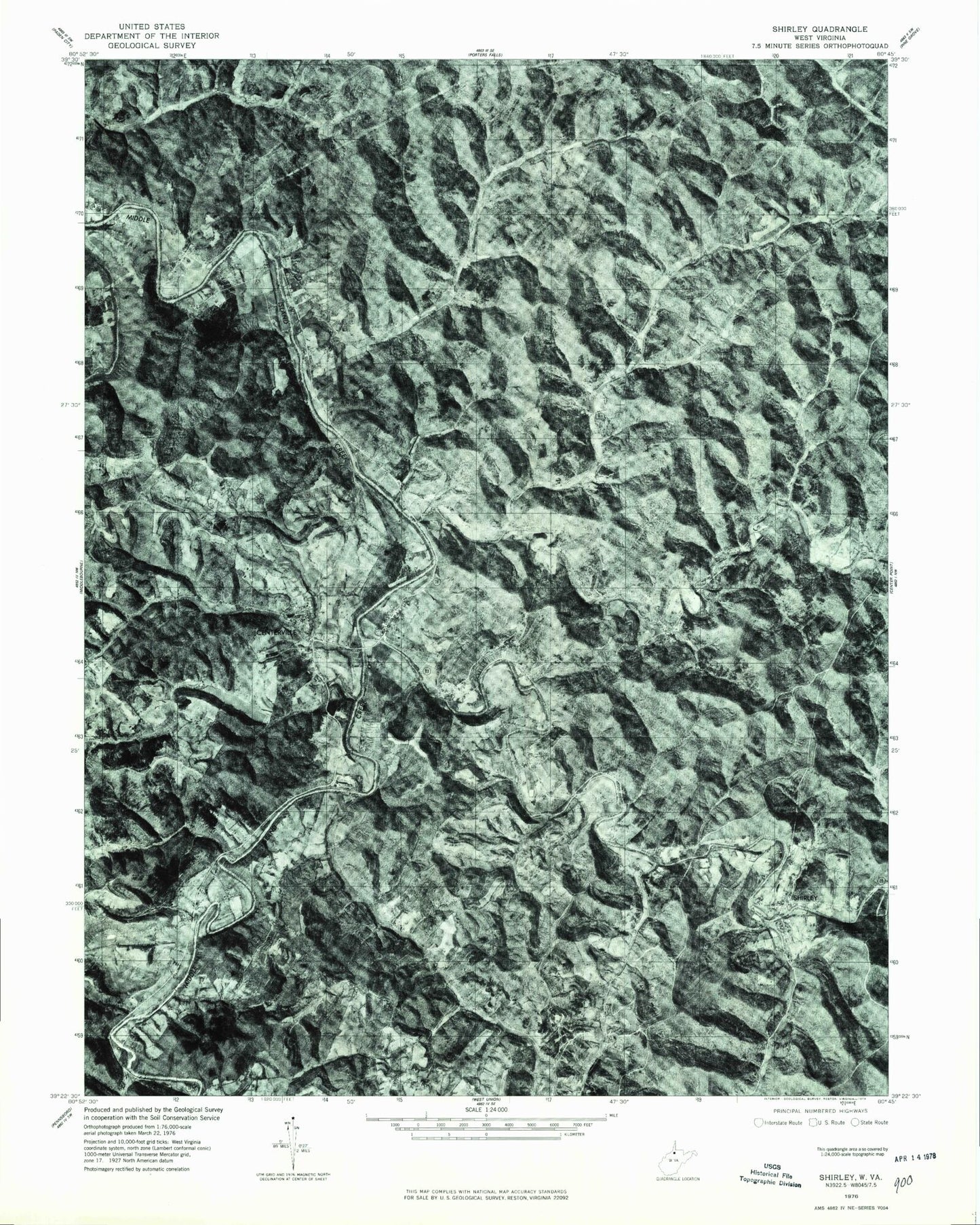
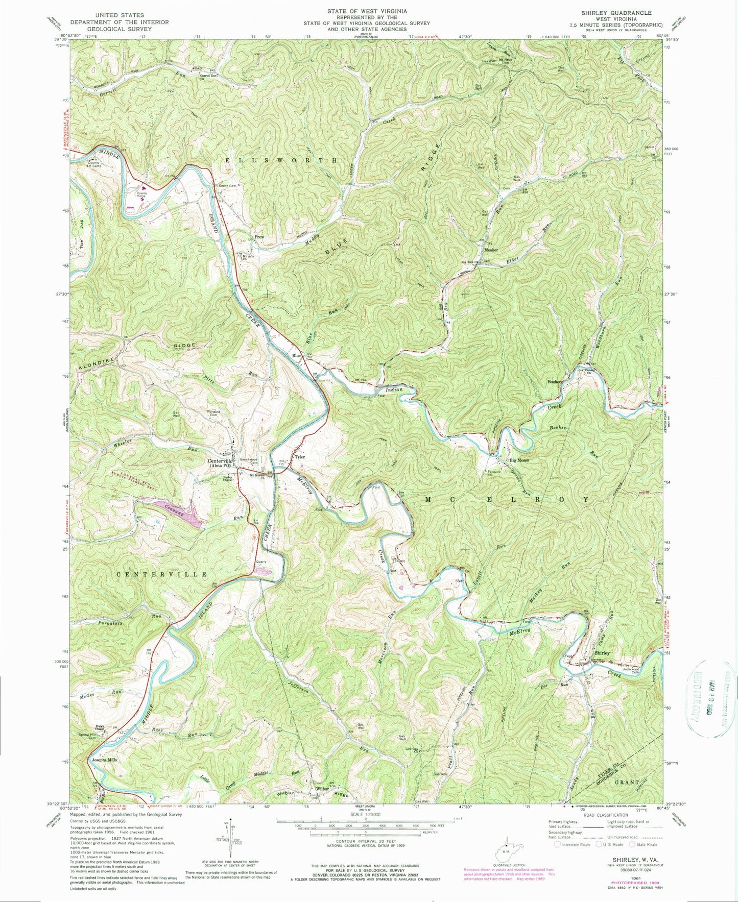
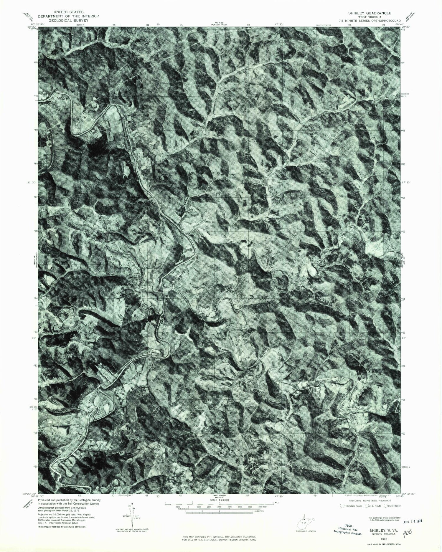
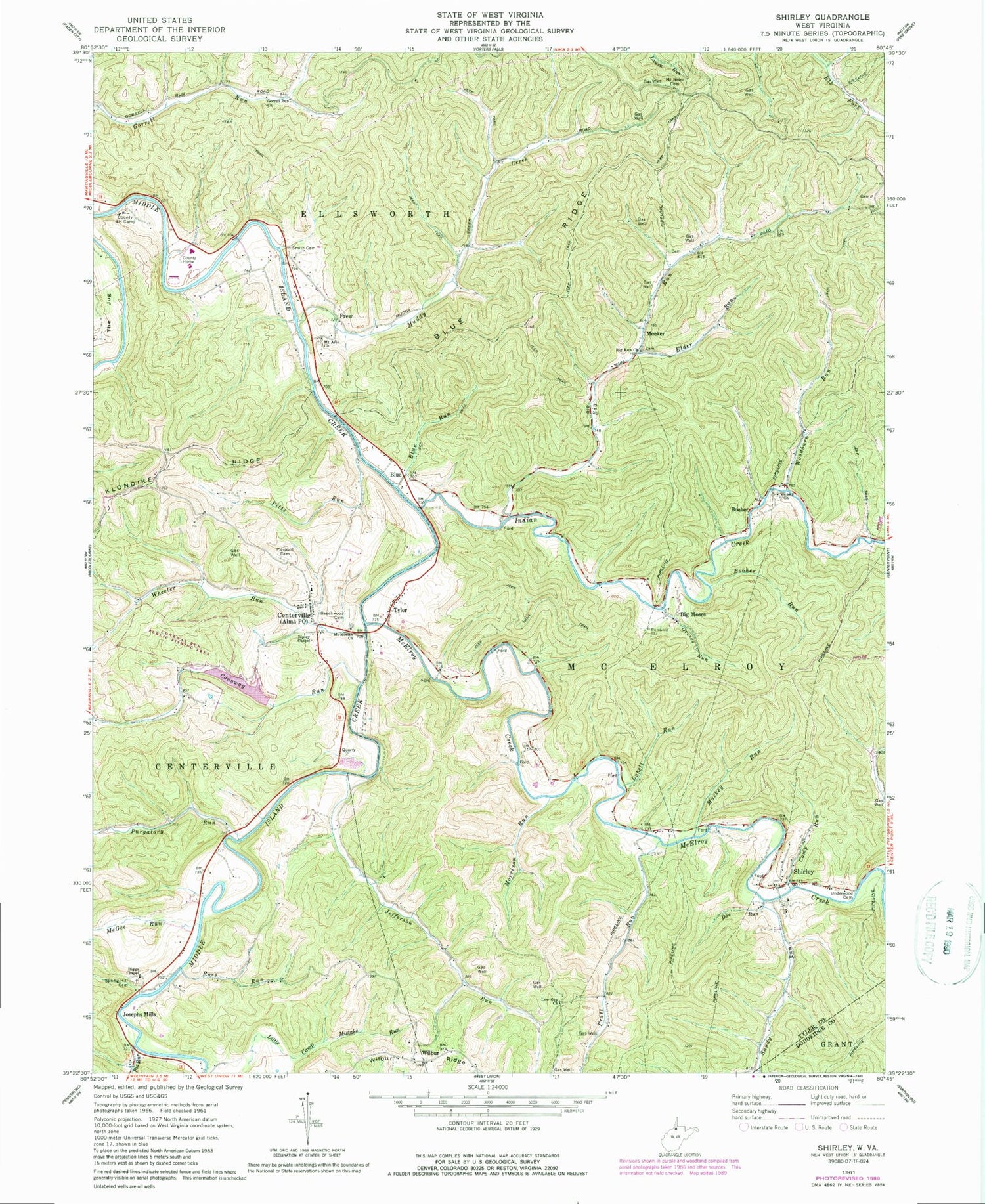
Historical USGS topographic quad map of Shirley in the state of West Virginia. Map scale may vary for some years, but is generally around 1:24,000. Print size is approximately 24" x 27"
This quadrangle is in the following counties: Doddridge, Tyler.
The map contains contour lines, roads, rivers, towns, and lakes. Printed on high-quality waterproof paper with UV fade-resistant inks, and shipped rolled.
Contains the following named places: Akron, Alma Post Office, Alma Volunteer Fire Department, Arthur I Boreman Elementary School, Avondale School, Beechwood Cemetery, Big Moses, Big Run, Big Run Church, Big Run School, Blue, Blue Ridge, Blue Run, Booher, Booher Run, Booher Run School, Camp Run, Centerville, Conaway Run, Conaway Run Dam, Conaway Run Wildlife Management Area, Doe Run, Elder Run, Elder School, Frew, Gorrell Run Church, Gorrell Run School, Groves Run, Indian Creek, Jefferson Run, Jefferson School, Josephs Mills, Jug Wildlife Management Area, Labell Run, Labell School, Little Camp Mistake Run, Low Gap Church, Low Gap School, Mackey Run, McElroy Creek, McGee Run, Meeker, Morris School, Morrison Run, Mount Aris Church, Mount Moriah Church, Mount Nebo Cemetery, Mount Nebo School, Muddy Creek, Muddy Creek School, Oak Grove School, Pierpont Cemetery, Pitts Run, Pratt Run, Purgatory Run, Riggs Chapel, Ripley Chapel, Rising Sun School, Ross Run, Ross Run School, Sandy Run, Shirley, Shirley Post Office, Shirley Volunteer Fire Department, Smith Cemetery, South District, Spring Hill Cemetery, Sunnyside, Tyler, Tyler County Emergency Medical Services Unit 3 - Alma Emergency Medical Services, Underwood Cemetery, Victory Church, Wheeler Run, Wilbur, Wilbur Cemetery, Woodburn Run, ZIP Codes: 26149, 26320


