MyTopo
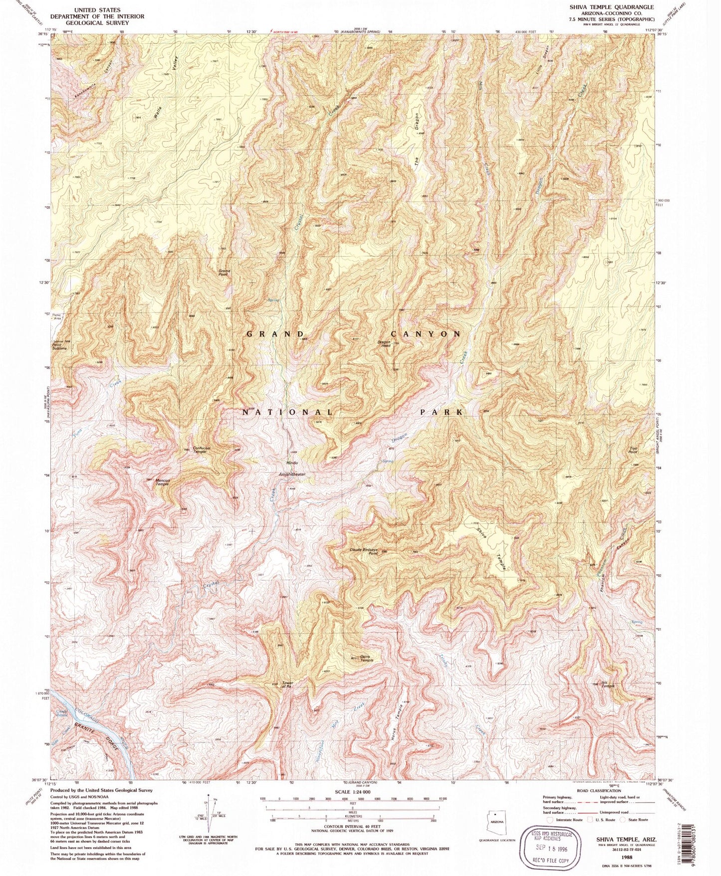
Classic USGS Shiva Temple Arizona 7.5'x7.5' Topo Map
Couldn't load pickup availability
Historical USGS topographic quad map of Shiva Temple in the state of Arizona. Typical map scale is 1:24,000, but may vary for certain years, if available. Print size: 24" x 27"
This quadrangle is in the following counties: Coconino.
The map contains contour lines, roads, rivers, towns, and lakes. Printed on high-quality waterproof paper with UV fade-resistant inks, and shipped rolled.
Contains the following named places: Claude Birdseye Point, Confucius Temple, Crystal Creek, Crystal Rapids, Dragon Creek, Dragon Head, Grama Point, Hindu Amphitheater, Horus Temple, Isis Temple, Milk Creek, Osiris Temple, Shiva Temple, Slate Creek, The Dragon, Tiyo Point, Tonto Trail, Tower of Ra, Walla Valley, Grand Canyon National Park, Mencius Temple, Twin Buttes


