MyTopo
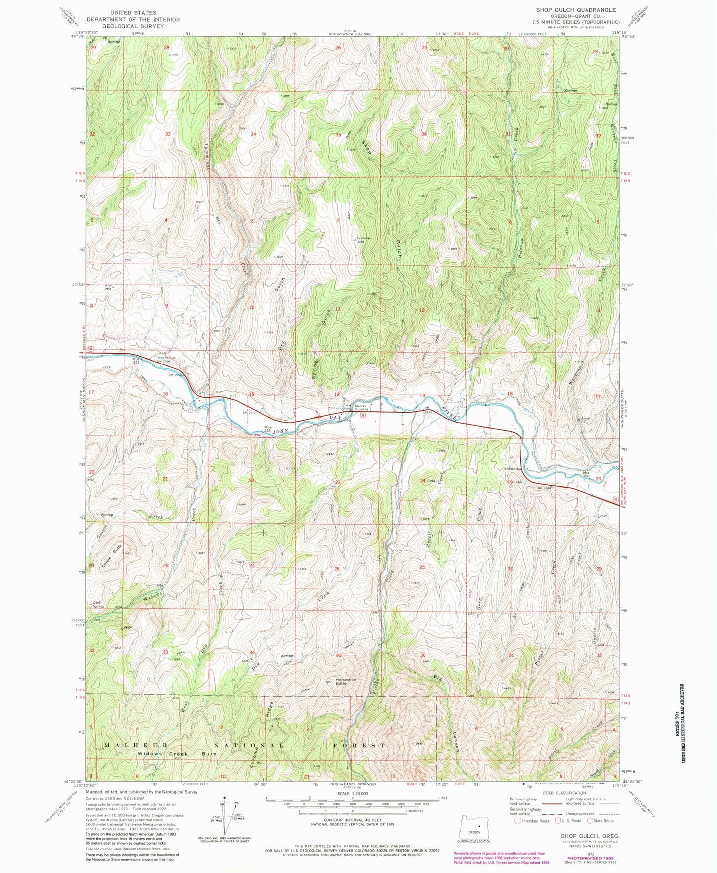
Classic USGS Shop Gulch Oregon 7.5'x7.5' Topo Map
Couldn't load pickup availability
Historical USGS topographic quad map of Shop Gulch in the state of Oregon. Map scale may vary for some years, but is generally around 1:24,000. Print size is approximately 24" x 27"
This quadrangle is in the following counties: Grant.
The map contains contour lines, roads, rivers, towns, and lakes. Printed on high-quality waterproof paper with UV fade-resistant inks, and shipped rolled.
Contains the following named places: Belshaw Creek, Big Canyon, Coyote Butte, Cummings Creek, Dry Creek, Dry Gulch, Dustin Creek, East Fork Warrens Creek, Eddington Ditch, Fields Creek, Glascock Ranch, Goen Creek, Grouse Creek, Horseshoe Butte, John Day Division, Lick Spring, Magpie Creek, Moores Crossing, Mountain View School, No Name Creek, Picnic Creek, Shop Gulch, Spring Gulch, Warrens Creek, West Dry Creek, West Fork Warrens Creek, Widows Creek, Widows Creek Burn