MyTopo
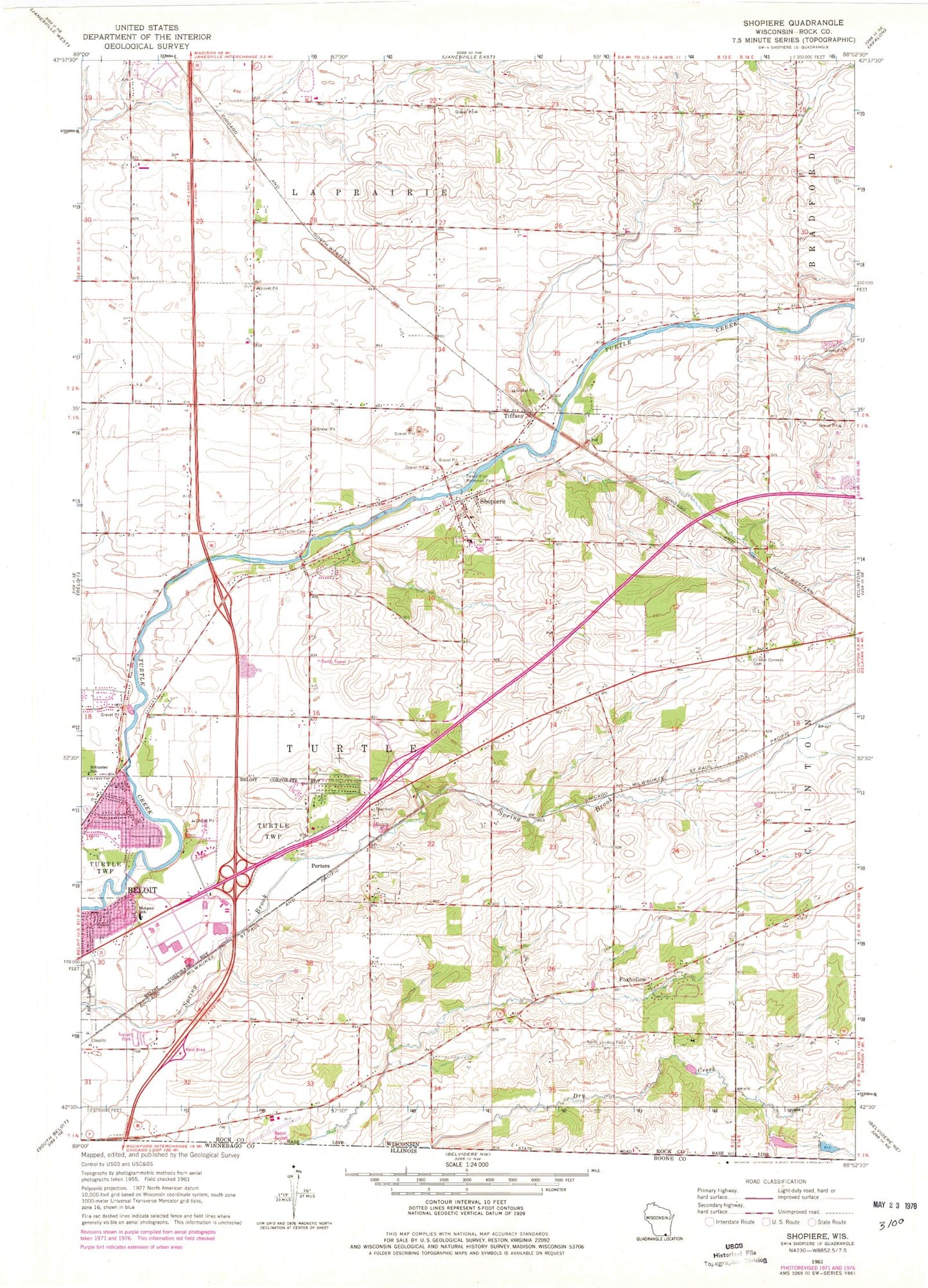
Classic USGS Shopiere Wisconsin 7.5'x7.5' Topo Map
Couldn't load pickup availability
Historical USGS topographic quad map of Shopiere in the state of Wisconsin. Map scale may vary for some years, but is generally around 1:24,000. Print size is approximately 24" x 27"
This quadrangle is in the following counties: Rock.
The map contains contour lines, roads, rivers, towns, and lakes. Printed on high-quality waterproof paper with UV fade-resistant inks, and shipped rolled.
Contains the following named places: 205 Reservoir, Arndt Farms, Arrowhead Orchards, Boutelle Quarry, Clinton Corners Cemetery, Clinton Sewage Treatment Plant, Dunn Quarry, Foxhollow, Morgan Elementary School, Porters, R And S Rolling Ranch, Schuster School, Shopiere, Shopiere Census Designated Place, Shopiere Dam, Sweet Allyn Memorial Park, Tiffany, Town of Turtle, Turtle Airport, Turtle Fire Department, Turtle Police Department, Turtleville, Turtleville Cemetery