MyTopo
Classic USGS Shore Line Butte California 7.5'x7.5' Topo Map
Regular price
$16.95
Regular price
Sale price
$16.95
Unit price
per
Couldn't load pickup availability
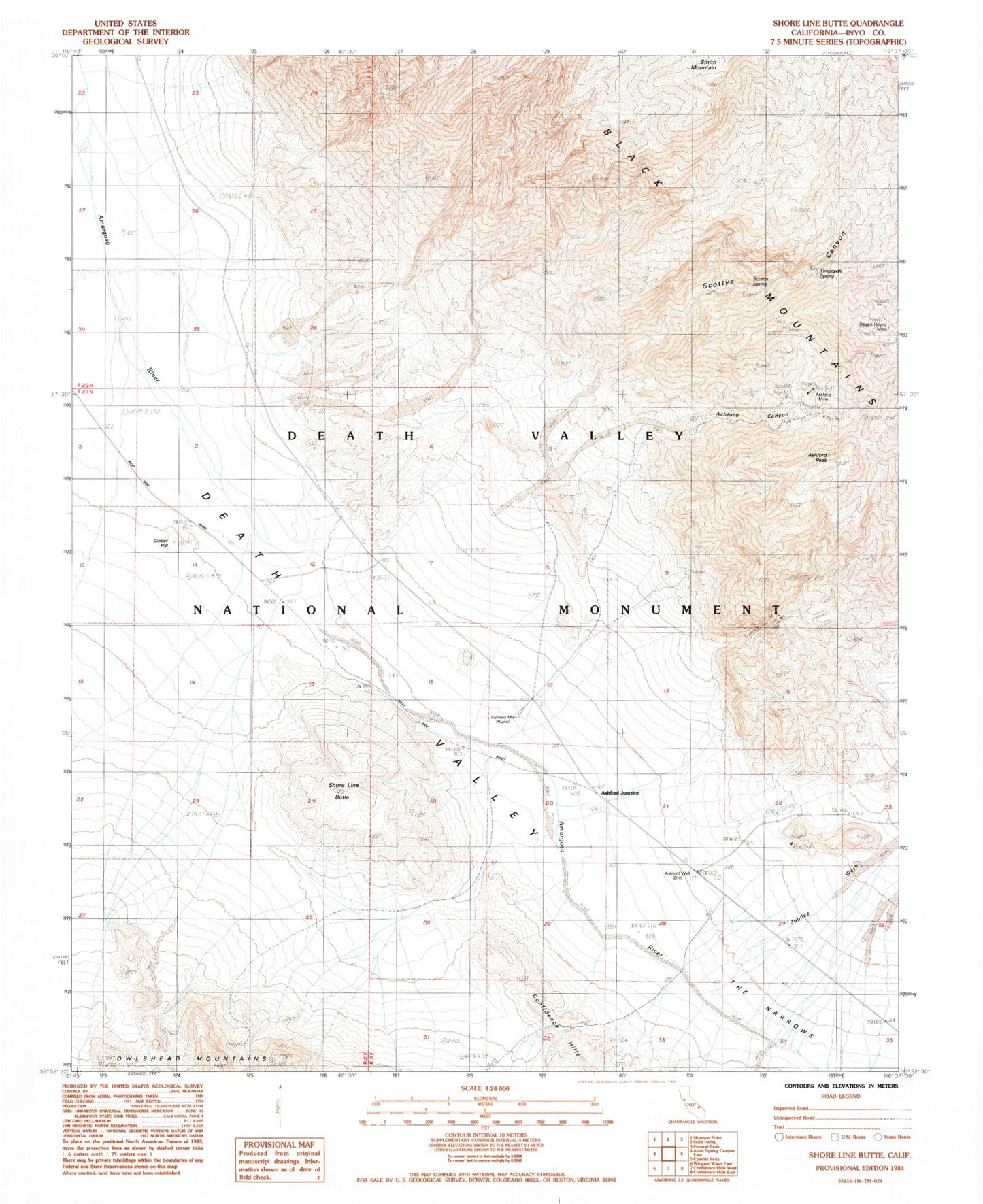
Historical USGS topographic quad map of Shore Line Butte in the state of California. Map scale may vary for some years, but is generally around 1:24,000. Print size is approximately 24" x 27"
This quadrangle is in the following counties: Inyo.
The map contains contour lines, roads, rivers, towns, and lakes. Printed on high-quality waterproof paper with UV fade-resistant inks, and shipped rolled.
Contains the following named places: Ashford Canyon, Ashford Junction, Ashford Mill, Ashford Mine, Ashford Peak, Ashford Well, Cinder Hill, Desert Hound Mine, Jubilee Wash, Scottys Canyon, Scottys Spring, Shore Line Butte, The Narrows, Timpapah Spring