
MyTopo
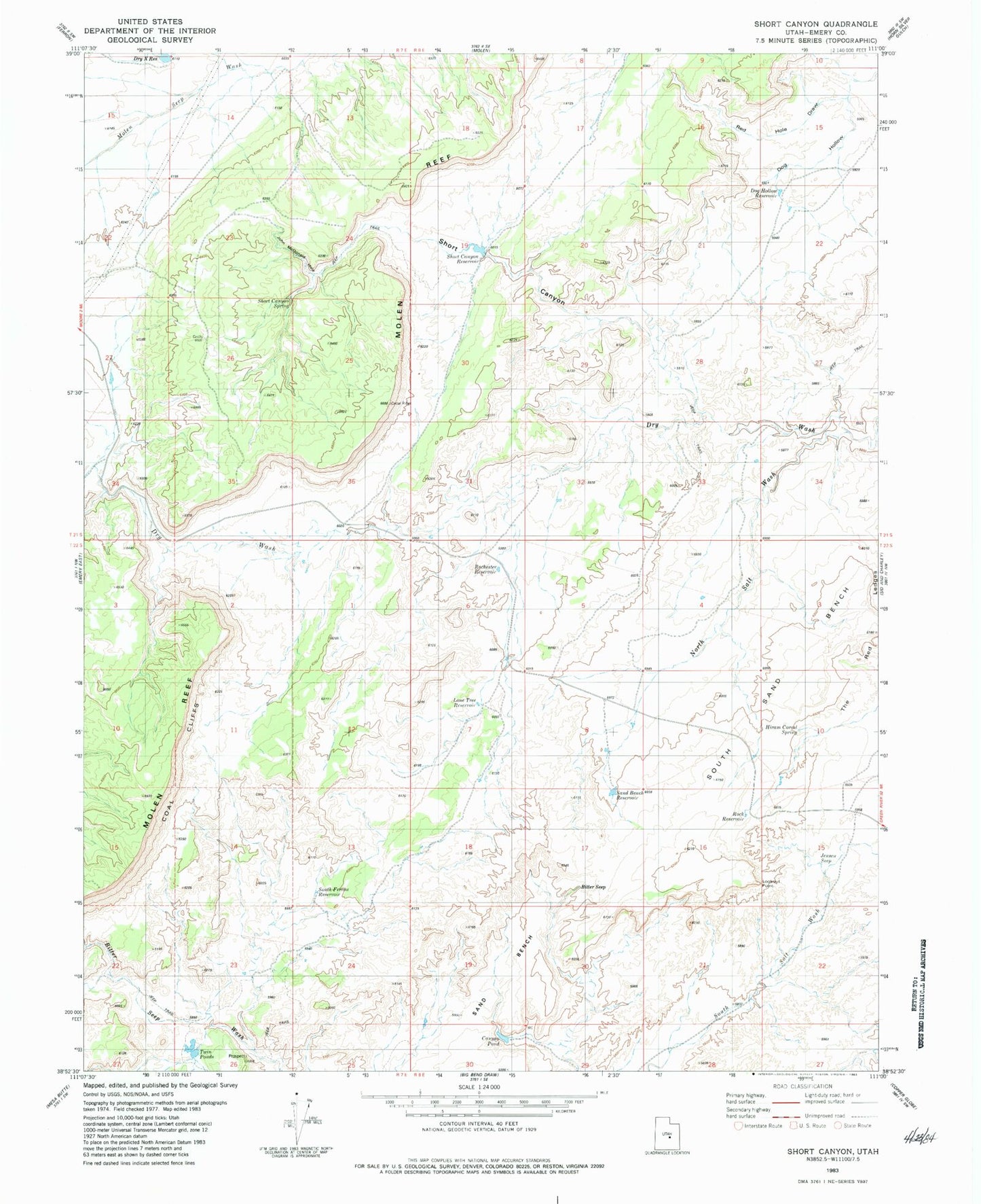
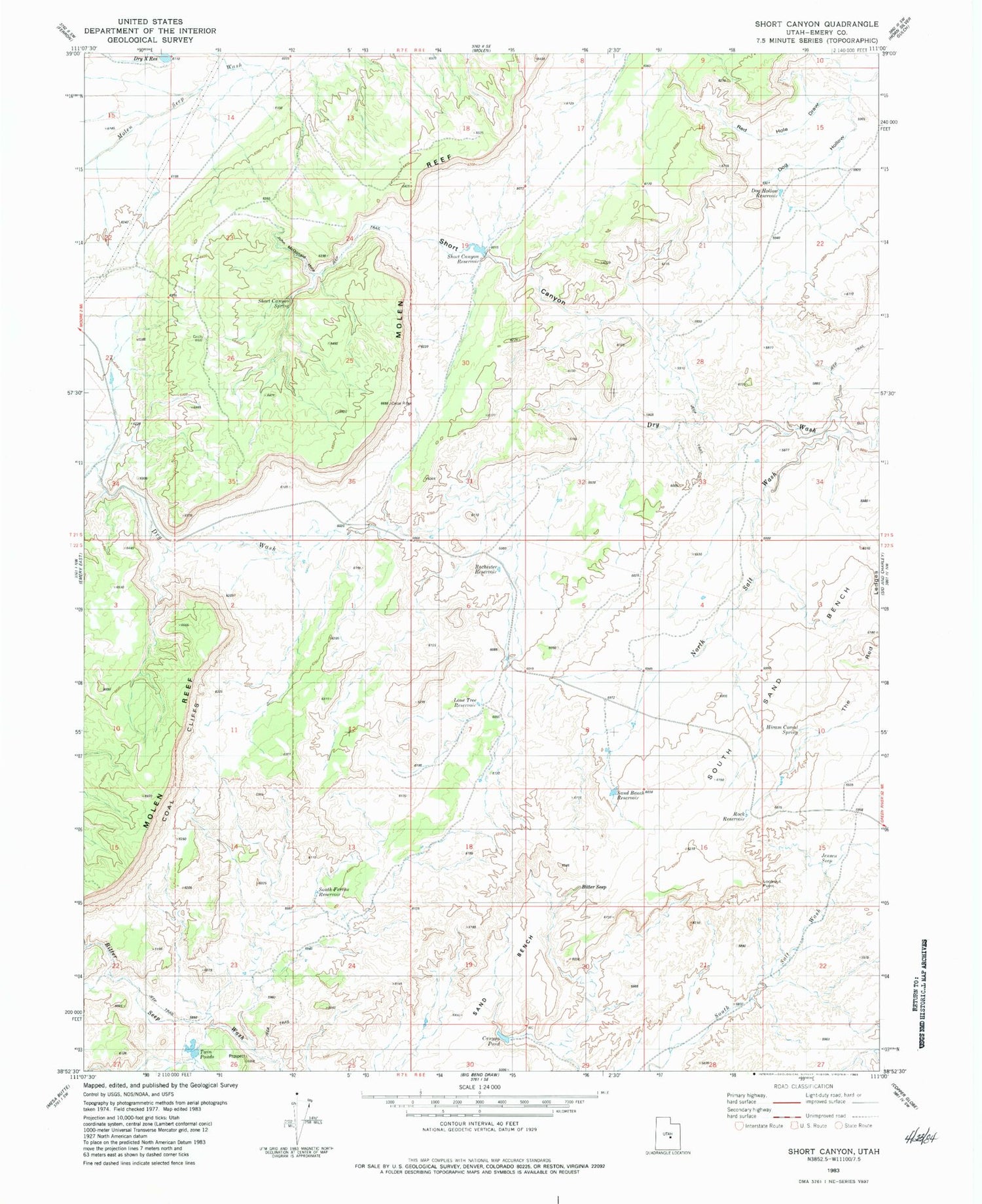
Classic USGS Short Canyon Utah 7.5'x7.5' Topo Map
Couldn't load pickup availability
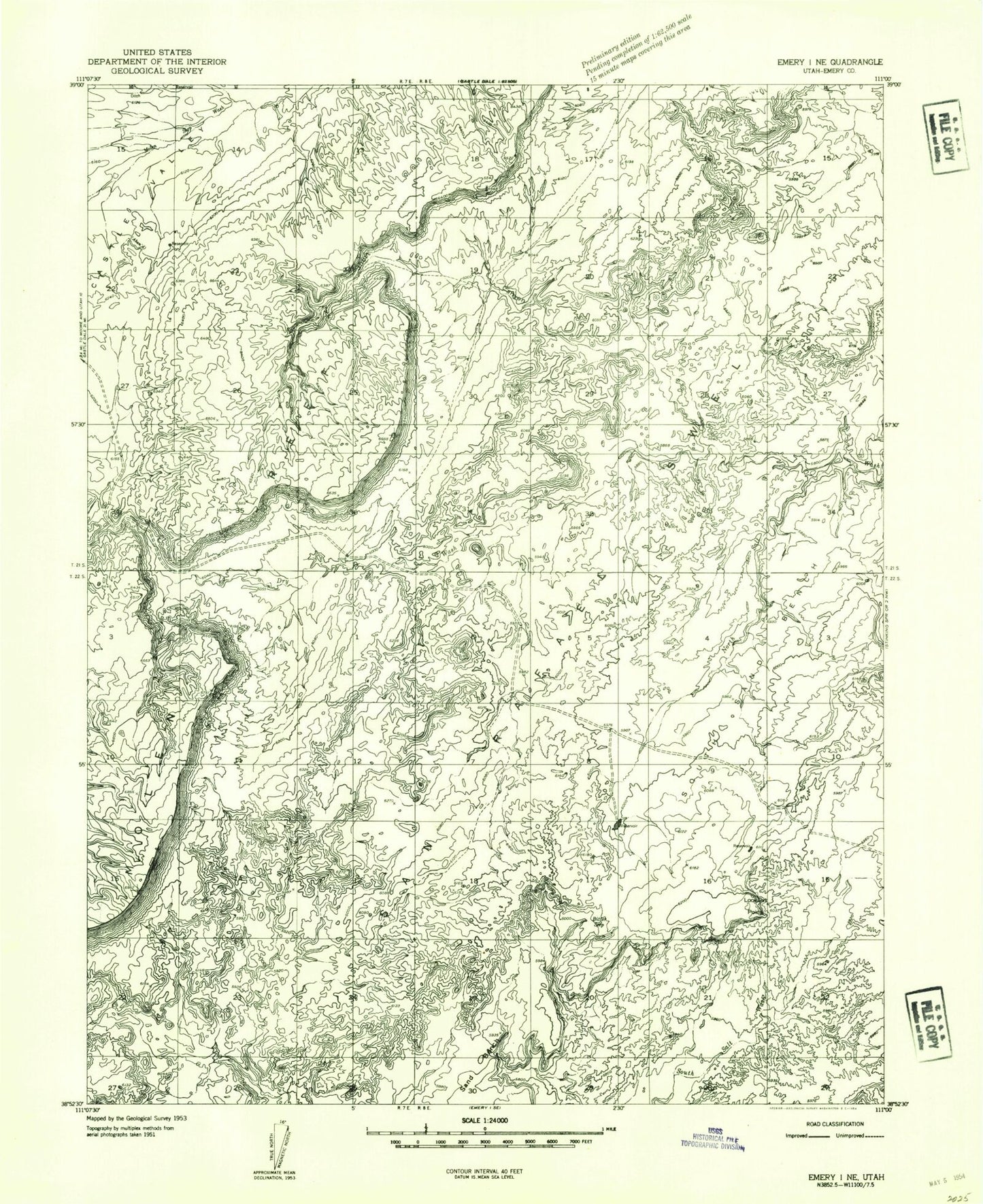
Historical USGS topographic quad map of Short Canyon in the state of Utah. Map scale may vary for some years, but is generally around 1:24,000. Print size is approximately 24" x 27"
This quadrangle is in the following counties: Emery.
The map contains contour lines, roads, rivers, towns, and lakes. Printed on high-quality waterproof paper with UV fade-resistant inks, and shipped rolled.
Contains the following named places: Bitter Seep, Canyon Pond, Dog Hollow, Dog Hollow Reservoir, Dry Wash, Dry X Reservoir, Hiram Corral Spring, Jensen Seep, John McDonald Hole, Lone Tree Reservoir, Lookout Point, Molen Reef, Molen Seep Wash, Rochester Reservoir, Rock Reservoir, Sand Bench Reservoir, Short Canyon, Short Canyon Reservoir, Short Canyon Spring, South Ferron Reservoir, South Sand Bench, Twin Ponds