MyTopo
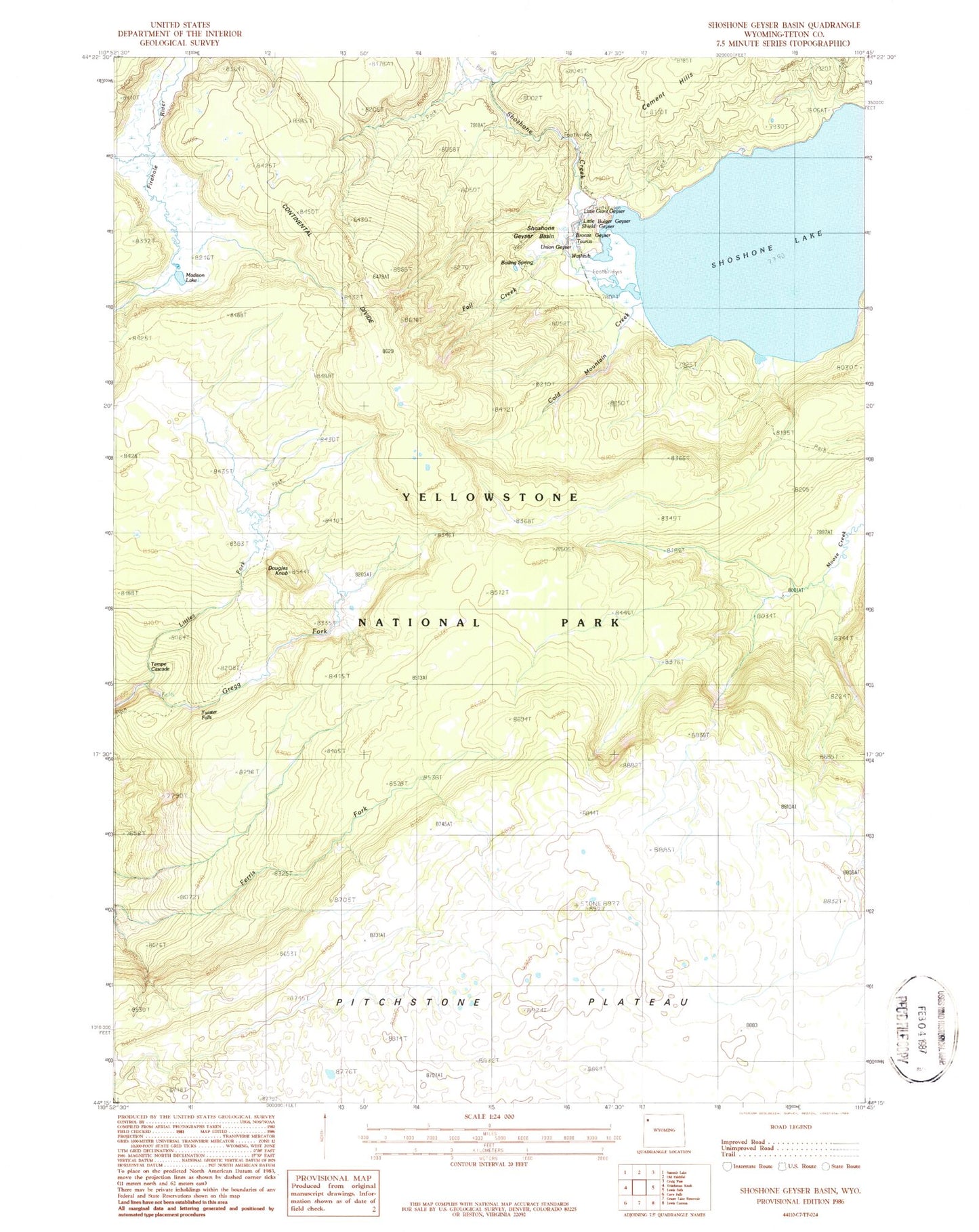
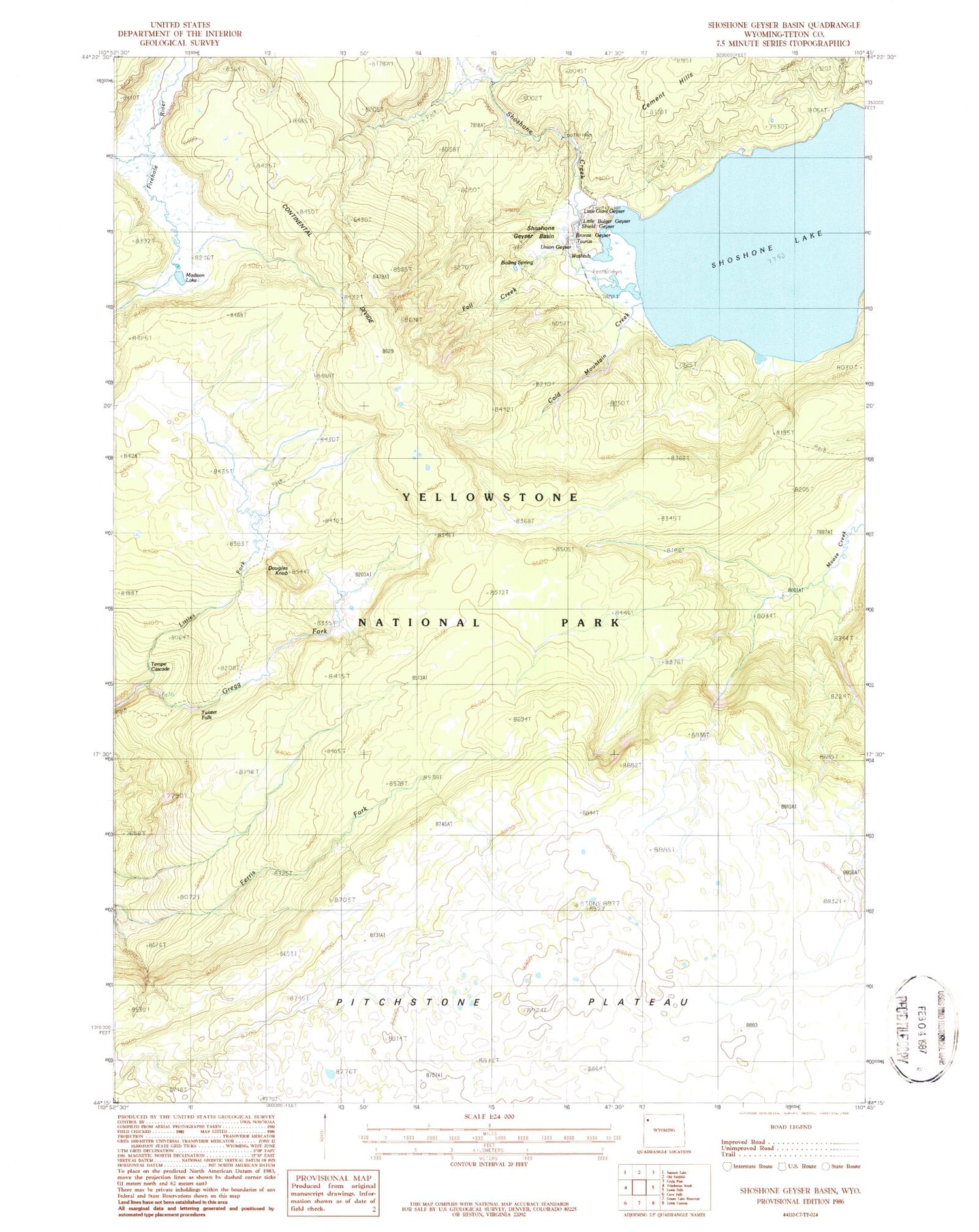
Classic USGS Shoshone Geyser Basin Wyoming 7.5'x7.5' Topo Map
Couldn't load pickup availability
Historical USGS topographic quad map of Shoshone Geyser Basin in the state of Wyoming. Typical map scale is 1:24,000, but may vary for certain years, if available. Print size: 24" x 27"
This quadrangle is in the following counties: Teton.
The map contains contour lines, roads, rivers, towns, and lakes. Printed on high-quality waterproof paper with UV fade-resistant inks, and shipped rolled.
Contains the following named places: Cold Mountain Creek, Douglas Knob, Fall Creek, Littles Fork, Madison Lake, Shoshone Creek, Shoshone Geyser Basin, Twister Falls, Funnel Spring, Pitchstone Plateau, Tempe Cascade, Vault Spring, Shoshone Geyser, Black Boiler Spring, Black Sulphur Spring, Bronze Geyser, Little Bulger Geyser, Little Giant Geyser, Minute Man Geyser, Shield Springs, Shield Geyser, Swamp Lake, Union Geyser, Velvet Spring, Washtub Spring, Taurus Spring, Boiling Spring, Orion Group


