MyTopo
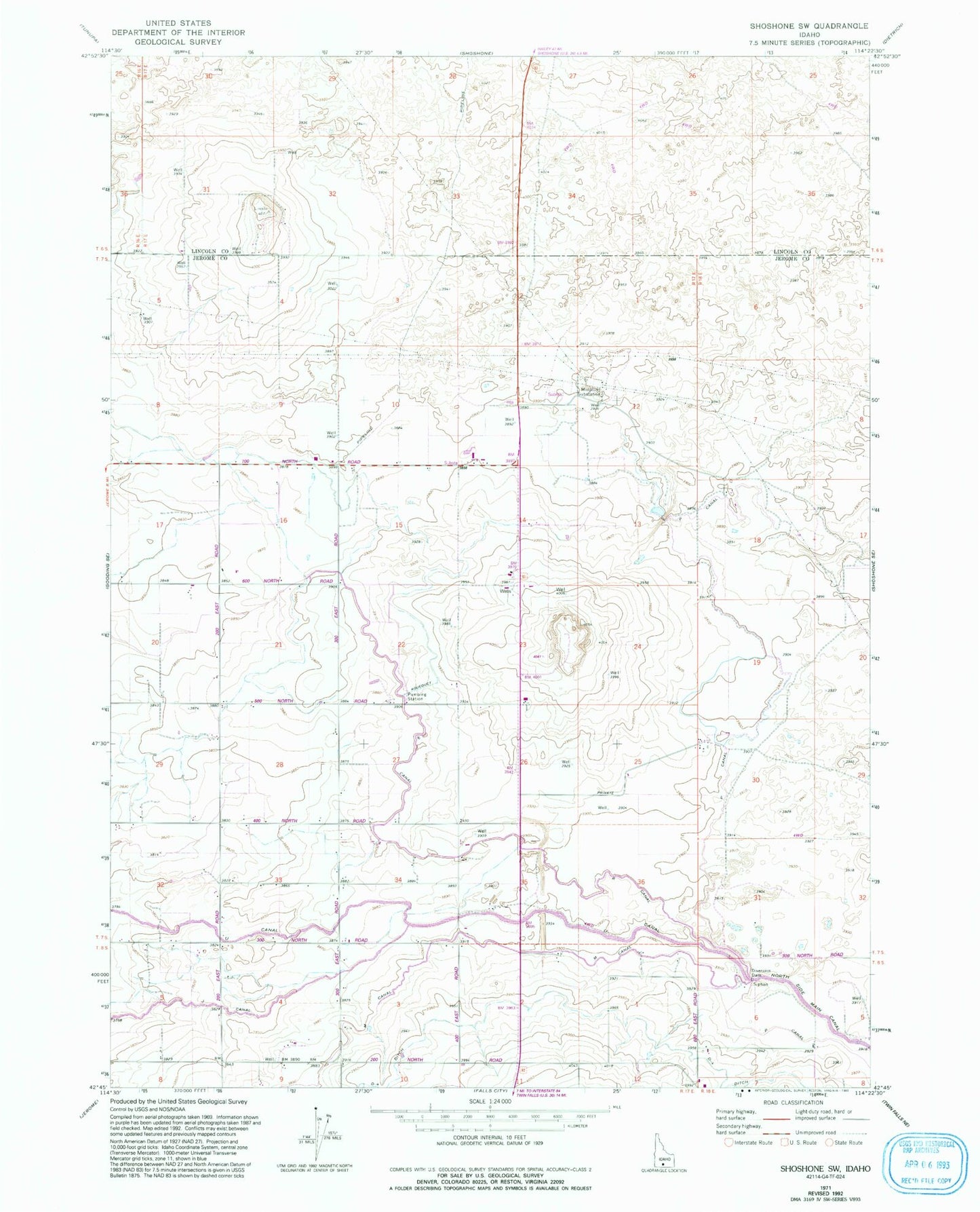
Classic USGS Shoshone SW Idaho 7.5'x7.5' Topo Map
Couldn't load pickup availability
Historical USGS topographic quad map of Shoshone SW in the state of Idaho. Map scale may vary for some years, but is generally around 1:24,000. Print size is approximately 24" x 27"
This quadrangle is in the following counties: Jerome, Lincoln.
The map contains contour lines, roads, rivers, towns, and lakes. Printed on high-quality waterproof paper with UV fade-resistant inks, and shipped rolled.
Contains the following named places: Bacon Reservoir Ranch, D Four Ditch, J Canal, Lateral J-15, Lateral M-6, Lateral PE4, Lateral R-1, Lateral R-12, Lateral R-16, Lateral R-2, Lateral R-22, Lateral R-3, Lateral R-5, Lateral R-6, Lateral R-6A, Lateral R-8, Lateral U-7, M Canal, Midpoint Substation, P Canal, P-2 Pipeline, R Canal, U Canal