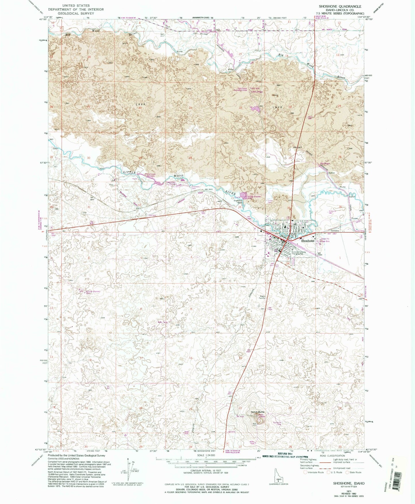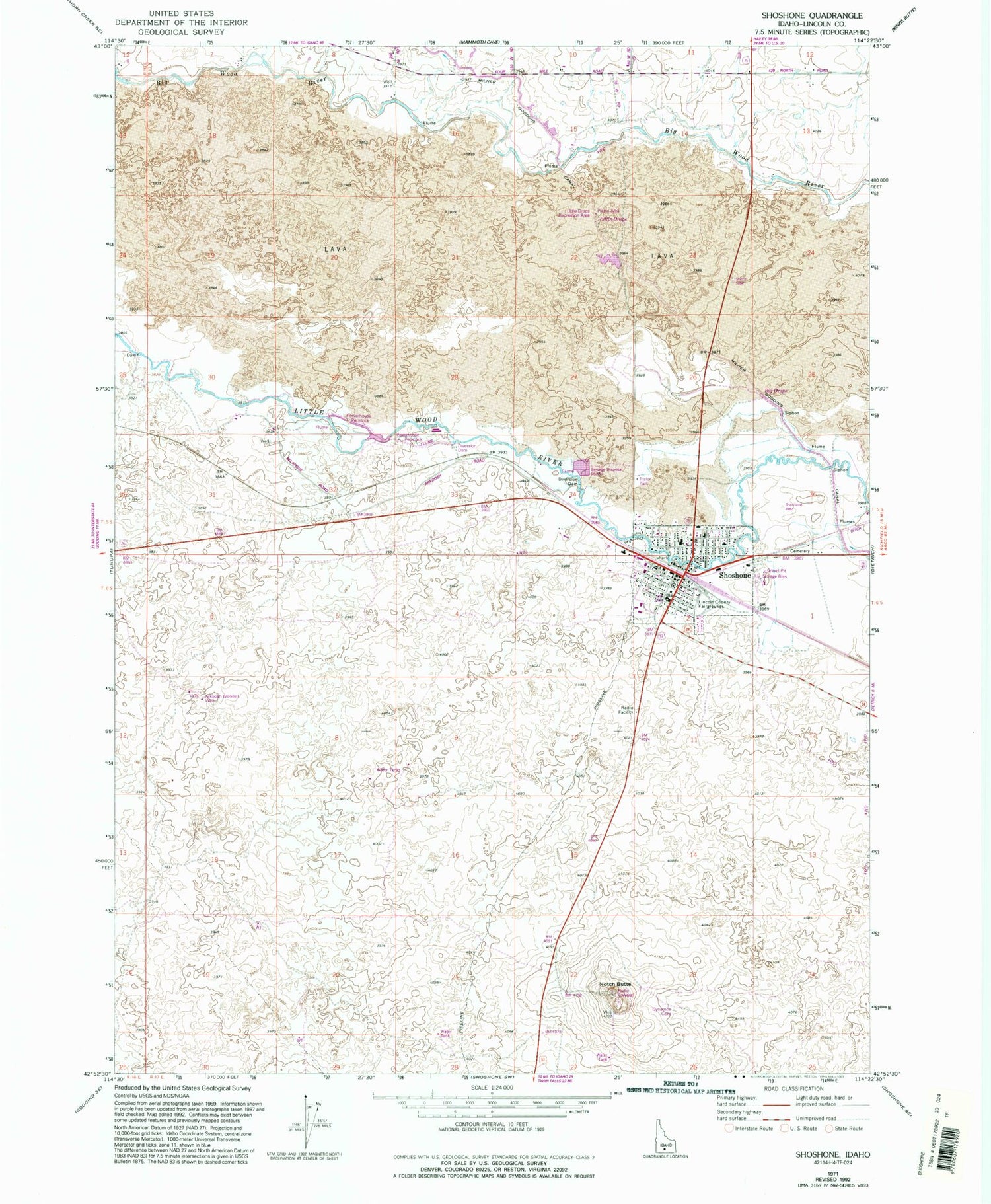
MyTopo
Classic USGS Shoshone Idaho 7.5'x7.5' Topo Map
Couldn't load pickup availability
Historical USGS topographic quad map of Shoshone in the state of Idaho. Map scale may vary for some years, but is generally around 1:24,000. Print size is approximately 24" x 27"
This quadrangle is in the following counties: Lincoln.
The map contains contour lines, roads, rivers, towns, and lakes. Printed on high-quality waterproof paper with UV fade-resistant inks, and shipped rolled.
Contains the following named places: Arkoosh Wendell Well, Big Drops, Bureau of Land Management Shoshone Field Office, City of Shoshone, Disney, Idaho Department of Transportation, Lateral C, Lincoln County Courthouse, Lincoln County Fairgrounds, Lincoln County Sheriff's Office, Lincoln Elementary School, Lincoln School, Little Drops, Little Drops Recreation Area, Mary L Gooding Memorial Park, Notch Butte, Notch Butte Hydro, Shorock Hydro, Shoshone, Shoshone BLM Heliport, Shoshone City Rural Fire District Station 1, Shoshone High School, Shoshone Landing Area, Shoshone Middle School, Shoshone Police Department, Shoshone Post Office