MyTopo
Classic USGS Shottsville Alabama 7.5'x7.5' Topo Map
Couldn't load pickup availability
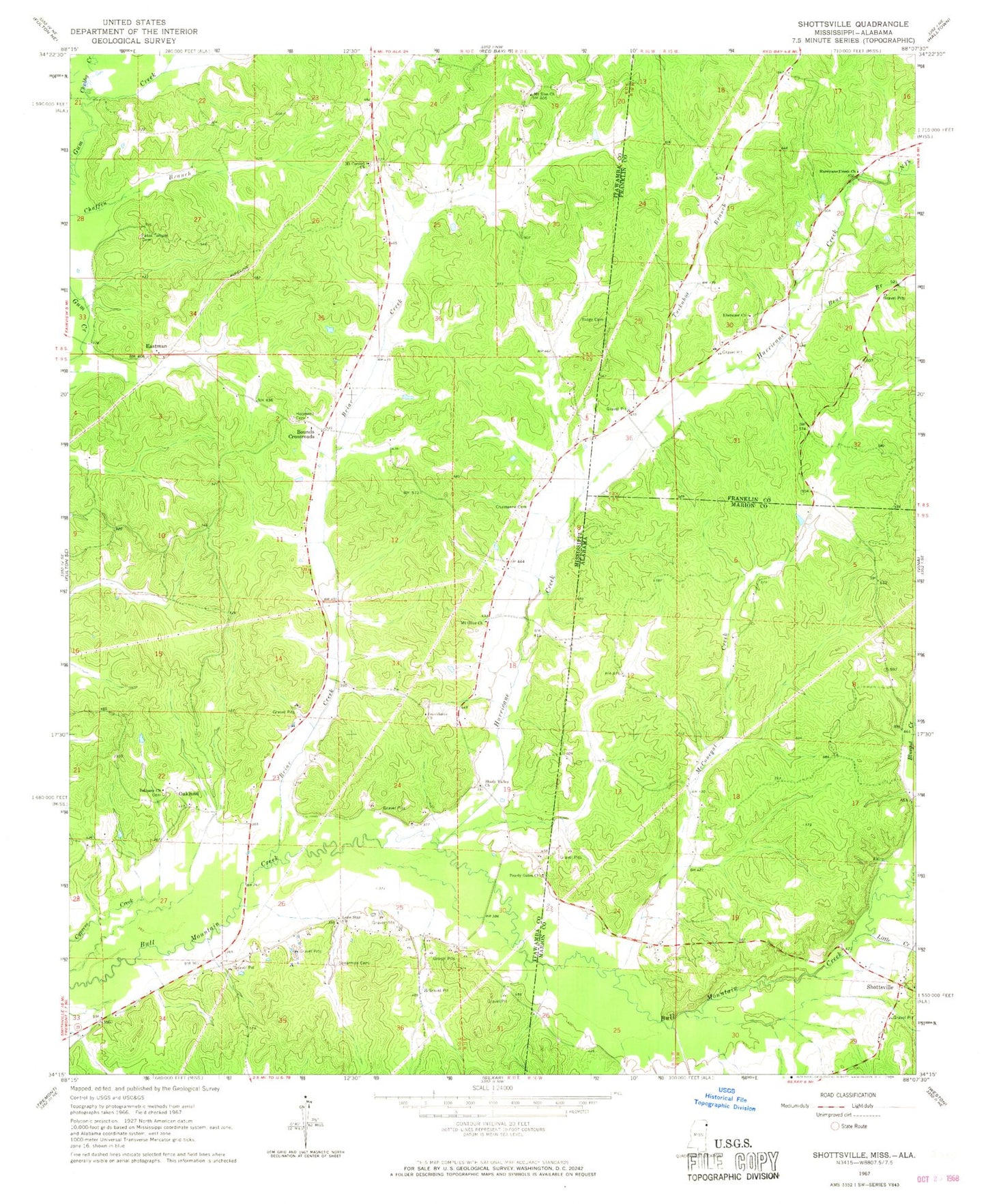
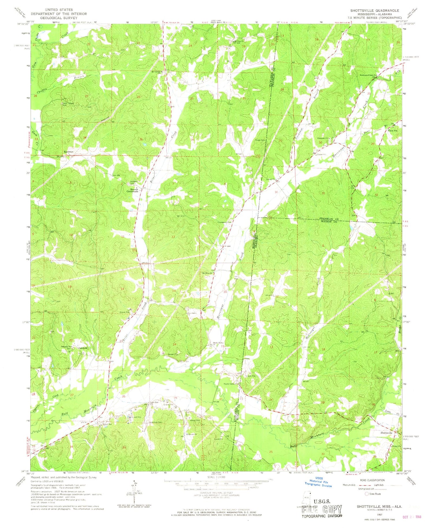
Historical USGS topographic quad map of Shottsville in the states of Alabama, Mississippi. Map scale may vary for some years, but is generally around 1:24,000. Print size is approximately 24" x 27"
This quadrangle is in the following counties: Franklin, Itawamba, Marion.
The map contains contour lines, roads, rivers, towns, and lakes. Printed on high-quality waterproof paper with UV fade-resistant inks, and shipped rolled.
Contains the following named places: Banner Bounds Volunteer Fire Department - Bounds Station, Bear Branch, Bethany Church, Bounds Crossroads, Briar Creek, C W Murphy Pond Dam, Chasteene Cemetery, Chubby Creek, Collier Lake Dam, Donham Cemetery, Eastman, Ebenezer Cemetery, Ebenezer Church, Hopewell Cemetery, Hurricane Creek, Hurricane Creek Church, Little Creek, Lone Star Church, McConegal Creek, Mount Carmel Church, Mount Olive Church, Mount Zion Cemetery, Mount Zion Church, North Fork Hurricane Creek, Oakland, Oakland Cemetery, Pates Temple Cemetery, Pearly Gates Church, Providence Cemetery, Providence Church, Rara Avis, Ridge Cemetery, Shady Valley Church, Shekel, Shottsville, Spearman Cemetery, Tuckahoe Branch, Yale, Yale College


