MyTopo
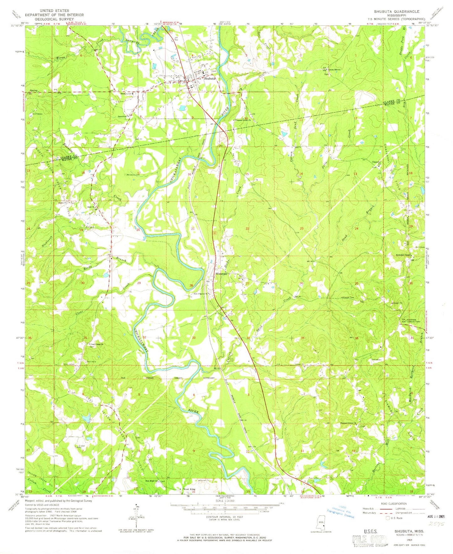
Classic USGS Shubuta Mississippi 7.5'x7.5' Topo Map
Couldn't load pickup availability
Historical USGS topographic quad map of Shubuta in the state of Mississippi. Map scale may vary for some years, but is generally around 1:24,000. Print size is approximately 24" x 27"
This quadrangle is in the following counties: Clarke, Wayne.
The map contains contour lines, roads, rivers, towns, and lakes. Printed on high-quality waterproof paper with UV fade-resistant inks, and shipped rolled.
Contains the following named places: Atkinson Cemetery, Beautiful Church, Bent Church, Brownlee Spur, Carson Sand Creek, Chaparral Cemetery, Chaparral Church, Chaparral Oil Field, Chaparral School, Chapparrell, Clear Creek, Clear Creek Cemetery, Clear Creek Church, Davis School, Diamond Oil Field, Dicks Creek, Double Fork Branch, East Yellow Creek Oil Field, Eucutta Creek, Garland Creek Oil Field, Graham Pond Dam, Greenhill Baptist Church, Hiwannee, Hiwannee Lookout Tower, Julie Creek, MacDavid Millpond Branch, Menasco Cemetery, Menasco School, Menasen Church, Methodist Chapel, Mingo Creek, New Hope Cemetery, New Hope Church, New Pilgrim Church, Nickleson Creek, North Yellow Creek Oil Field, Pleasant Grove Church, Red Level School, Reedy Branch, Salem Church, Sanctified Church, Sand Branch, Shubuta, Shubuta Cemetery, Shubuta City Police Department, Shubuta City Volunteer Fire Department, Shubuta Oil Field, Shubuta Post Office, Shubuta School, Silver Lake, Supervisor District 3, Thompsons Mill, Town of Shubuta, Wayne County Volunteer Fire Department Hiwanee Station, Wayne County Volunteer Fire Department Yellow Creek Station, West King, West King Junction


