MyTopo
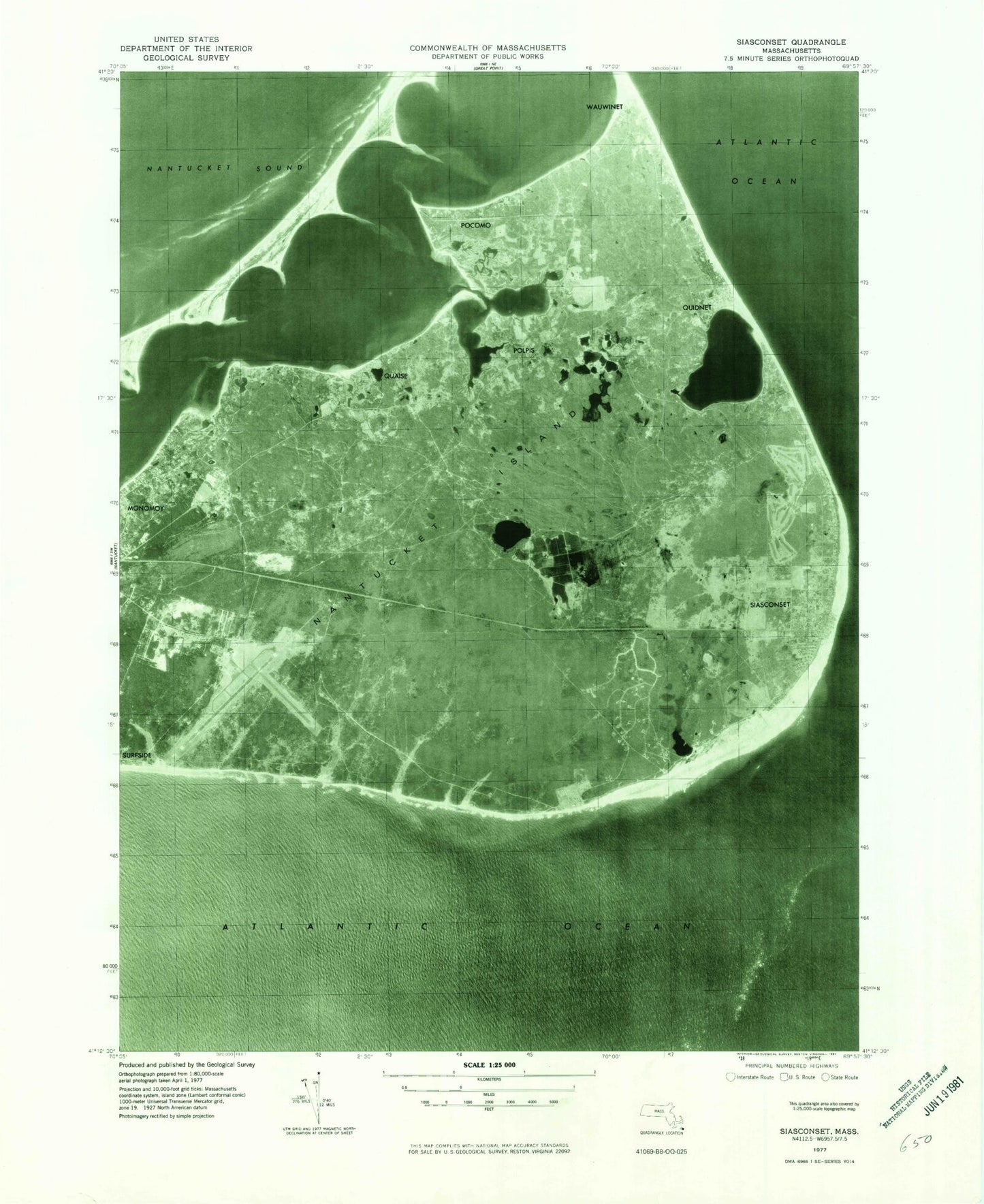
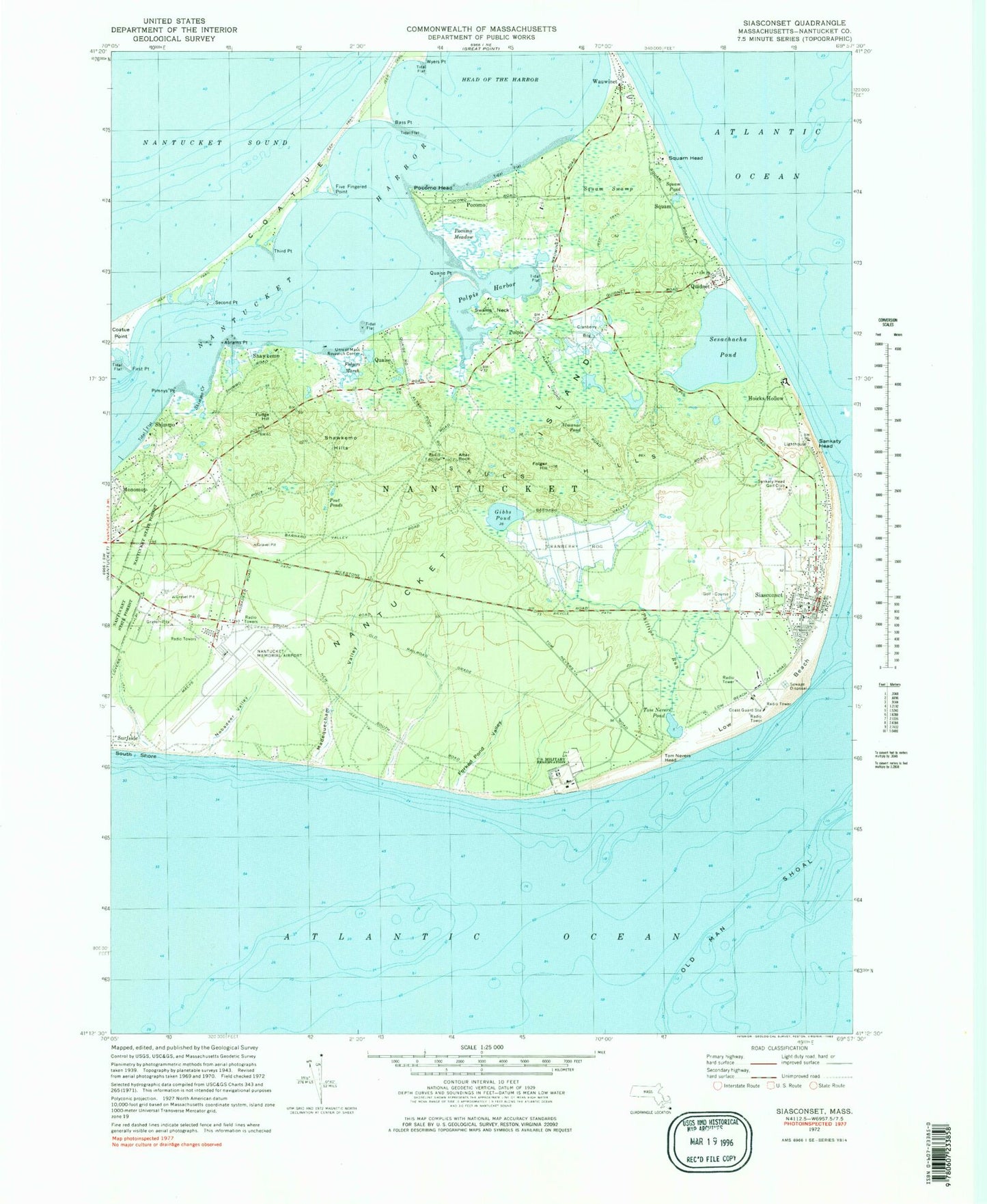
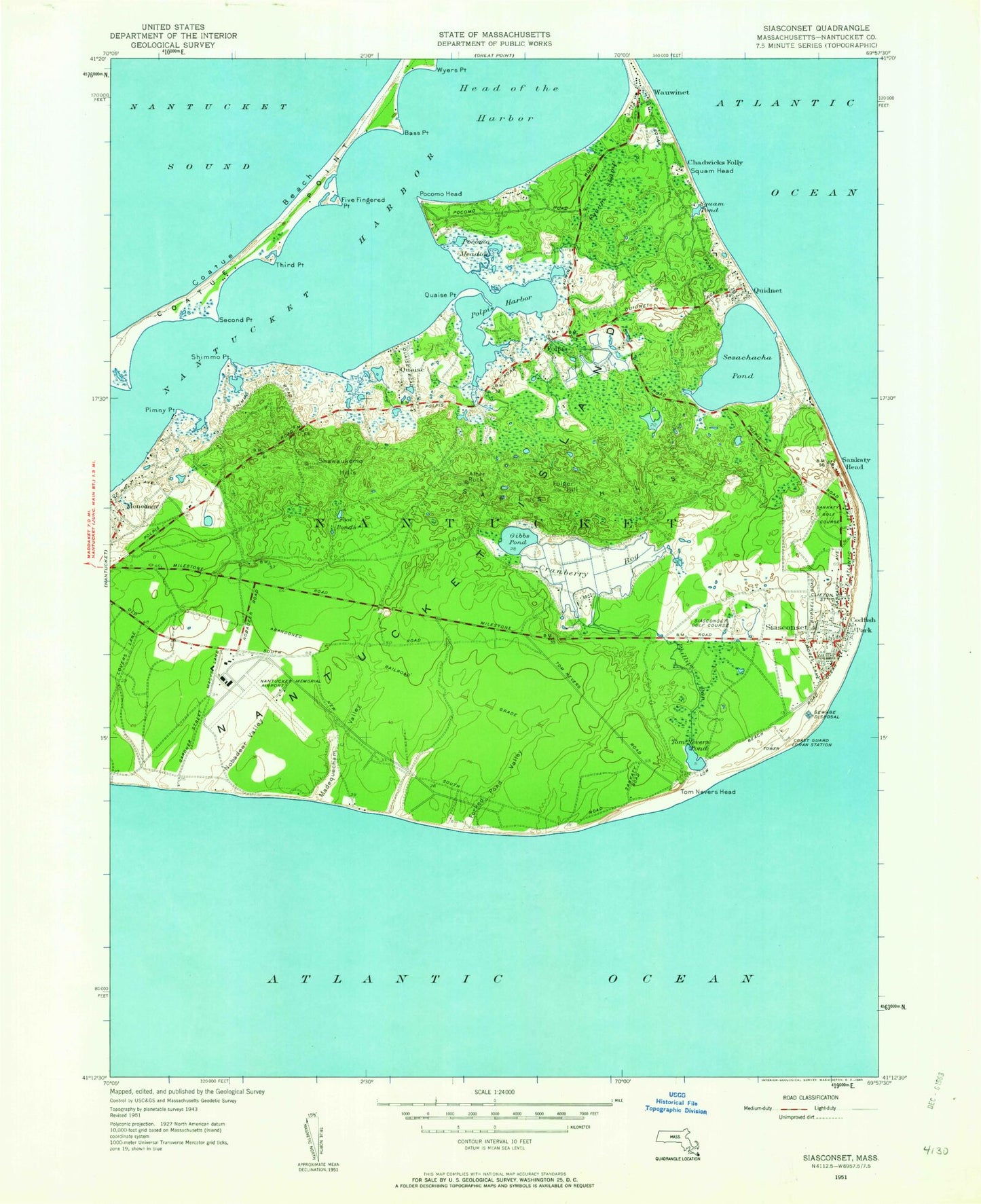
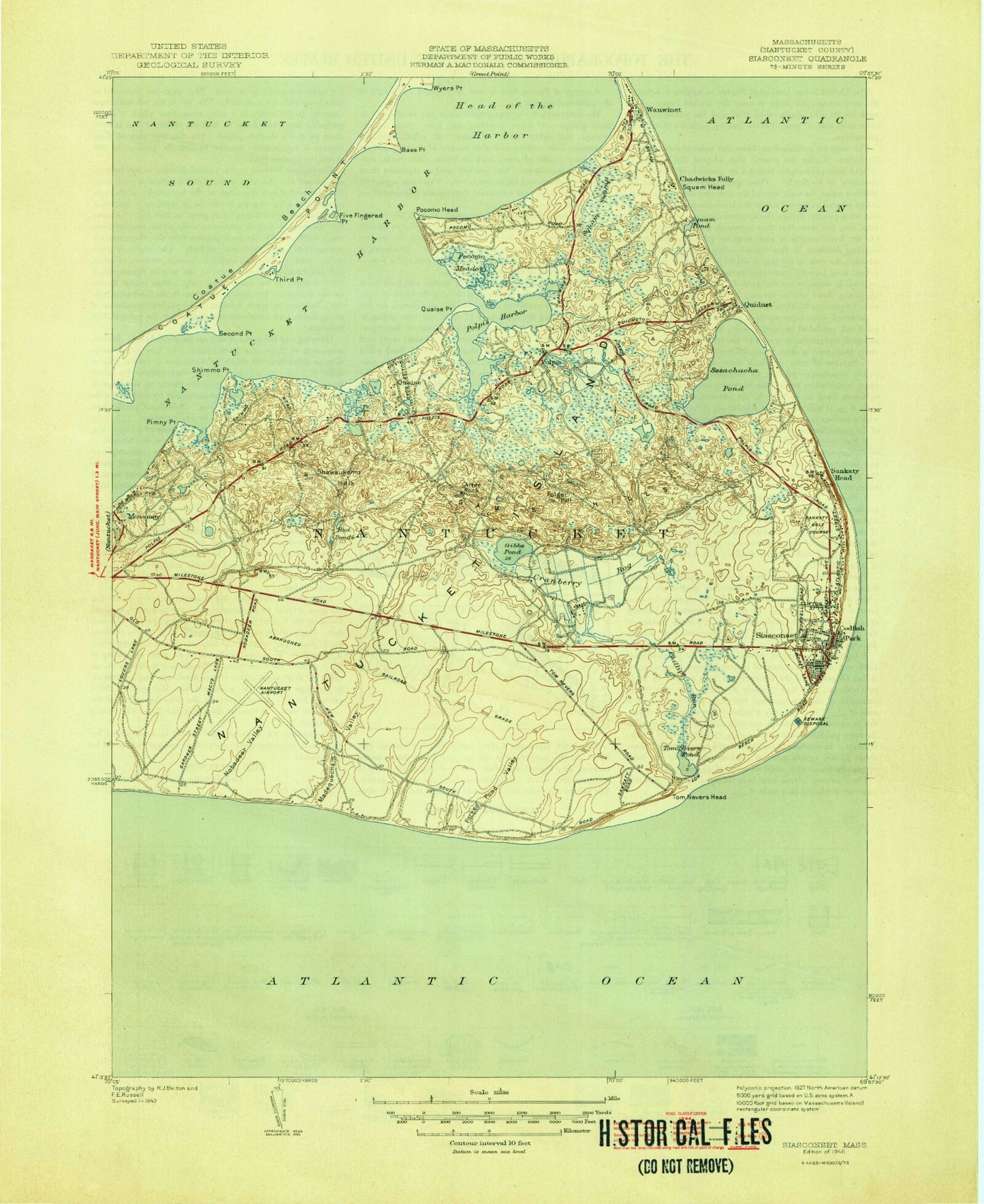
Classic USGS Siasconset Massachusetts 7.5'x7.5' Topo Map
Couldn't load pickup availability
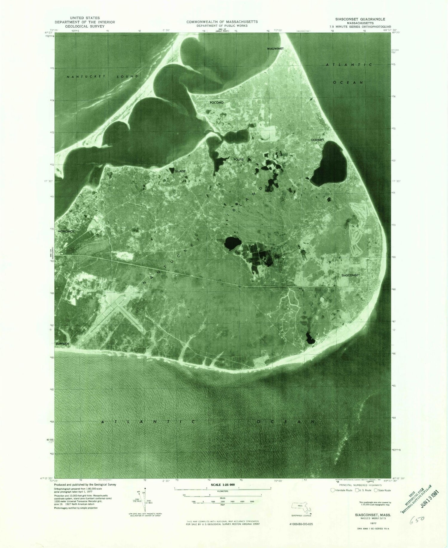
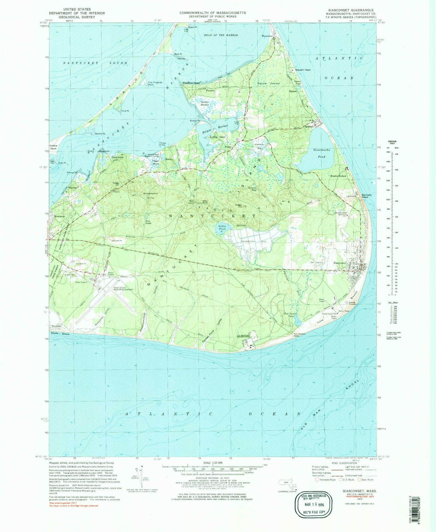
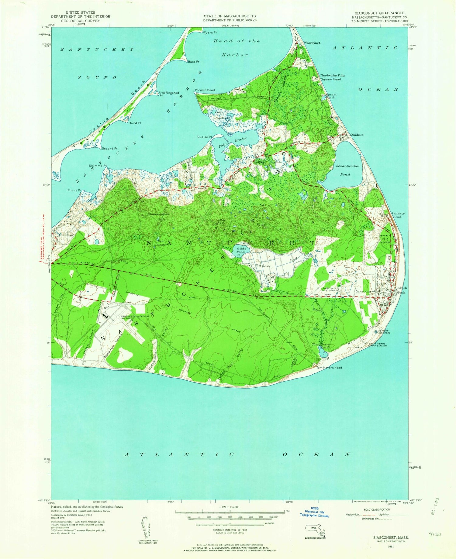
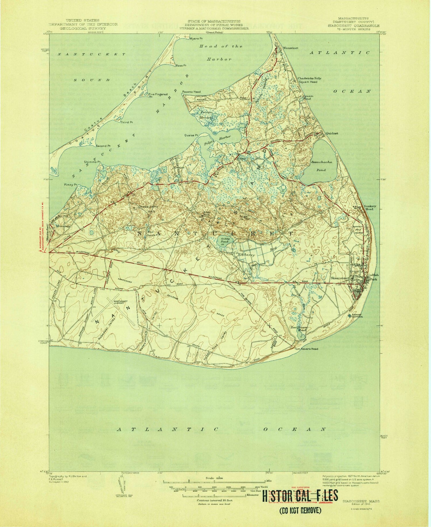
Historical USGS topographic quad map of Siasconset in the state of Massachusetts. Typical map scale is 1:24,000, but may vary for certain years, if available. Print size: 24" x 27"
This quadrangle is in the following counties: Nantucket.
The map contains contour lines, roads, rivers, towns, and lakes. Printed on high-quality waterproof paper with UV fade-resistant inks, and shipped rolled.
Contains the following named places: Quaise Point, Millbrook Creek, Sankaty Head Light, Nantucket Aero Light, Sankaty Head Golf Club, University of Massachusetts Research Center, Coatue Beach, Abrams Creek, Abrams Point, Almanac Pond, Altar Rock, Bass Point, Chadwicks Folly, Codfish Park, First Point, Five Fingered Point, Folger Hill, Folgers Marsh, Forked Pond Valley, Fudge Hill, Gibbs Pond, Hoicks Hollow, Low Beach, Madequecham Valley, Monomoy, Old Man Shoal, Phillips Run, Pimnys Point, Pocomo, Pocomo Head, Pocomo Meadow, Polpis, Polpis Harbor, Pout Ponds, Quaise, Quidnet, Sankaty Head, Sauls Hills, Second Point, Sesachacha Pond, Shawkemo, Shawkemo Hills, Shimmo, Shimmo Creek, Siasconset, Squam, Squam Head, Squam Pond, Squam Swamp, Swains Neck, Third Point, Wauwinet, Wigwam Ponds, Wyers Point, Abnecotants Island, Tom Nevers Pond, Cains Pond, Dyleave Swamp, Eat Fire Spring, Fulling Mill Creek, Gibbs Swamp, Tom Nevers Head, Island Creek, Middle Pasture (historical), Pest House Shore, Pest House Pond, Plainfield (historical), Sesachacha, Shimmo Pond, Smugs Ria, Snake Spring, South East Quarter (historical), Split Rock, Spotsa Swamp, Stony Brook, Taupawshas Swamp, Tom Nevers Swamp, Watts Run, Wigwam Pond (historical), Wigwam Valley, Madequecham Pond, Nobadeer Pond (historical), Nobadeer Valley, Nantucket Harbor, Head of the Harbor, Cains Hill, Rest House Pond, Nantucket Memorial Airport, Nantucket Island, North Pasture (historical), Chappomiss Valley, Squam (historical), Madequecham Beach, Coatue-Coskata Wildlife Refuge, Nantucket Life Saving Museum, Nobadeer Beach, Pebble Beach, Polpis Burying Ground, Quidnet Beach, Siasconset Beach, Siasconset Golf Course, Surfside Beach, Union Chapel, Siasconset Census Designated Place, Nantucket Carrier Annex Post Office, Siasconset Post Office, Quaise Burial Ground, Quaise Point, Millbrook Creek, Sankaty Head Light, Nantucket Aero Light, Sankaty Head Golf Club, University of Massachusetts Research Center, Coatue Beach, Abrams Creek, Abrams Point, Almanac Pond, Altar Rock, Bass Point, Chadwicks Folly, Codfish Park, First Point, Five Fingered Point, Folger Hill, Folgers Marsh, Forked Pond Valley, Fudge Hill, Gibbs Pond, Hoicks Hollow, Low Beach, Madequecham Valley, Monomoy, Old Man Shoal, Phillips Run, Pimnys Point, Pocomo, Pocomo Head, Pocomo Meadow, Polpis, Polpis Harbor, Pout Ponds, Quaise, Quidnet, Sankaty Head, Sauls Hills, Second Point, Sesachacha Pond, Shawkemo, Shawkemo Hills, Shimmo, Shimmo Creek, Siasconset, Squam, Squam Head, Squam Pond, Squam Swamp, Swains Neck, Third Point, Wauwinet, Wigwam Ponds, Wyers Point, Abnecotants Island, Tom Nevers Pond, Cains Pond, Dyleave Swamp, Eat Fire Spring, Fulling Mill Creek, Gibbs Swamp, Tom Nevers Head, Island Creek, Middle Pasture (historical), Pest House Shore, Pest House Pond, Plainfield (historical), Sesachacha, Shimmo Pond, Smugs Ria, Snake Spring, South East Quarter (historical), Split Rock, Spotsa Swamp, Stony Brook, Taupawshas Swamp, Tom Nevers Swamp, Watts Run, Wigwam Pond (historical), Wigwam Valley, Madequecham Pond, Nobadeer Pond (historical), Nobadeer Valley, Nantucket Harbor, Head of the Harbor, Cains Hill, Rest House Pond, Nantucket Memorial Airport, Nantucket Island, North Pasture (historical), Chappomiss Valley, Squam (historical), Madequecham Beach, Coatue-Coskata Wildlife Refuge, Nantucket Life Saving Museum, Nobadeer Beach, Pebble Beach, Polpis Burying Ground, Quidnet Beach, Siasconset Beach, Siasconset Golf Course, Surfside Beach, Union Chapel, Siasconset Census Designated Place, Nantucket Carrier Annex Post Office, Siasconset Post Office, Quaise Burial Ground, Quaise Point, Millbrook Creek, Sankaty Head Light, Nantucket Aero Light, Sankaty Head Golf Club, University of Massachusetts Research Center, Coatue Beach, Abrams Creek, Abrams Point, Almanac Pond, Altar Rock, Bass Point, Chadwicks Folly, Codfish Park, First Point, Five Fingered Point, Folger Hill, Folgers Marsh, Forked Pond Valley, Fudge Hill, Gibbs Pond, Hoicks Hollow
