MyTopo
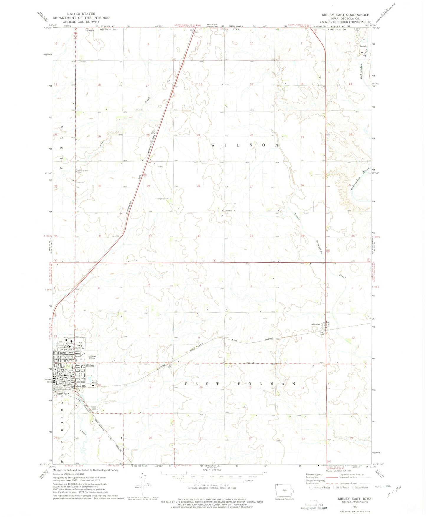
Classic USGS Sibley East Iowa 7.5'x7.5' Topo Map
Couldn't load pickup availability
Historical USGS topographic quad map of Sibley East in the state of Iowa. Map scale may vary for some years, but is generally around 1:24,000. Print size is approximately 24" x 27"
This quadrangle is in the following counties: Nobles, Osceola.
The map contains contour lines, roads, rivers, towns, and lakes. Printed on high-quality waterproof paper with UV fade-resistant inks, and shipped rolled.
Contains the following named places: Alex Farms, Allendorf, Allendorf Post Office, Beltman Farms, Braaksma Grain Farms, Central Park, Christian Reformed Church, City of Sibley, Country View Manor Incorporated, Family Medicine Clinic, Feldkamp Farms, First Baptist Church, First Presbyterian Church, First Reformed Church, Hawkeye Point, Holman, Holman Post Office, J D K Farms, Jacobsma Farms, Jet Farms, Johnson Wilderness Area, McCallum Museum and Brunson Heritage House, North Sibley Cemetery, Northwest Iowa Urologists Center, Osceola Community Hospital, Osceola Community Hospital Heliport, Osceola County Courthouse, Osceola County Sheriff's Office, Ransom Wildlife Management Area, Robinson Park, Saint Andrews Church, Sharbondy Park, Sibley - Ocheyedan Elementary School, Sibley - Ocheyedan High School, Sibley - Ocheyedan Middle School, Sibley Care Center, Sibley Golf and Country Club, Sibley Post Office, Sibley Public Library, Township of East Holman, Township of Holman, Township of Wilson, Trinity Lutheran Church, Trinity Reformed Church, United Church of Christ, United Methodist Church, Wasmund Slough, Wilson Townhall, Wilson Township Cemetery, Winkel Memorial Trail, ZIP Code: 51249