MyTopo
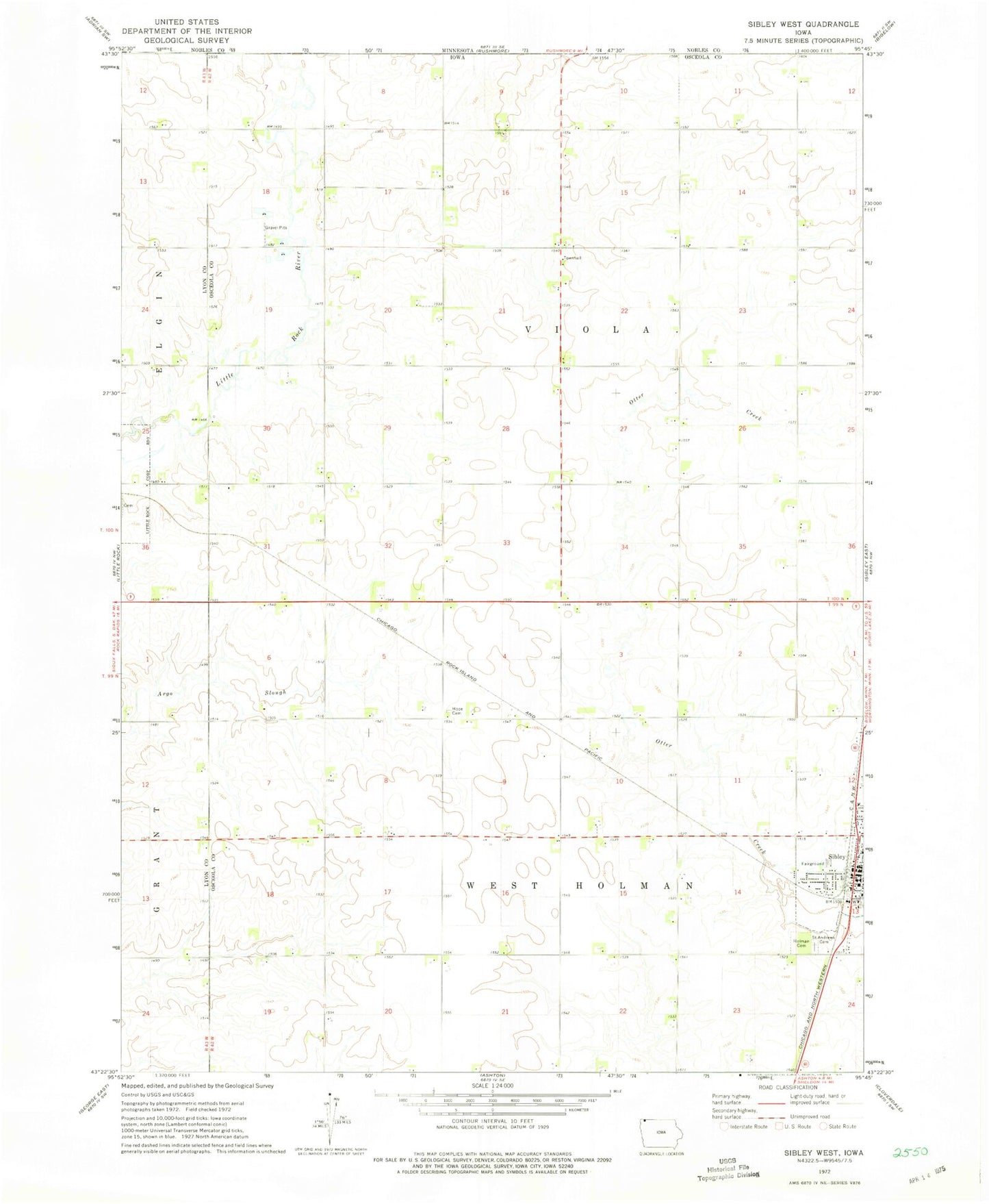
Classic USGS Sibley West Iowa 7.5'x7.5' Topo Map
Couldn't load pickup availability
Historical USGS topographic quad map of Sibley West in the state of Iowa. Map scale may vary for some years, but is generally around 1:24,000. Print size is approximately 24" x 27"
This quadrangle is in the following counties: Lyon, Nobles, Osceola.
The map contains contour lines, roads, rivers, towns, and lakes. Printed on high-quality waterproof paper with UV fade-resistant inks, and shipped rolled.
Contains the following named places: Co-op Elevator Association - Sibley Elevator, Croatt Farms, Dreher Farm, Fairgrounds Park, Friendly Dental Clinic, Gradert Farms, Holman Cemetery, Hope Church Cemetery, J D M Farm, J M D Farms, Osceola County Ambulance Service Sibley Division, Osceola County Fairgrounds, Peters Pit Access Area, Saint Andrews Catholic Cemetery, Sibley, Sibley Eye Care Center, Sibley Family and Sports Chiropractic Center, Sibley Volunteer Fire Department, Sunset Park, T K C Farms, Township of Viola, Township of West Holman, Triple Pine Farm, Viola Wildlife Management Area, Wiese Chiropractic Office


