MyTopo
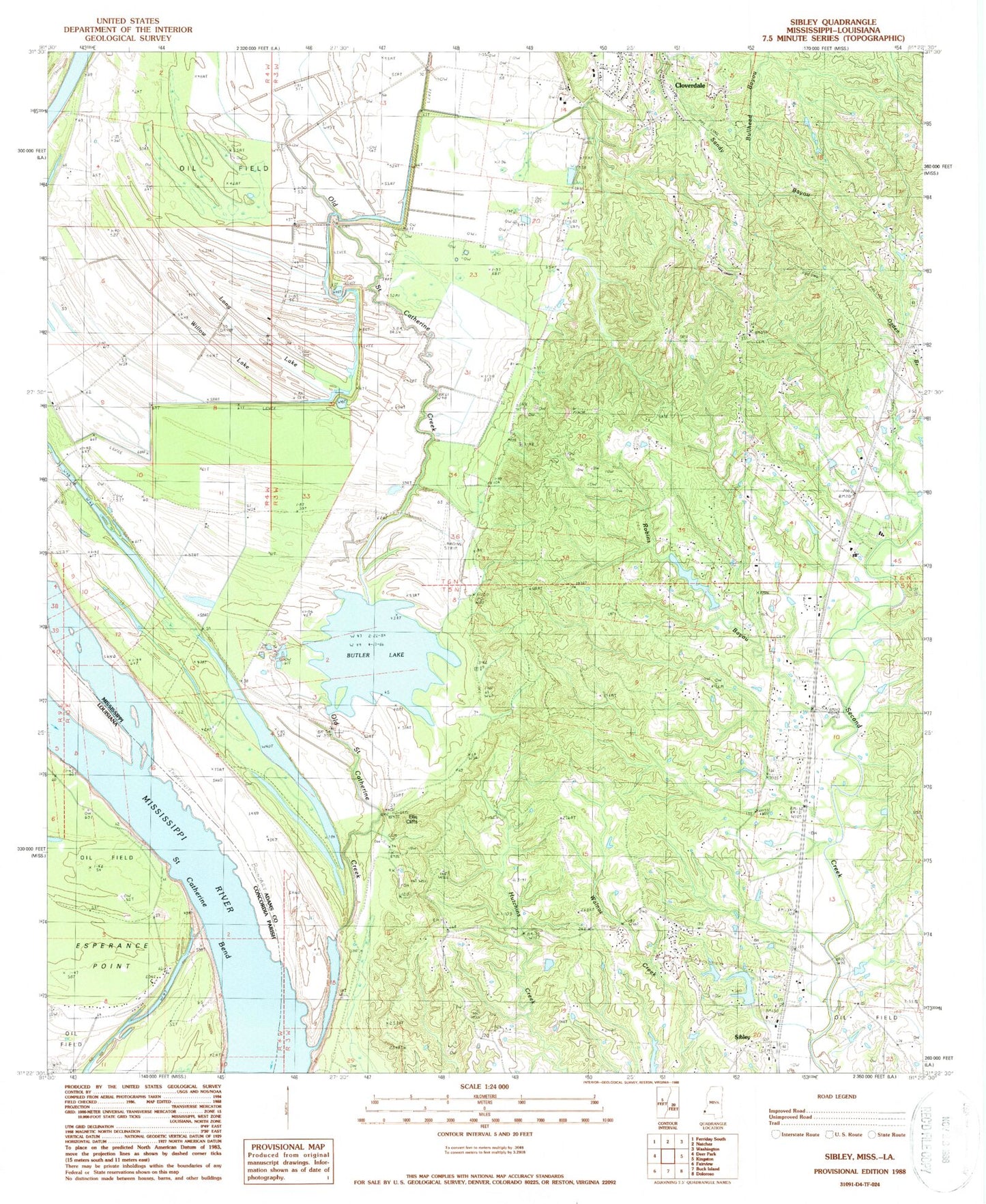
Classic USGS Sibley Mississippi 7.5'x7.5' Topo Map
Couldn't load pickup availability
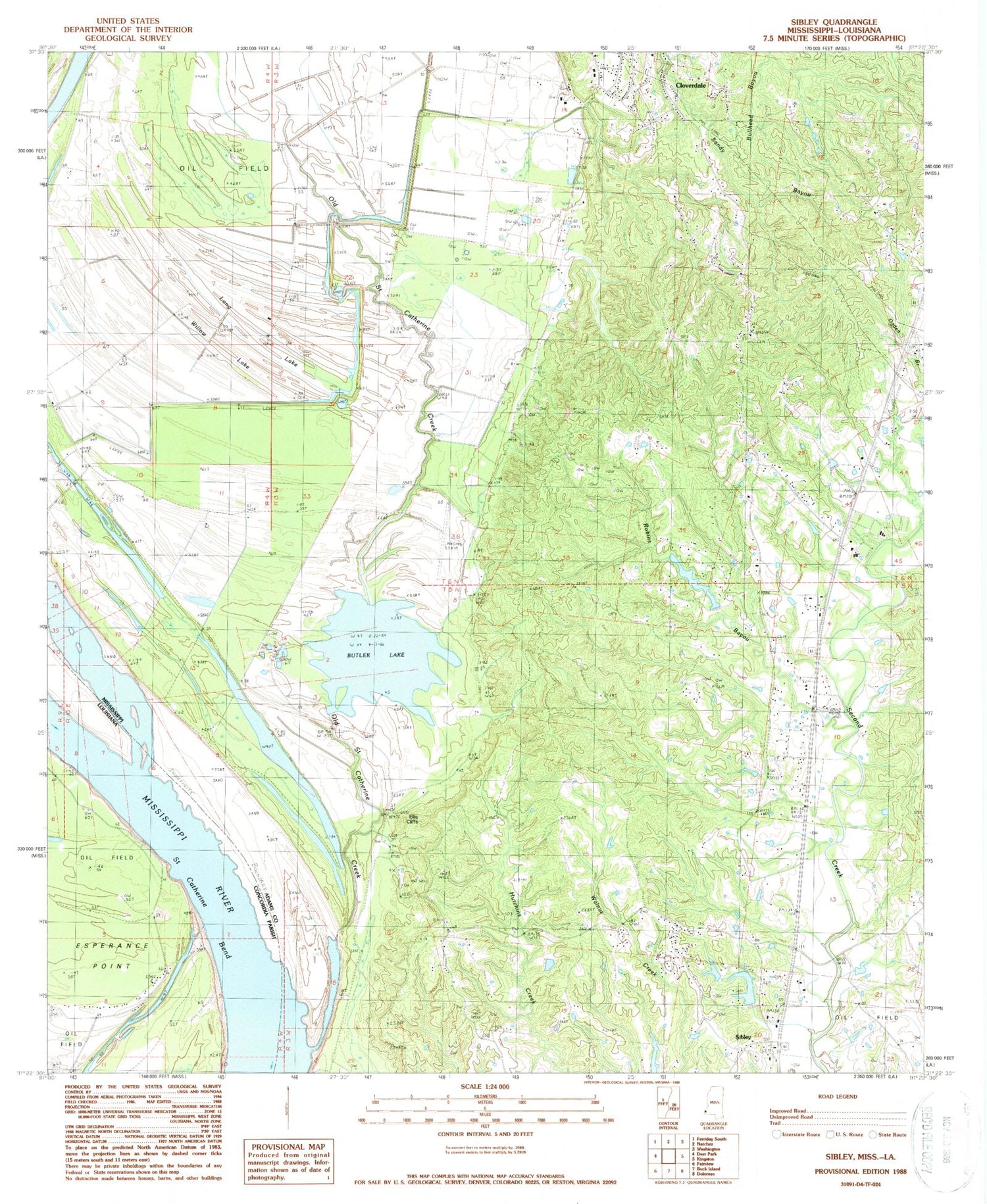
Historical USGS topographic quad map of Sibley in the states of Mississippi, Louisiana. Map scale may vary for some years, but is generally around 1:24,000. Print size is approximately 24" x 27"
This quadrangle is in the following counties: Adams, Concordia.
The map contains contour lines, roads, rivers, towns, and lakes. Printed on high-quality waterproof paper with UV fade-resistant inks, and shipped rolled.
Contains the following named places: Anchorage Oil Field, Beverly Oil Field, Beverly Plantation, Bourbon Oil Field, Bright Morning Star Church, Butler Lake, Butler Lake Oil Field, Carthage Point Oil Field, Cloverdale, Cloverdale Baptist Church, Cloverdale Census Designated Place, Cloverdale Oil Field, Cloverdale School, Destruction Landing, Ellis Cliffs, Ellis Cliffs Oil Field, Esperance Landing, Forest Cemetery, Glen Aubin Oil Field, Grove African Methodist Episcopal Church, Grove School, Hilo Oil Field, Hutchins Landing, Indian Village Church, Ivanhoe Oil Field, Lake Montrose Volunteer Fire Department, Laurel Hill Oil Field, Long Lake, Long Lake Oil Field, Mercy Seat Church, Mount Olive Baptist Church Cemetery, Mount Olive Church, Mrs Roland Stacy Lake Dam, New Era Oil Field, Ogden Bayou Oil Field, Old Saint Catherine Creek, Robbins Bayou Oil Field, Robbins Lake Dam, Robins Bayou, Saint Catherine Bend, Saint Catherine Creek National Wildlife Refuge, Saint James Church, Saint Luke Church, Sibley, Sibley Post Office, Southeast Woodlands Oil Field, Willow Glen Oil Field, Willow Lake, Woodlands Oil Field


