MyTopo
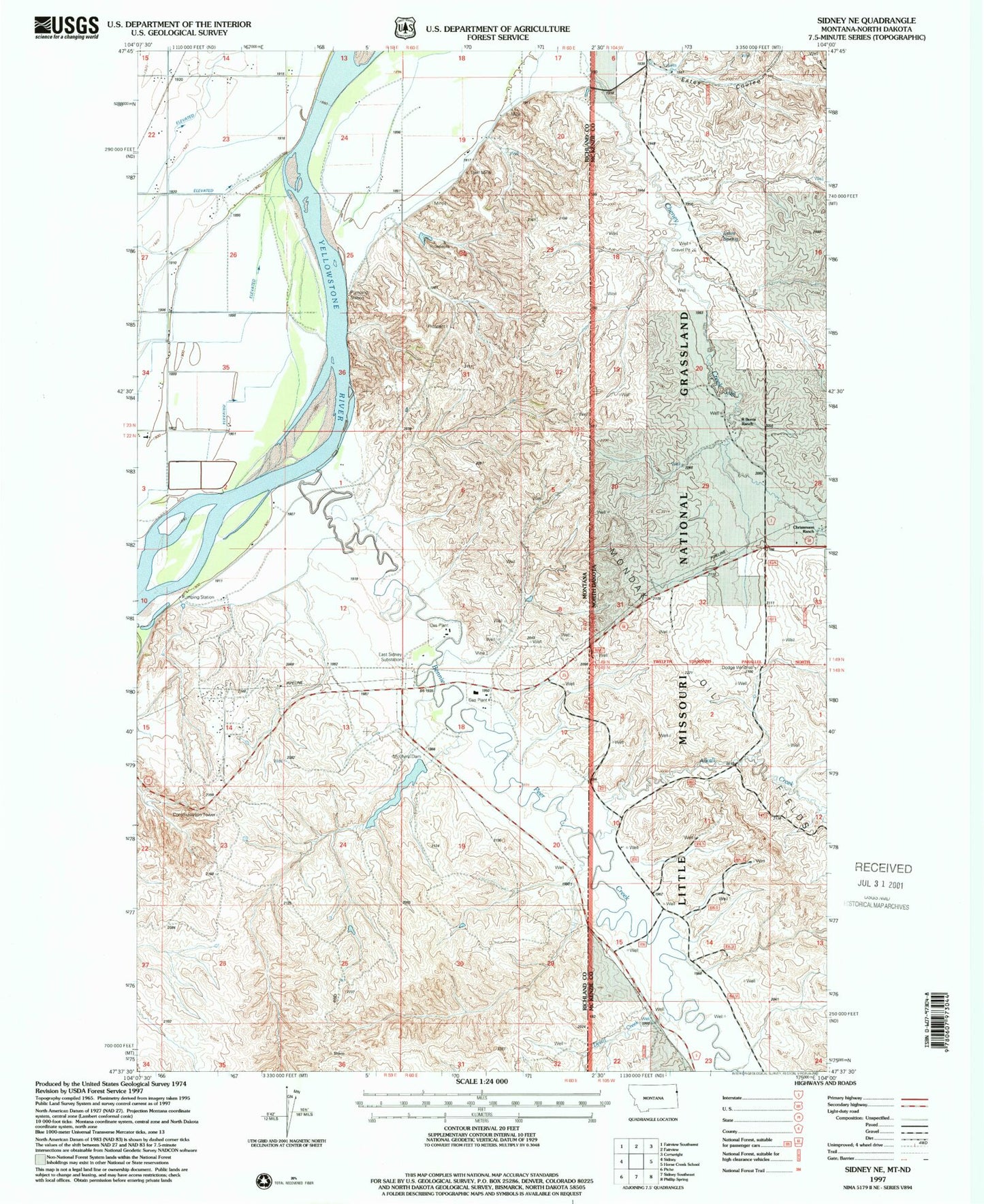
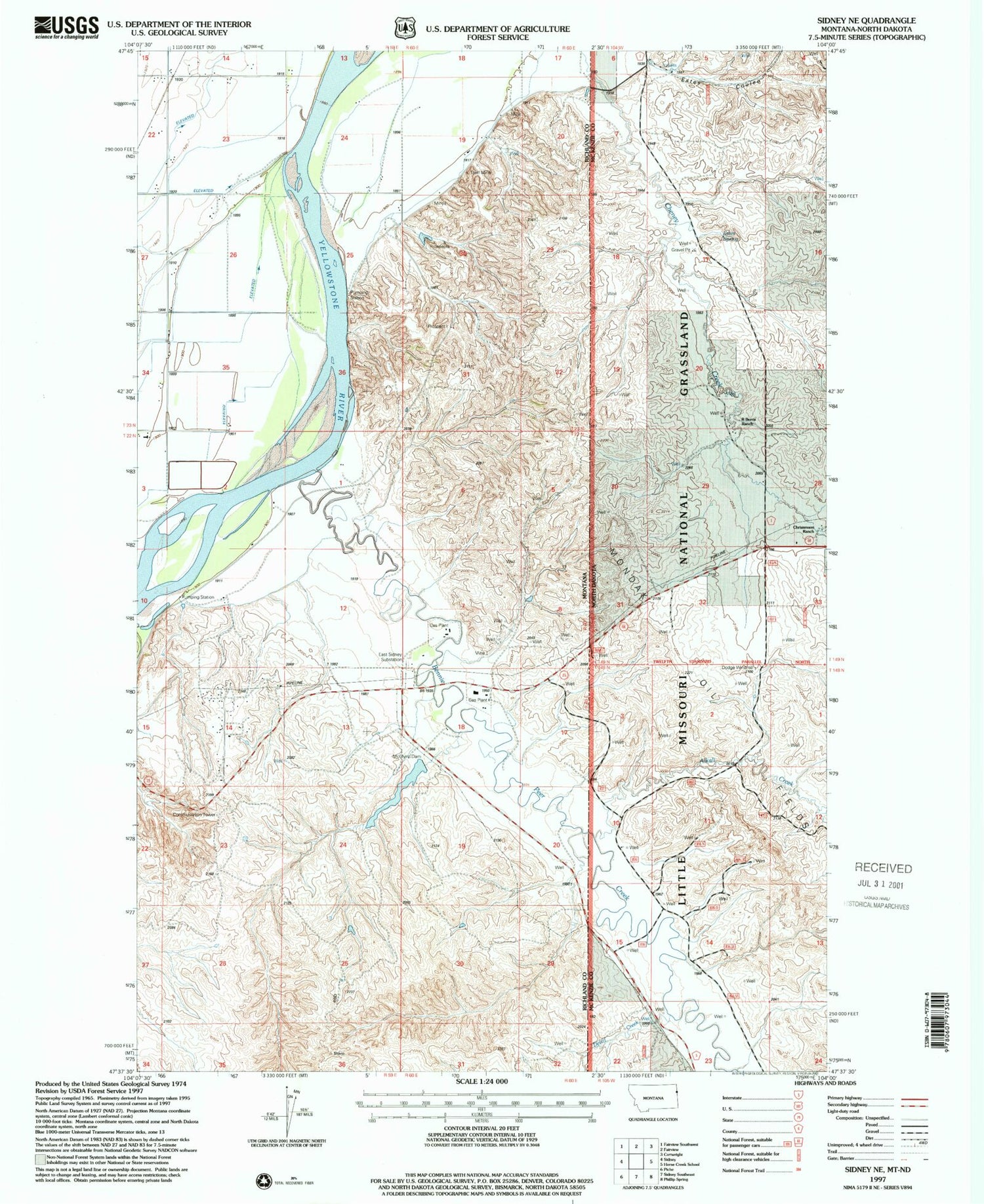
Classic USGS Sidney NE Montana 7.5'x7.5' Topo Map
Couldn't load pickup availability
Historical USGS topographic quad map of Sidney NE in the states of Montana, North Dakota. Map scale may vary for some years, but is generally around 1:24,000. Print size is approximately 24" x 27"
This quadrangle is in the following counties: McKenzie, Richland.
The map contains contour lines, roads, rivers, towns, and lakes. Printed on high-quality waterproof paper with UV fade-resistant inks, and shipped rolled.
Contains the following named places: 22N59E02DA__01 Well, 22N59E03AA__01 Well, 22N59E03AA__02 Well, 22N59E11CD__01 Well, 22N59E11DDCB01 Well, 22N59E13CCBB01 Well, 22N59E14BABD01 Well, 22N59E14CB__01 Well, 22N59E24CBBD01 Well, 22N60E07CC__01 Well, 22N60E07CCDB01 Well, 23N52E28AA__01 Well, 23N59E13CC__01 Well, 23N59E13CCCC01 Well, 23N59E14CC__01 Well, 23N59E22DD__01 Well, 23N59E23AD__01 Well, 23N59E23BA__01 Well, 23N59E23DC__01 Well, 23N59E24AA__01 Well, 23N59E24BB__01 Well, 23N59E24DB__01 Well, 23N59E24DC__01 Well, 23N59E25AA__01 Well, 23N59E26AB__01 Well, 23N59E26BA__01 Well, 23N59E26CC__01 Well, 23N59E26DD__01 Well, 23N59E27AA__01 Well, 23N59E35BC__01 Well, 23N59E35DC__01 Well, 23N59E35DC__02 Well, 23N60E18DD__01 Well, 23N60E19AA__01 Well, 23N60E19BC__01 Well, 23N60E19CA__01 Well, 23N60E19CA__02 Well, Alkali Creek, Bennie Peer Creek, C Christenson Ranch, Christensen Dam, Devitt Creek, Dodge Windmill, East Sidney Substation, Estes Coulee, Estes Spring, KSDY-FM (Sidney), Lower Holly Sugar Dam, McGlynn Dam, McGlynn Reservoir, McGlynn Reservoir Dam, R Burns Ranch, Sturgis Dam, Thiel Mine


