MyTopo
Classic USGS Sidney Arkansas 7.5'x7.5' Topo Map
Couldn't load pickup availability
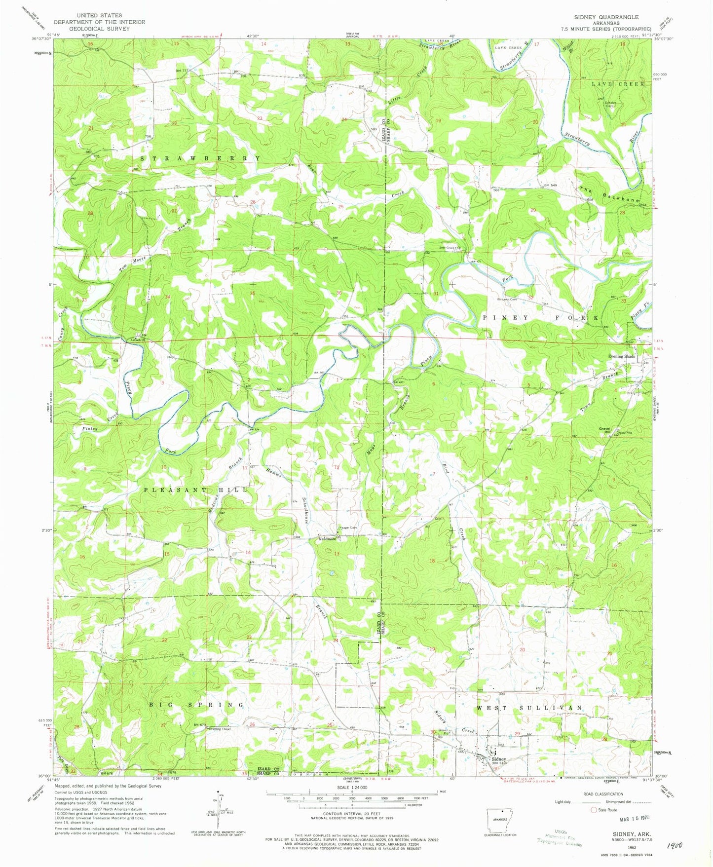
Historical USGS topographic quad map of Sidney in the state of Arkansas. Map scale may vary for some years, but is generally around 1:24,000. Print size is approximately 24" x 27"
This quadrangle is in the following counties: Izard, Sharp.
The map contains contour lines, roads, rivers, towns, and lakes. Printed on high-quality waterproof paper with UV fade-resistant inks, and shipped rolled.
Contains the following named places: Antioch Church, Bear Creek, Bear Creek United Methodist Church, Bird Creek, Caney Creek, Catfish Lake, Catfish Lake Dam, Draytons Chapel, Finley Creek, Gravel Hill, Hamms Schoolhouse Branch, Little Creek, Mays Branch, Mudtown Branch, Needmore, Schales Cemetery, Sidney, Sidney Fire Department, Sidney Post Office, Tom Moore Branch, Town of Sidney, Township of Big Spring, Township of Piney Fork, Township of Strawberry, Wildcat Branch, Williams Cemetery, Yeager Cemetery, ZIP Code: 72577