MyTopo
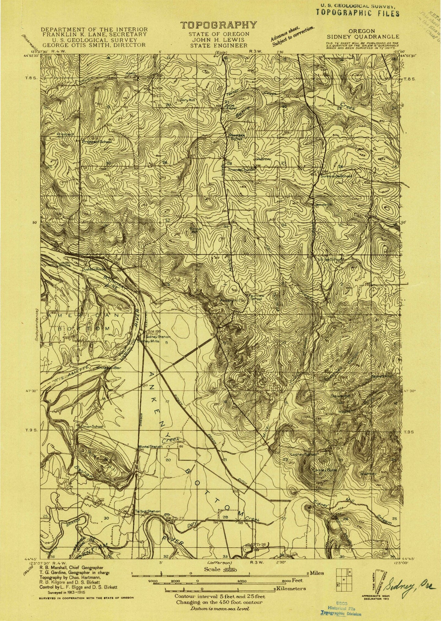
Classic USGS Sidney Oregon 7.5'x7.5' Topo Map
Couldn't load pickup availability
Historical USGS topographic quad map of Sidney in the state of Oregon. Map scale may vary for some years, but is generally around 1:24,000. Print size is approximately 24" x 27"
This quadrangle is in the following counties: Linn, Marion, Polk.
The map contains contour lines, roads, rivers, towns, and lakes. Printed on high-quality waterproof paper with UV fade-resistant inks, and shipped rolled.
Contains the following named places: Abiqua Academy, American Bottom, Ankeny Bottom, Ankeny Hill, Ankeny National Wildlife Refuge, Art Brandt Airport, Barnett Knoll, Bashaw Creek, Battle Creek Country Club, Bunker Hill, Bureau of Land Management Northwest Oregon District Office, Camp Crestwood, Cannon Farm, Chehulpum Creek, Cherriots Sunnyside / Turner Interchange Park and Ride, Church on the Hill, Cole Island, Cox Cemetery, Creswell Canyon, Crossler Middle School, Crystal Spring, Davidson Field, Dencer, Dencer Post Office, Elkins Helipad, Eoff Reservoir, Fordmill, Gilmour Ag Air, Jackson Hill, Jory Cemetery, Jory Creek, Jory Hill, Joryville County Park, Judson Landing, Judson Rocks, Keesneck Lake, KVDO-TV, Lee Elementary School, Lee School Park, Lightner Post Office, Looney Butte, Looney Cemetery, Miller Creek, Morlan Airfield, Neil Creek, Ornoname 10 Dam, Porter Slough, Powell Creek, Prospect Hill, Rees City Park, Reforestation Services Helipad, Relf, River Bend Dam, River Bend Reservoir Number Two, Roby, Roby Hill, Rock Creek, Rosedale, Rosedale Elementary School, Rosedale Friends Cemetery, Rosedale Post Office, Salem Hills, Sidney, Sidney Post Office, Sidney Power Ditch, South Hill Helipad, Spring Lake Dam, Spring Reservoir, Steiwer Hill, Sunnyside, Talbot, Talbot Post Office, Twin Hills, Wagoner Airport, Waln Creek, Weaver Gulch, Whiteman Bar, Wild Fawn Park, Wilkerson Creek, Willamette Christian School, Wintel, ZIP Code: 97306


