MyTopo
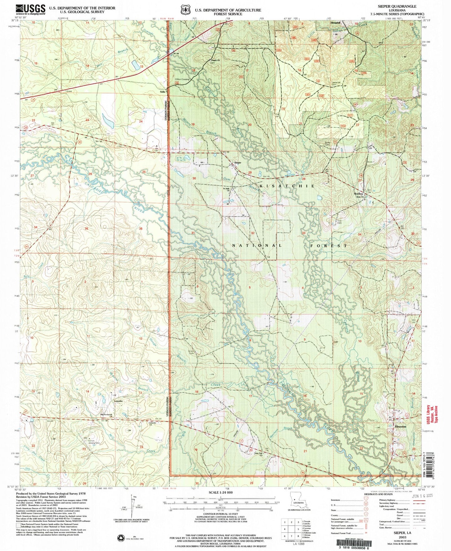
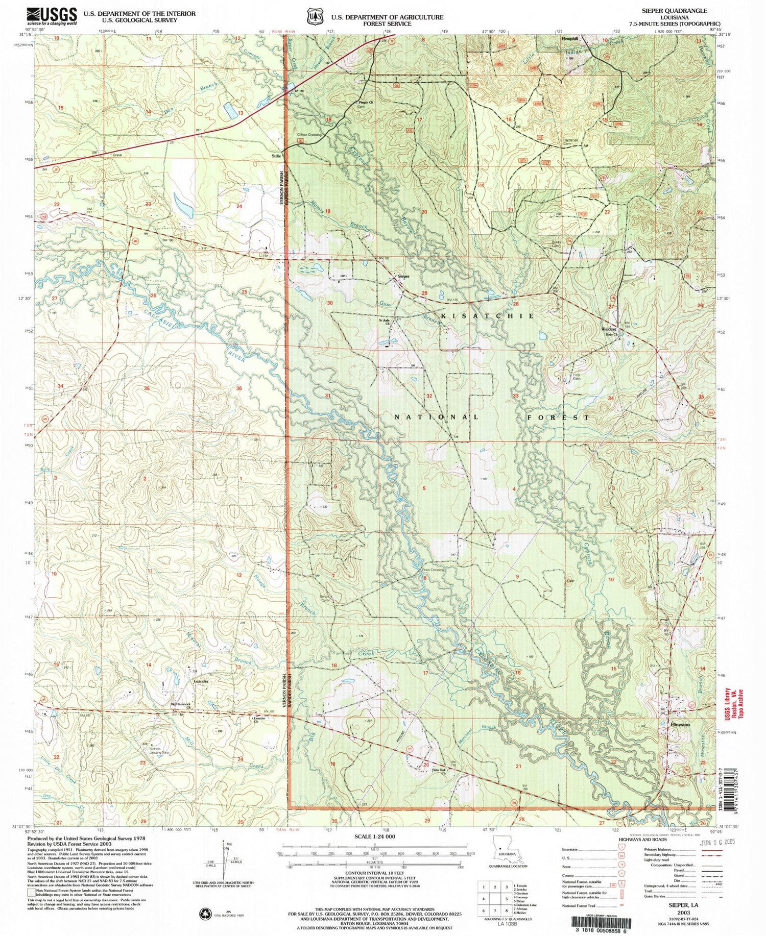
Classic USGS Sieper Louisiana 7.5'x7.5' Topo Map
Couldn't load pickup availability
Historical USGS topographic quad map of Sieper in the state of Louisiana. Map scale may vary for some years, but is generally around 1:24,000. Print size is approximately 24" x 27"
This quadrangle is in the following counties: Rapides, Vernon.
The map contains contour lines, roads, rivers, towns, and lakes. Printed on high-quality waterproof paper with UV fade-resistant inks, and shipped rolled.
Contains the following named places: Big Creek, Big Hammock Church, Big Hammock School, Burns Cemetery, Clifton Crossing, Comrade Creek, Cypress Bayou, Dan Branch, Dixie Baptist Church, Dixie School, Gum Branch, Hardshell Cemetery, Hemphill, Hineston, Hineston Branch, Hineston Post Office, Holt Cemetery, Houge Branch, Howell Branch, Leander, Leander Church, Leander Post Office, Little Dry Creek, Majors Branch, Merchant Branch, Mill Creek, Mineral Branch, Muse, Nichols Landing Strip, Pisgah Church Cemetery, Price Crossing, Roland Airport, Saint Jude Church, Sieper, Sieper Creek, Sieper Post Office, Smith Cemetery, Stille, Twin Oak Church, Walding, ZIP Code: 71472


