MyTopo
Classic USGS Sierra Bonita Ranch Arizona 7.5'x7.5' Topo Map
Regular price
$16.95
Regular price
Sale price
$16.95
Unit price
per
Couldn't load pickup availability
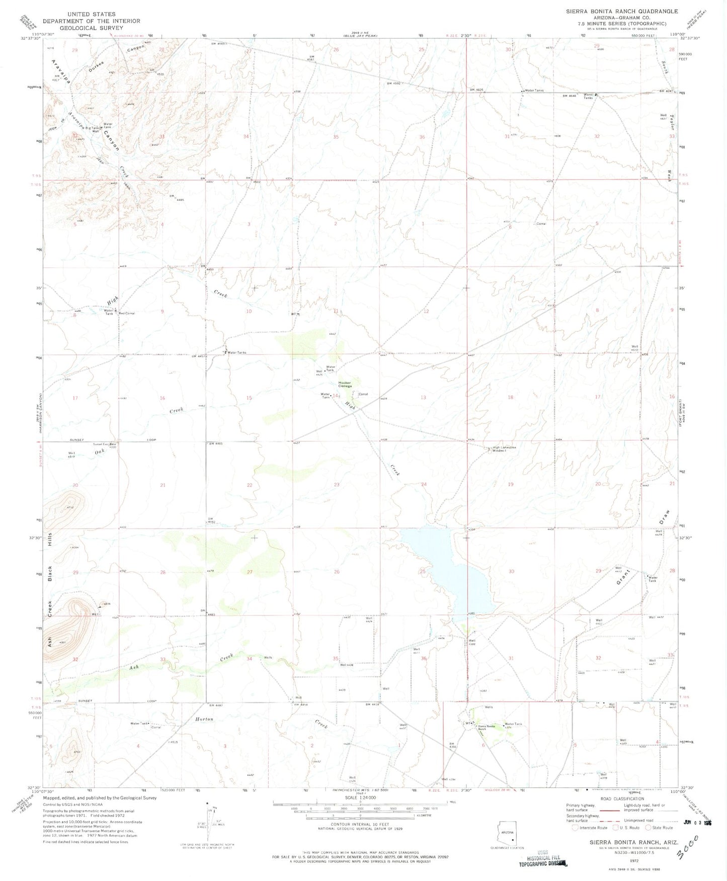
Historical USGS topographic quad map of Sierra Bonita Ranch in the state of Arizona. Map scale may vary for some years, but is generally around 1:24,000. Print size is approximately 24" x 27"
This quadrangle is in the following counties: Graham.
The map contains contour lines, roads, rivers, towns, and lakes. Printed on high-quality waterproof paper with UV fade-resistant inks, and shipped rolled.
Contains the following named places: Ash Creek, Big Tank Well, Durkee Canyon, Grant Draw, Harrison Creek, High Creek, High Lonesome Windmill, Hooker Cienega, Horton Creek, Oak Creek, Red Corral, Sierra Bonita Ranch, Standsbury Ranch, Sulphur Springs Valley