MyTopo
Classic USGS Signal Hill Wyoming 7.5'x7.5' Topo Map
Regular price
$16.95
Regular price
Sale price
$16.95
Unit price
per
Couldn't load pickup availability
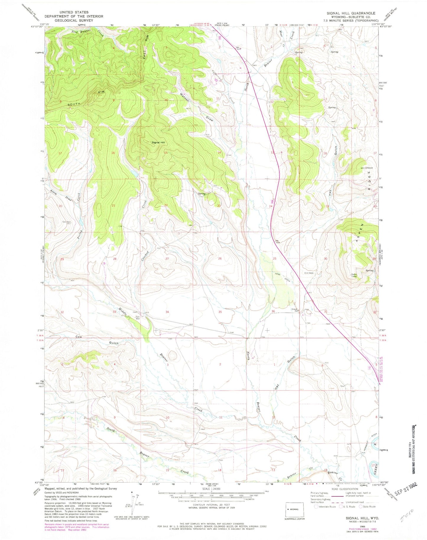
Historical USGS topographic quad map of Signal Hill in the state of Wyoming. Map scale may vary for some years, but is generally around 1:24,000. Print size is approximately 24" x 27"
This quadrangle is in the following counties: Sublette.
The map contains contour lines, roads, rivers, towns, and lakes. Printed on high-quality waterproof paper with UV fade-resistant inks, and shipped rolled.
Contains the following named places: Annie Draw, Aspen Ridge, Cow Gulch, Crooked Creek, Culbertson Creek, Franz Pit Mine, Hay Gulch, Jakes Pit Mine, Lena Ditch, Lot Two Pit Mine, Middle Beaver Creek, Miner Creek, North Beaver Creek, Pixley Creek, Quarter Corner Pit Mine, Signal Hill, South Beaver Creek, Watson Draw