MyTopo
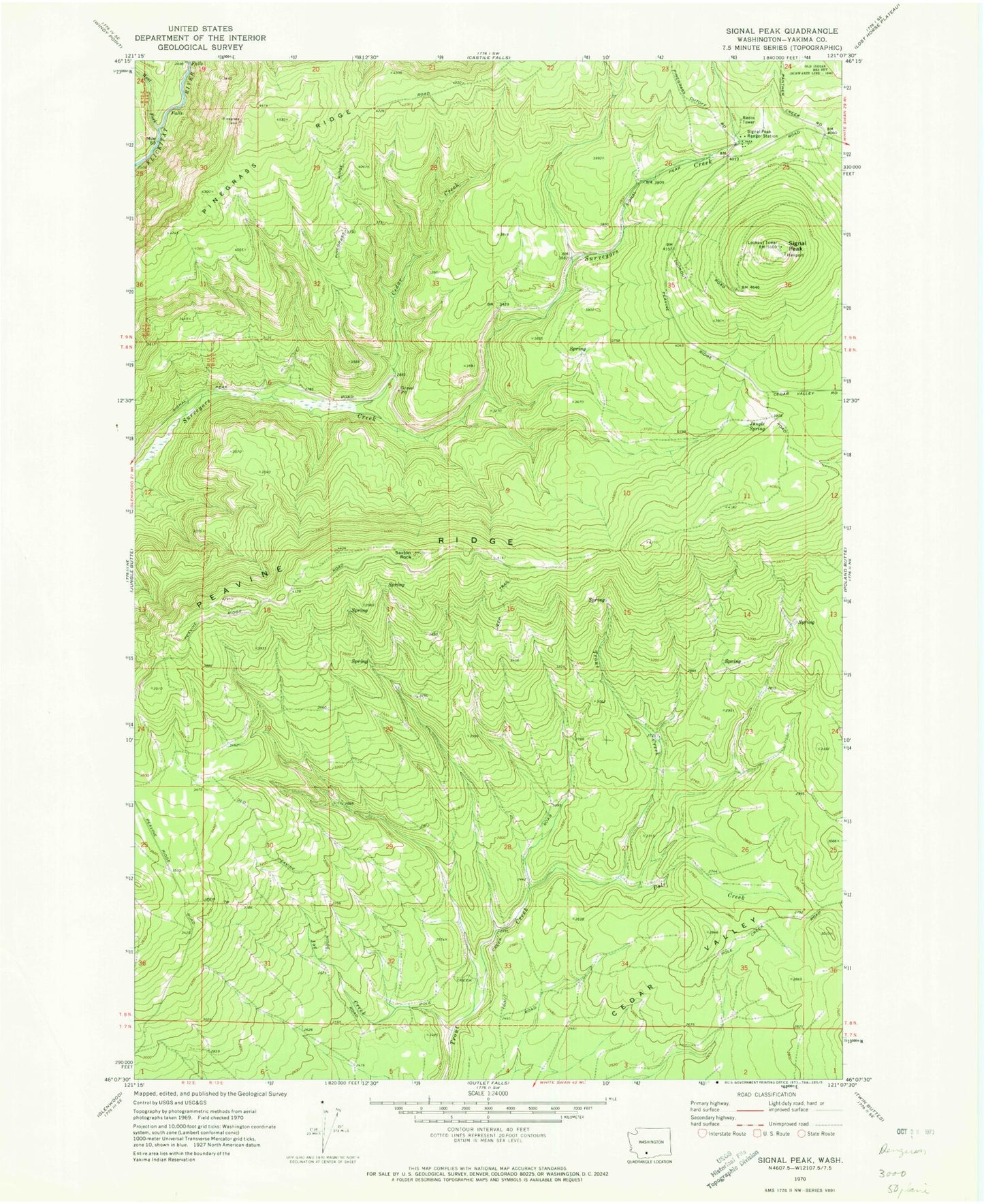
Classic USGS Signal Peak Washington 7.5'x7.5' Topo Map
Regular price
$16.95
Regular price
Sale price
$16.95
Unit price
per
Couldn't load pickup availability
Historical USGS topographic quad map of Signal Peak in the state of Washington. Map scale may vary for some years, but is generally around 1:24,000. Print size is approximately 24" x 27"
This quadrangle is in the following counties: Yakima.
The map contains contour lines, roads, rivers, towns, and lakes. Printed on high-quality waterproof paper with UV fade-resistant inks, and shipped rolled.
Contains the following named places: Cedar Creek, Joe Creek, Jungle Spring, Peavine Ridge, Pinegrass Ridge, Pole Creek, Saxton Rock, Signal Peak, Signal Peak Lookout Heliport, Signal Peak Ranger Station, West Fork Klickitat River