MyTopo
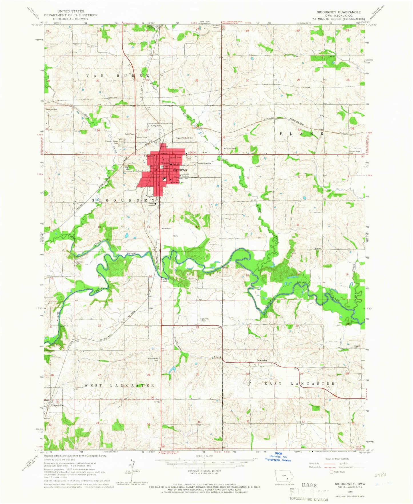
Classic USGS Sigourney Iowa 7.5'x7.5' Topo Map
Couldn't load pickup availability
Historical USGS topographic quad map of Sigourney in the state of Iowa. Map scale may vary for some years, but is generally around 1:24,000. Print size is approximately 24" x 27"
This quadrangle is in the following counties: Keokuk.
The map contains contour lines, roads, rivers, towns, and lakes. Printed on high-quality waterproof paper with UV fade-resistant inks, and shipped rolled.
Contains the following named places: Achilles Rogers Historical Marker, Bridge Creek, Cedar Creek, Checauqua River Access, City of Hayesville, City of Sigourney, Clark Cemetery, Conner Cemetery, County Home Cemetery, Doggett Cemetery, Dumonts' Museum of Dreamworld Collectibles, East Cemetery, First Baptist Church, First Court In Iowa Historical Marker, German Creek, Hayesville, Hayesville Post Office, Hope Lutheran Church, Kapple Dental Associates Center, Keokuk County, Keokuk County Courthouse, Keokuk County Farm, Keokuk County Health Medical Center, Keokuk County Medical Clinic, Keokuk County Sheriff's Office, Knox Cemetery, Lancaster, Lancaster Christian Church, Lancaster Post Office, Lanscaster, Legion Park, Manor House Care Center, New Directions Learning Center, Pennington Cemetery, Pleasant Grove Cemetery, Rock Creek, Saint Marys Church, Saint Marys School, Sigourney, Sigourney Care Center, Sigourney Christian Church, Sigourney Church of Christ, Sigourney City Hall, Sigourney East Cemetery, Sigourney Elementary School, Sigourney Fire and Rescue, Sigourney Golf Club, Sigourney Iowa Airport, Sigourney Junior - Senior High School, Sigourney Medical Clinic, Sigourney Post Office, Sigourney Presbyterian Church, Sigourney Public Library, Spanish-American War Veterans Historical Marker, Stoermer Cemetery, Sunny Ridge Cemetery, Township of East Lancaster, Township of Sigourney, Township of West Lancaster, Troublesome Creek, Trueblood Cemetery, United Methodist Church, Walton Cemetery, White Oak School, ZIP Code: 52591


