MyTopo
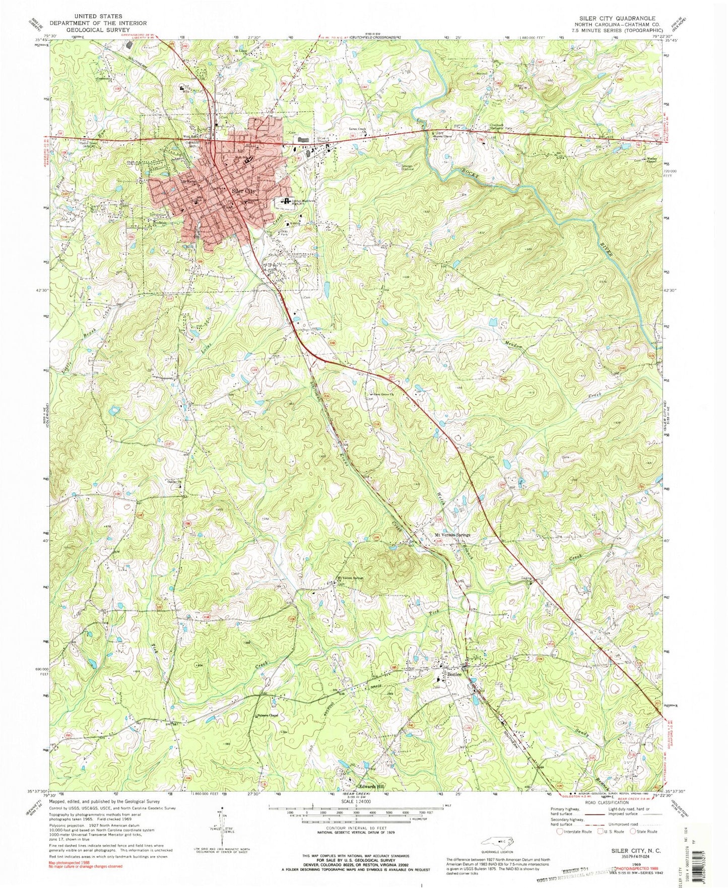
Classic USGS Siler City North Carolina 7.5'x7.5' Topo Map
Couldn't load pickup availability
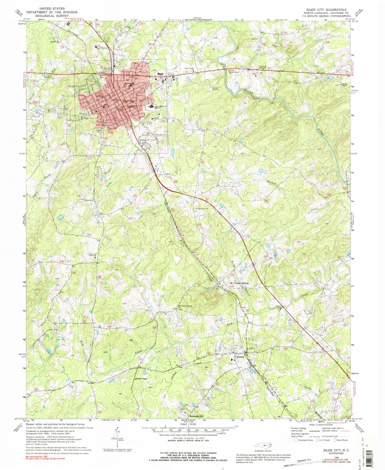
Historical USGS topographic quad map of Siler City in the state of North Carolina. Typical map scale is 1:24,000, but may vary for certain years, if available. Print size: 24" x 27"
This quadrangle is in the following counties: Chatham.
The map contains contour lines, roads, rivers, towns, and lakes. Printed on high-quality waterproof paper with UV fade-resistant inks, and shipped rolled.
Contains the following named places: Braxton School, Bray Park, Brookdale Church, Chatham Memorial Park, Edwards Hill, Evans Creek, Gees Grove Church, Harris Grove Church, Jordan-Matthews High School, Loves Creek, Loves Creek Church, Mount Vernon Springs Church, Oakley Church, Oakwood Cemetery, Palmers Chapel, Saint Lukes Church, Saint Marks Church, Siler City, Siler City Elementary School, Varnell Creek, Welch Branch, Wesley Chapel, West End Church, Carter Lake Number One, Carter Lake Dam Number One, Siler City Country Club Pond, Siler City Country Club Pond Dam, Hackneys Mill Pond, Hackneys Millpond Dam, Bonlee Elementary School, Chatham Middle School, Chatham Square, Park Shopping Center, WNCA-AM (Siler City), Bonlee, Mount Vernon Springs, Township of Matthews, Town of Siler City, Black Tulip Farms, Siler City Fire Department Station 9, Bonlee Fire Department Station 6, Brooks Field, Chatham Hospital, Chatham County Rescue Squad, Siler City Police Department, Siler City Post Office, Bonlee Post Office


