

MyTopo
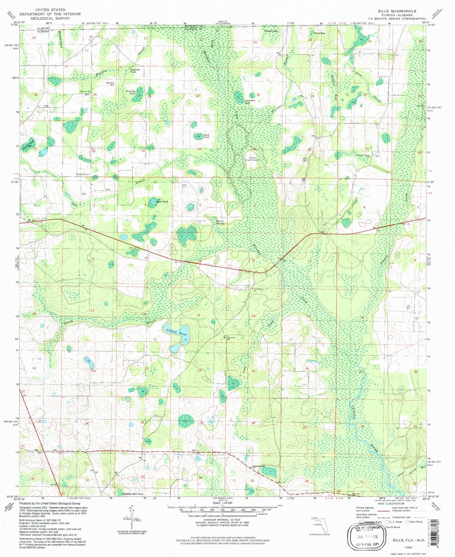
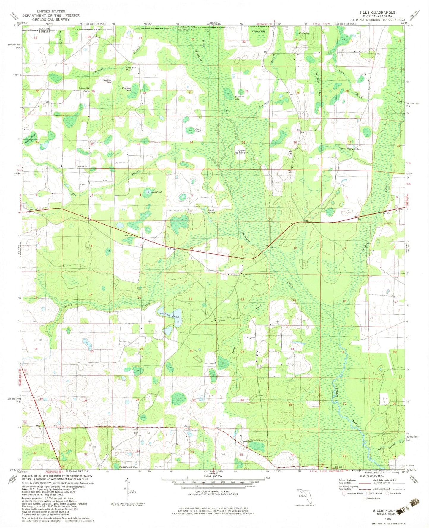
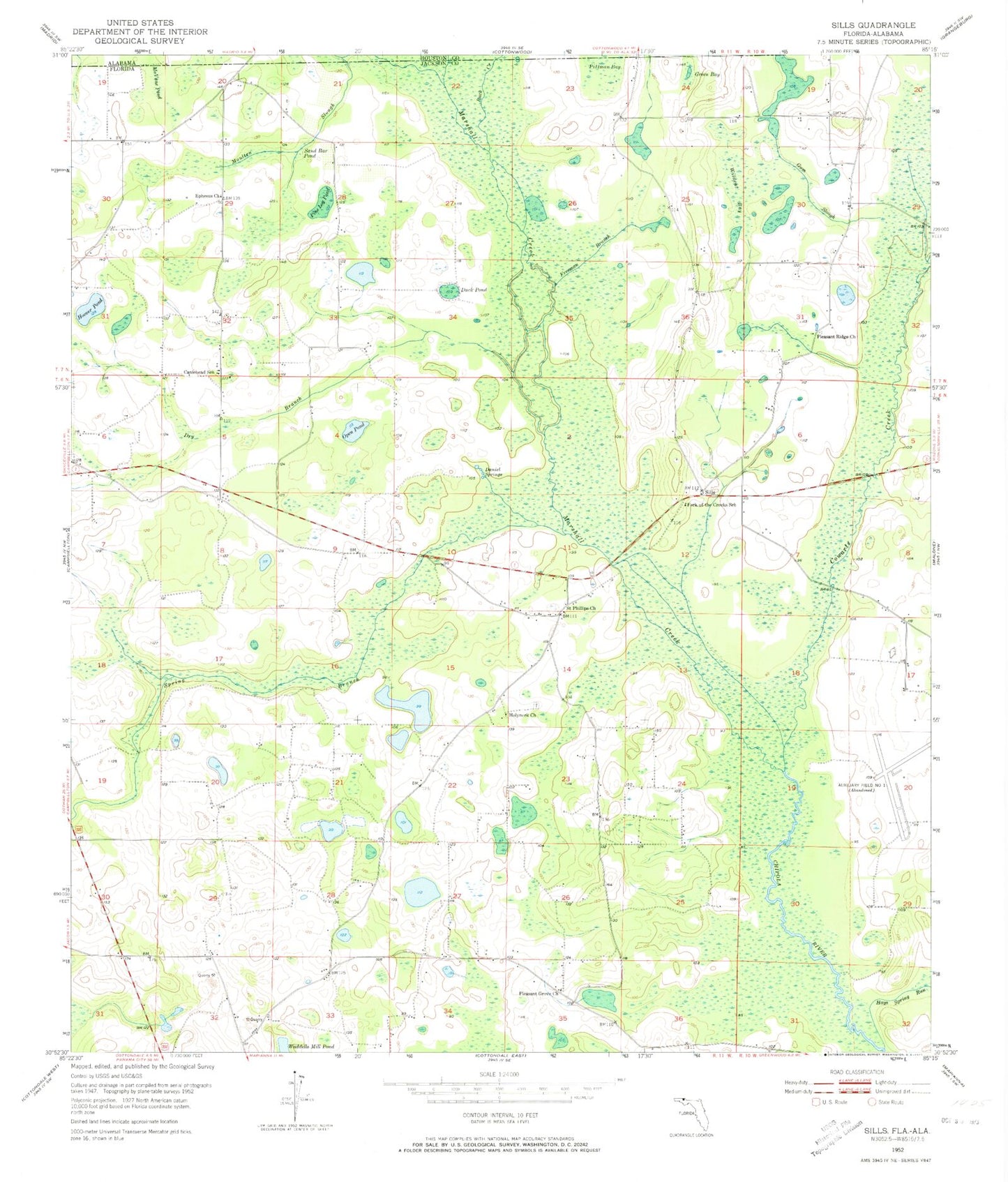
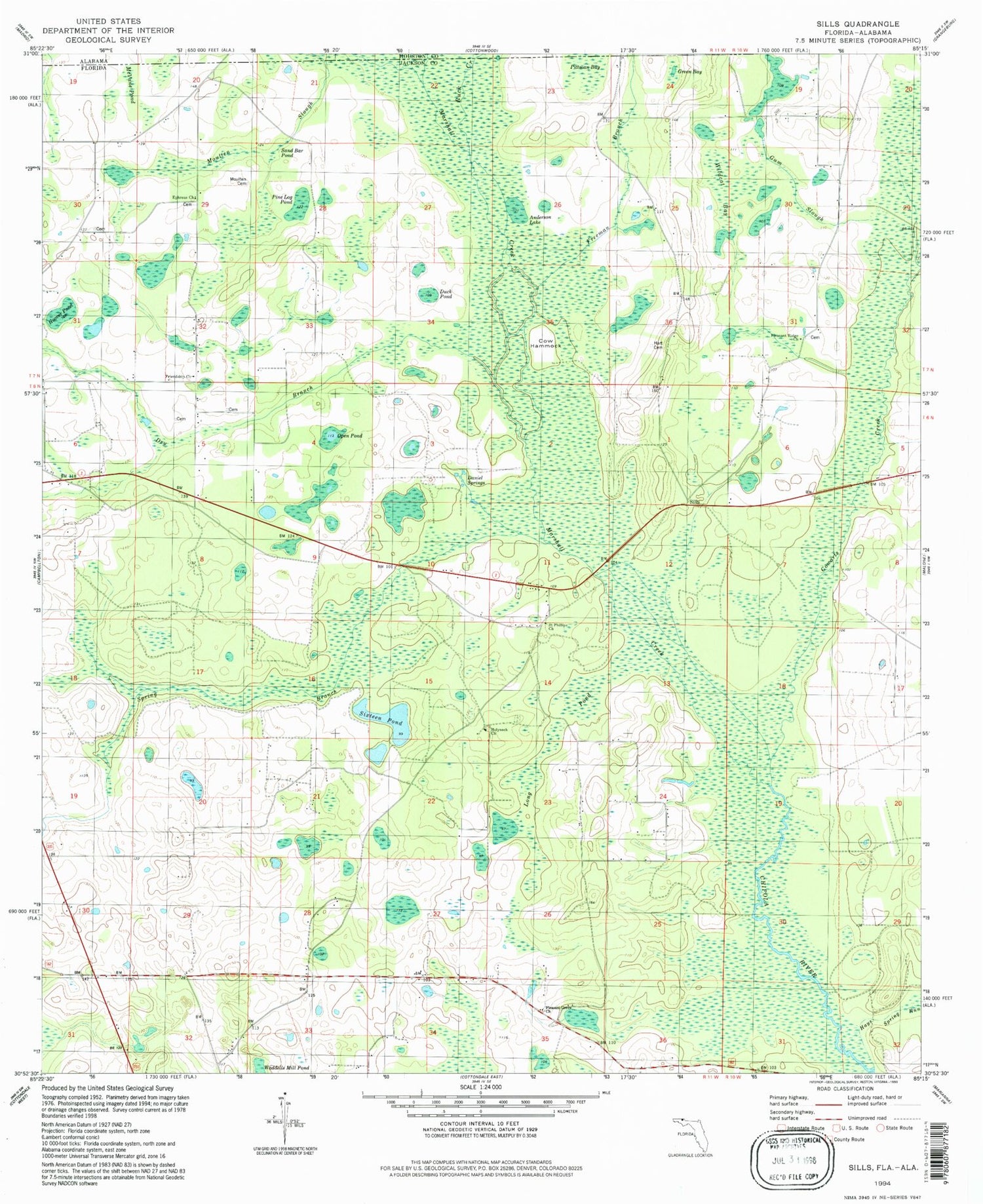
Classic USGS Sills Florida 7.5'x7.5' Topo Map
Couldn't load pickup availability
Historical USGS topographic quad map of Sills in the states of Florida, Alabama. Map scale may vary for some years, but is generally around 1:24,000. Print size is approximately 24" x 27"
This quadrangle is in the following counties: Houston, Jackson.
The map contains contour lines, roads, rivers, towns, and lakes. Printed on high-quality waterproof paper with UV fade-resistant inks, and shipped rolled.
Contains the following named places: Buck Creek, Campbellton Division, Caniehead School, Cowarts Creek, Daniel Springs, Dry Branch, Duck Pond, Ephesus Church, Fork of the Creeks School, Freeman Branch, Friendship Cemetery, Green Bay, Gum Slough, Hart Airport, Hays Spring Run, Holyneck Church, Hoover Pond, Marshall Creek, McVane Pond, Moulten Slough Creek, Oktahatko, Open Pond, Pine Log Pond, Pleasant Grove Church, Pleasant Ridge Church, Saint Phillips Church, Sills, Spring Branch, Wildcat Bay, ZIP Code: 32426