MyTopo
Classic USGS Silsbee Texas 7.5'x7.5' Topo Map
Couldn't load pickup availability
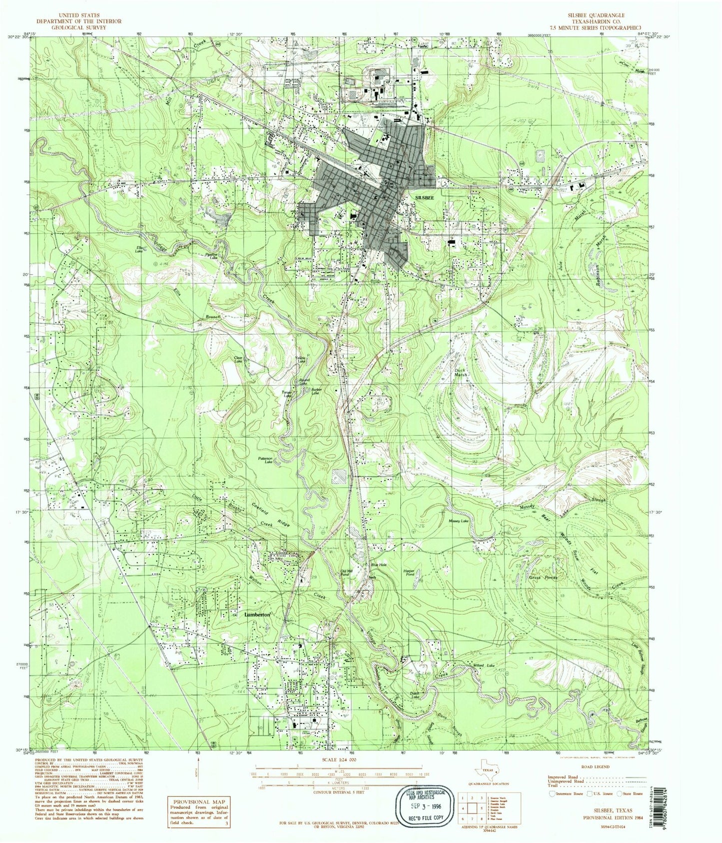
Historical USGS topographic quad map of Silsbee in the state of Texas. Typical map scale is 1:24,000, but may vary for certain years, if available. Print size: 24" x 27"
This quadrangle is in the following counties: Hardin.
The map contains contour lines, roads, rivers, towns, and lakes. Printed on high-quality waterproof paper with UV fade-resistant inks, and shipped rolled.
Contains the following named places: Bear Woods Creek, Bear Woods Flat, Blue Hole, Ellis Branch, Cane Slough, Chance School, Clear Lake, Fletcher, Grass Ponds, Harper Pond, Hook Cemetery, Knupple Cemetery, Lumberton, Massey Lake, Massey Lake Slough, Old Mill Pond, Patterson Lake, Peaceful Rest Cemetery, Rest Haven Cemetery, Sandy Slough, Silsbee, Village Slough, Walton Cemetery, Walton Creek, Willard Lake, Yellow Lake, Mill Creek, Seth, Round Lake, Robinson Marsh, Seth, KKAS-AM (Silsbee), KWDX-FM (Silsbee), Big Thicket National Preserve, Meadows Springs, John H Kirby Elementary School, Laura Reeves Elementary School, Lumberton Middle School, Lumberton Primary School, Read - Turrentine Elementary School, Silsbee High School, Silsbee Middle School, Hardin County Arts and Educational Foundation Center, Woodrow Baptist Church, Saint Mark Catholic Church, Church of God in Christ, House of Prayer Church, Bible Baptist Church, Calvary Missionary Baptist Church, First Baptist Church, Saint Beulah Baptist Church, Saint Johns Missionary Baptist Church, Saint Paul Baptist Church, Raider Stadium, Village Creek State Park, Village Creek State Park Trail, Roy E Larsen Sandyland Sanctuary Trail, Silsbee Volunteer Fire Department, Silsbee Fire Marshal's Office, Silsbee Police Department, City of Lumberton, City of Silsbee, Kountze Volunteer Fire Department Station 3, Priority One Emergency Medical Service, Silsbee Post Office, Lumberton Police Department, Lumberton City Hall, Silsbee City Hall


