MyTopo
Classic USGS Silva Flat Reservoir California 7.5'x7.5' Topo Map
Couldn't load pickup availability
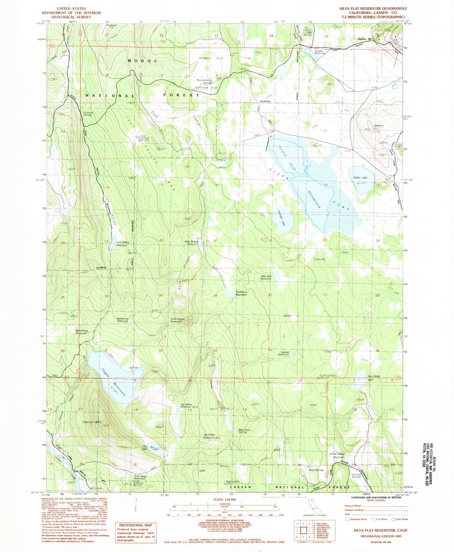
Historical USGS topographic quad map of Silva Flat Reservoir in the state of California. Map scale may vary for some years, but is generally around 1:24,000. Print size is approximately 24" x 27"
This quadrangle is in the following counties: Lassen.
The map contains contour lines, roads, rivers, towns, and lakes. Printed on high-quality waterproof paper with UV fade-resistant inks, and shipped rolled.
Contains the following named places: Antelope Flat, Bald Ridges, Bald Ridges Reservoir, Buckhorn Waterhole, Bunselmeier Spring, Corral Hollow, Corral Valley, Corral Valley Reservoir, Cow Lake, Coyote Flat 233 Dam, Coyote Reservoir, Deadhorse Reservoir, Dillion Lake, Dobe Flat Reservoir, Hayden Hill, Hayden Hill Cemetery, Indian Mountain, Indian Reservoir, Juniper Lake, Little Coyote Reservoir, Log Cabin Reservoir Number 1, Log Cabin Reservoir Number 2, Lost Valley, Lost Valley Mountain, Lost Valley Reservoir, Mud Spring, Negro Mountain, Ollie Rivis Spring, Sheep Valley, Silva Flat, Silva Flat 232 Dam, Silva Flat Reservoir, Snider Waterhole, Spaulding 1246 Dam, Spaulding Reservoir, Summers Hill, Summit Spring, Tire Body Reservoir, Van Sickle Lake