MyTopo
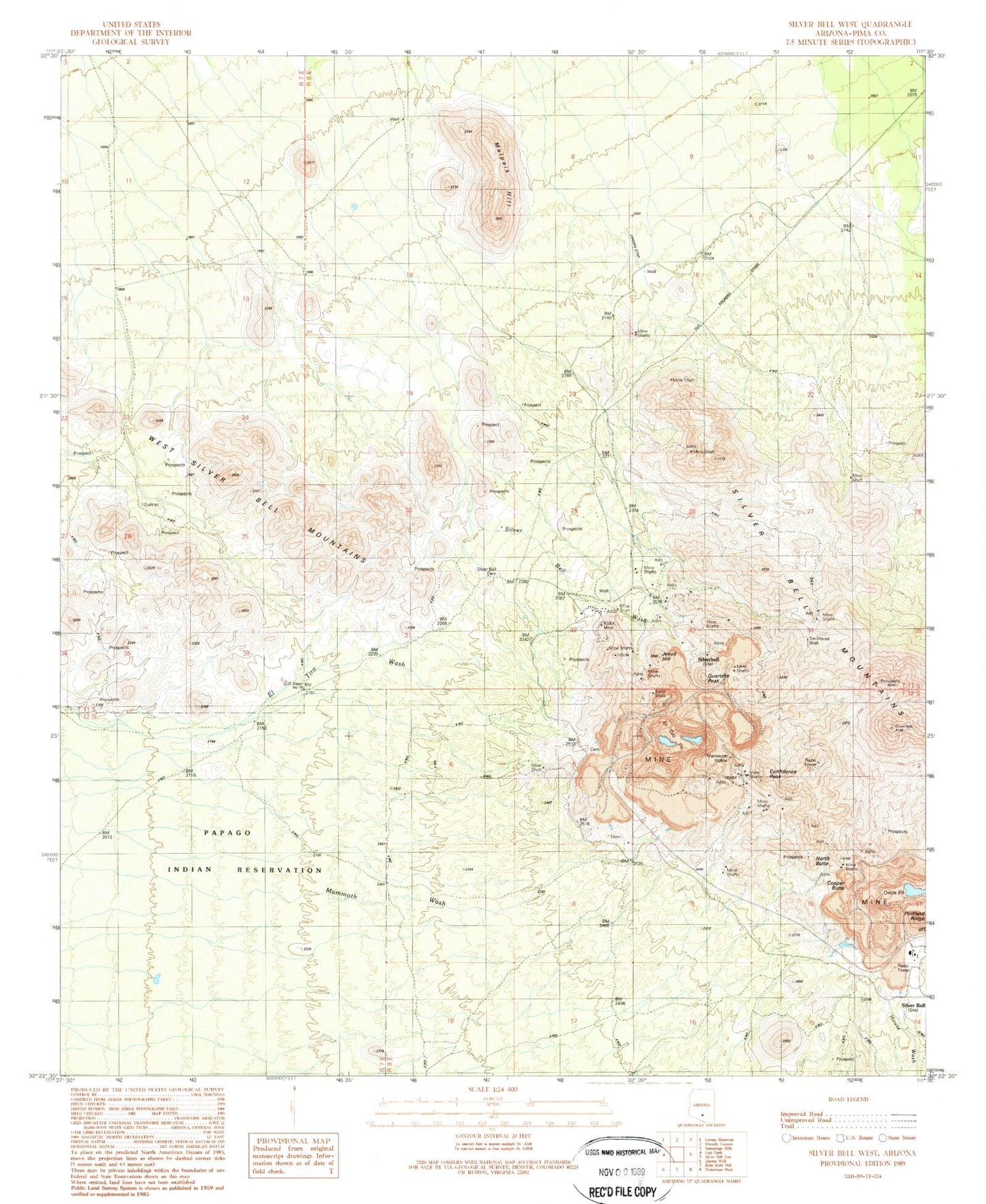
Classic USGS Silver Bell West Arizona 7.5'x7.5' Topo Map
Couldn't load pickup availability
Historical USGS topographic quad map of Silver Bell West in the state of Arizona. Typical map scale is 1:24,000, but may vary for certain years, if available. Print size: 24" x 27"
This quadrangle is in the following counties: Pima.
The map contains contour lines, roads, rivers, towns, and lakes. Printed on high-quality waterproof paper with UV fade-resistant inks, and shipped rolled.
Contains the following named places: BSK Mine, Confidence Peak, Copper Butte, Daisy Shaft, El Tiro Pit, Jesuit Hill, Kurtz Shaft, Malpais Hill, Mammoth Incline, North Butte, Oxide Pit, Quartzite Peak, Silver Bell, Silver Bell Cemetery, Silver Bell Wash, Tin House Well, Union Hill, Wild Hog Mountain, Silverbell, Silver Bell Post Office, Saguaro (historical)


