MyTopo
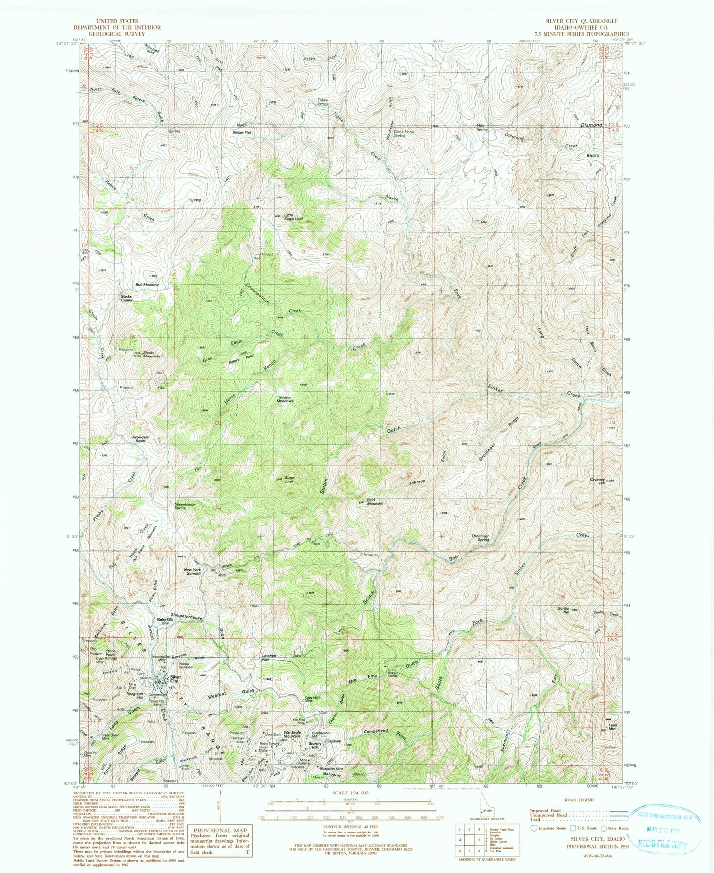
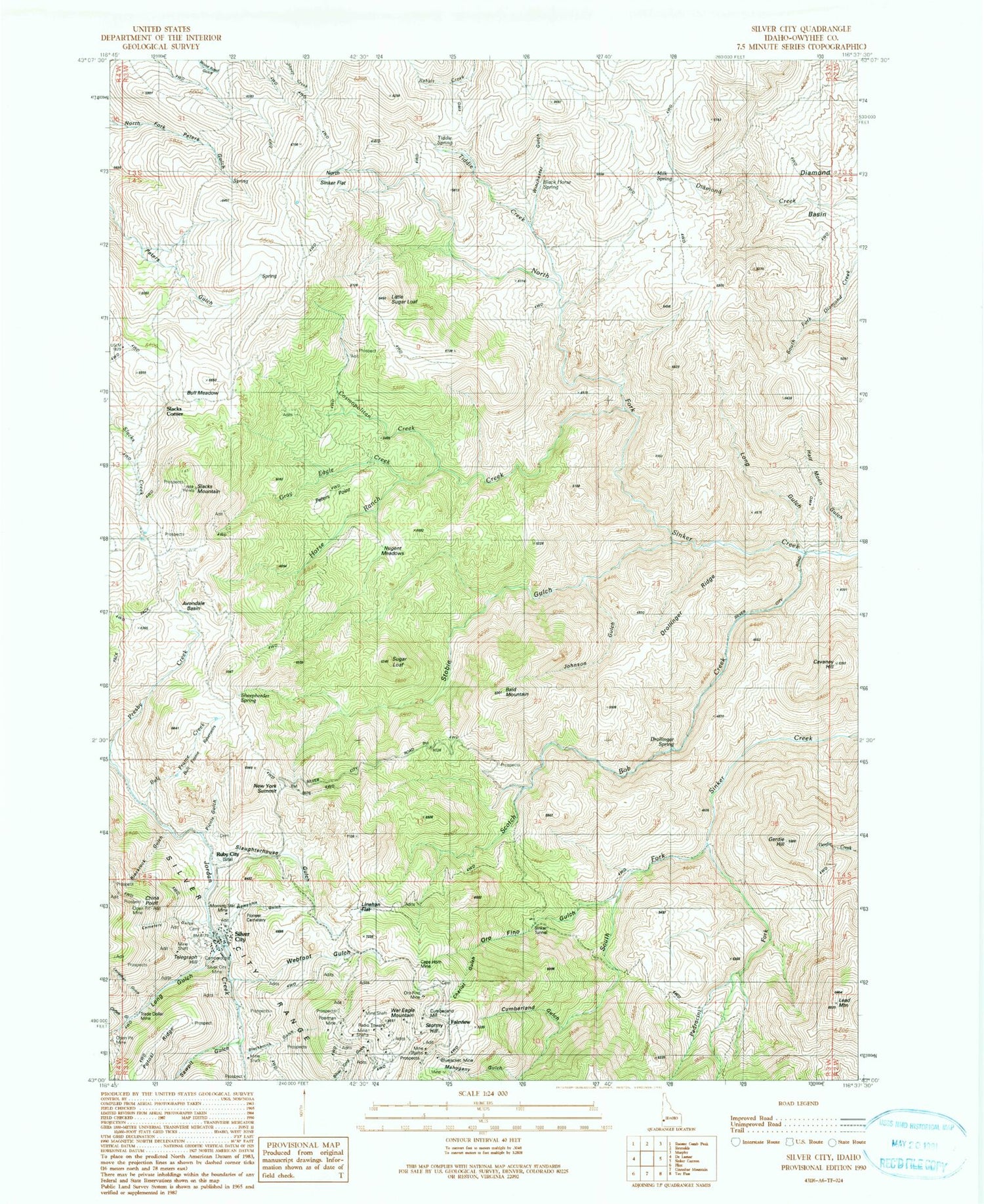
Classic USGS Silver City Idaho 7.5'x7.5' Topo Map
Couldn't load pickup availability
Historical USGS topographic quad map of Silver City in the state of Idaho. Typical map scale is 1:24,000, but may vary for certain years, if available. Print size: 24" x 27"
This quadrangle is in the following counties: Owyhee.
The map contains contour lines, roads, rivers, towns, and lakes. Printed on high-quality waterproof paper with UV fade-resistant inks, and shipped rolled.
Contains the following named places: Avondale Basin, Black Horse Spring, Blackrock Gulch, Blacksmith Gulch, Bluejacket Mine, Bull Frame Creek, Bull Frame Reservoirs, Bull Meadow, Cape Horn Mine, Cemetery Gulch, Chariot Gulch, Cosmopolitan Creek, Cumberland Gulch, French Gulch, Ghost Ranch, Gray Eagle Creek, Horse Ranch Creek, Leviathan Gulch, Linehan Flat, Mahogany Gulch, Morning Star Mine, New York Summit, Newsome Gulch, North Sinker Flat, Oro Fino Gulch, Oro Fino Mine, Pioneer Cemetery, Placer Mine, Poorman Mine, Sawpit Gulch, Scotch Bob Creek, Sinker Tunnel, Slacks Mountain, Slaughterhouse Gulch, Tiddie Creek, Tiddie Spring, Trade Dollar Mine, War Eagle Mountain, Webfoot Gulch, West Fork Sinker Creek, Winchester Gulch, Drollinger Spring, Milk Spring, Half Moon Gulch, Drollinger Ridge, Peters Point, Nugent Meadows, Johnson Gulch, Cavaney Hill, Bald Mountain, Picnic Gulch, Sheepherder Spring, China Point, Potosi Ridge, Fairview, Ruby City, Lead Mountain, Stobie Gulch, Gertie Gulch, Little Sugar Loaf, Coffee Gulch, Long Gulch, Silver City, Slacks Corner, Telegraph Hill, Stormy Hill, Coffee Gulch, Silver City Mine, Castangetta Halfway House, Cumberland Mill, Sugar Loaf, Gerdie Hill, Silver City Fire and Rescue Station


