MyTopo
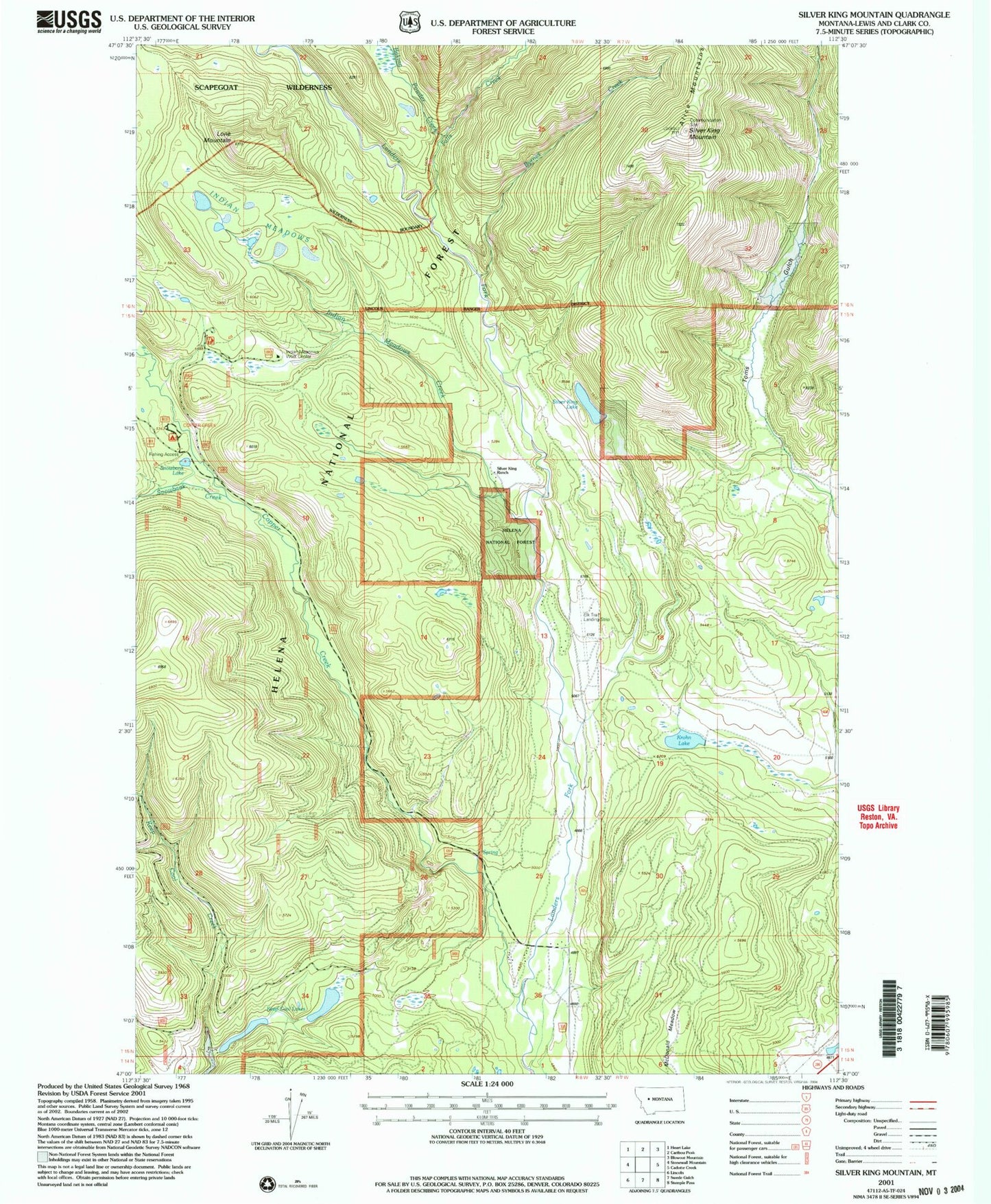
Classic USGS Silver King Mountain Montana 7.5'x7.5' Topo Map
Couldn't load pickup availability
Historical USGS topographic quad map of Silver King Mountain in the state of Montana. Map scale may vary for some years, but is generally around 1:24,000. Print size is approximately 24" x 27"
This quadrangle is in the following counties: Lewis and Clark.
The map contains contour lines, roads, rivers, towns, and lakes. Printed on high-quality waterproof paper with UV fade-resistant inks, and shipped rolled.
Contains the following named places: 15N07W16CCC_01 Well, 15N07W21CBB_01 Well, 15N08W04CDAA01 Well, 15N08W13ABCD01 Well, Baking Powder Creek, Byrnes Creek, Copper Creek, Copper Creek Campground, Falls Creek, Indian Meadows, Indian Meadows Creek, Indian Meadows Guard Station, Indian Meadows Livestock Trail Head, Keep Cool Lakes, Krohn Lake, Lone Mountain, Lone Mountain Trail, McDonald Meadow, Nelson Ranch Airport, Silver King Lake, Silver King Mountain, Silver King Ranch, Silver King Trail, Snowbank Creek, Snowbank Lake, Snowbank Lake Sportmans Access, Toms Gulch


