MyTopo
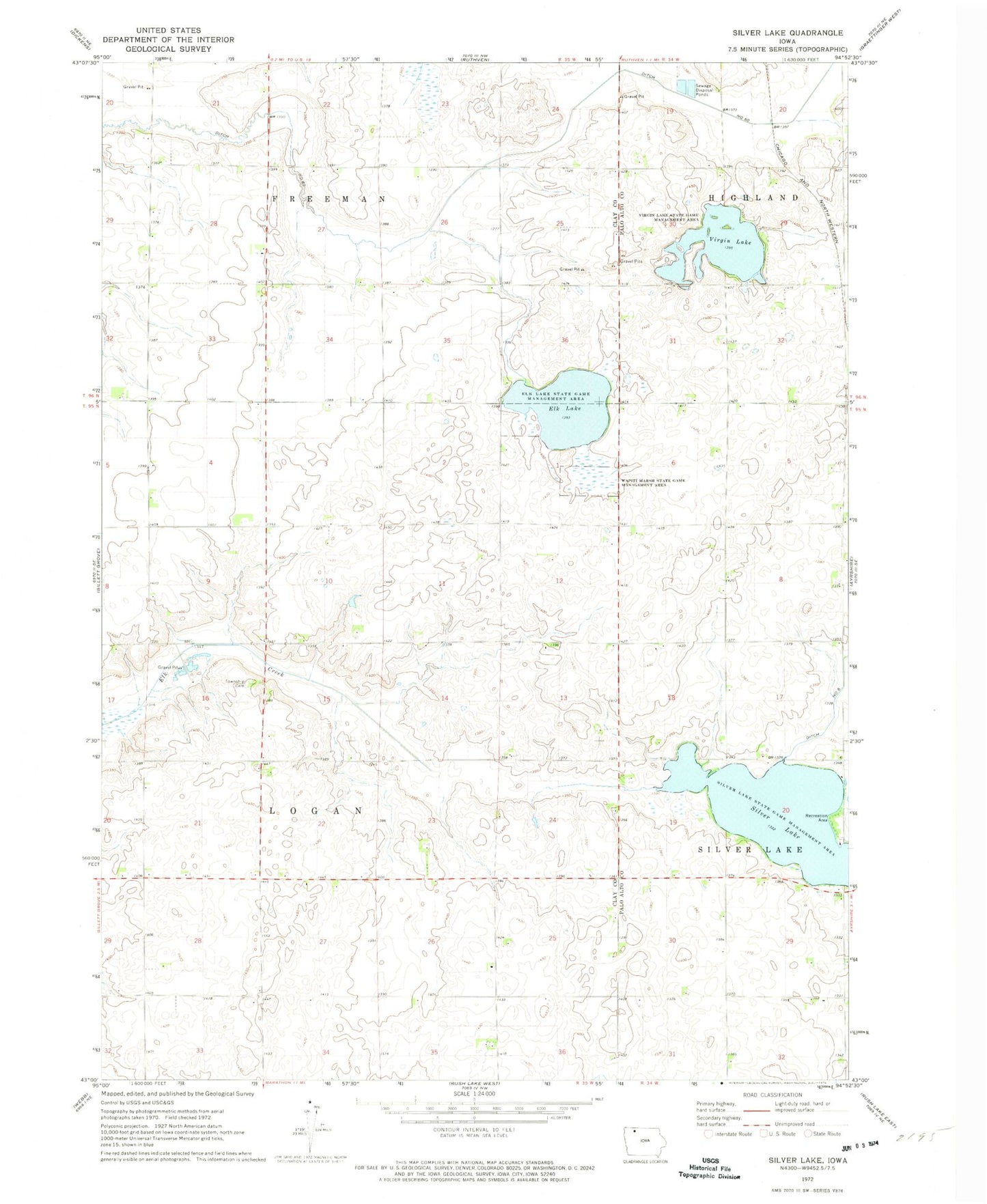
Classic USGS Silver Lake Iowa 7.5'x7.5' Topo Map
Couldn't load pickup availability
Historical USGS topographic quad map of Silver Lake in the state of Iowa. Map scale may vary for some years, but is generally around 1:24,000. Print size is approximately 24" x 27"
This quadrangle is in the following counties: Clay, Palo Alto.
The map contains contour lines, roads, rivers, towns, and lakes. Printed on high-quality waterproof paper with UV fade-resistant inks, and shipped rolled.
Contains the following named places: Crooked Creek Farm, Dejong Farms, Ditch Number 60, Du Marsh Area, Elbow Lake, Elk Lake, Elk Lake State Game Mgt Area, Jade Farms, Little-Bit-of-Prairie Wildlife Area, Logan Township Cemetery, Myers Farm, Rolo Farms, Rusk Farms, Silver Lake, Silver Lake Wildlife Management Area, Township of Logan, Virgin Lake, Virgin Lake State Game Management Area, Wapiti Marsh State Game Management Area