MyTopo
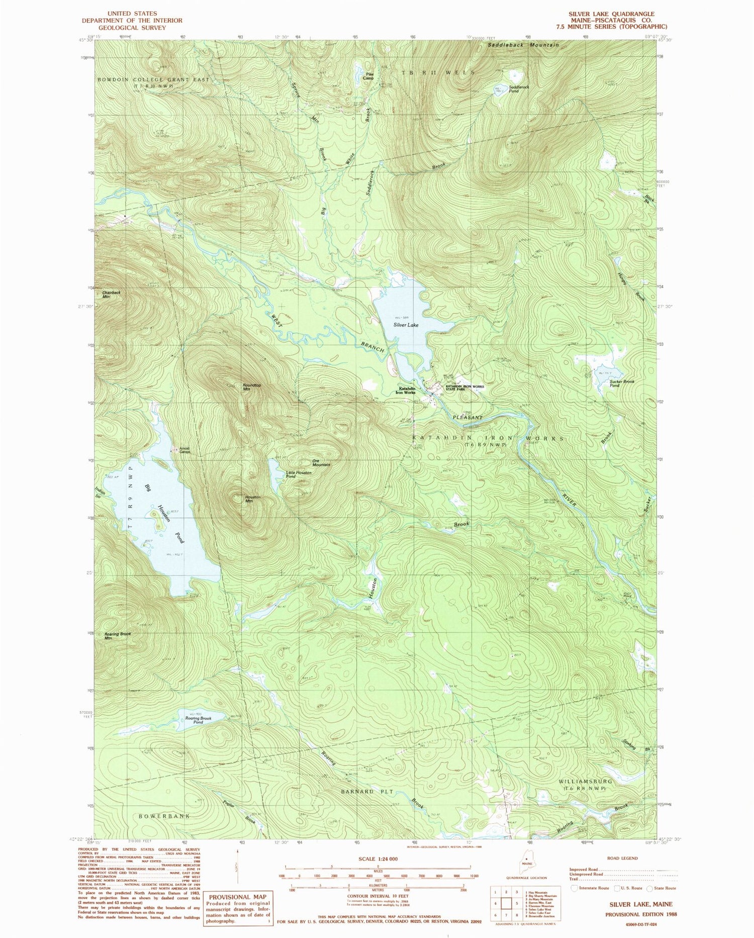
Classic USGS Silver Lake Maine 7.5'x7.5' Topo Map
Couldn't load pickup availability
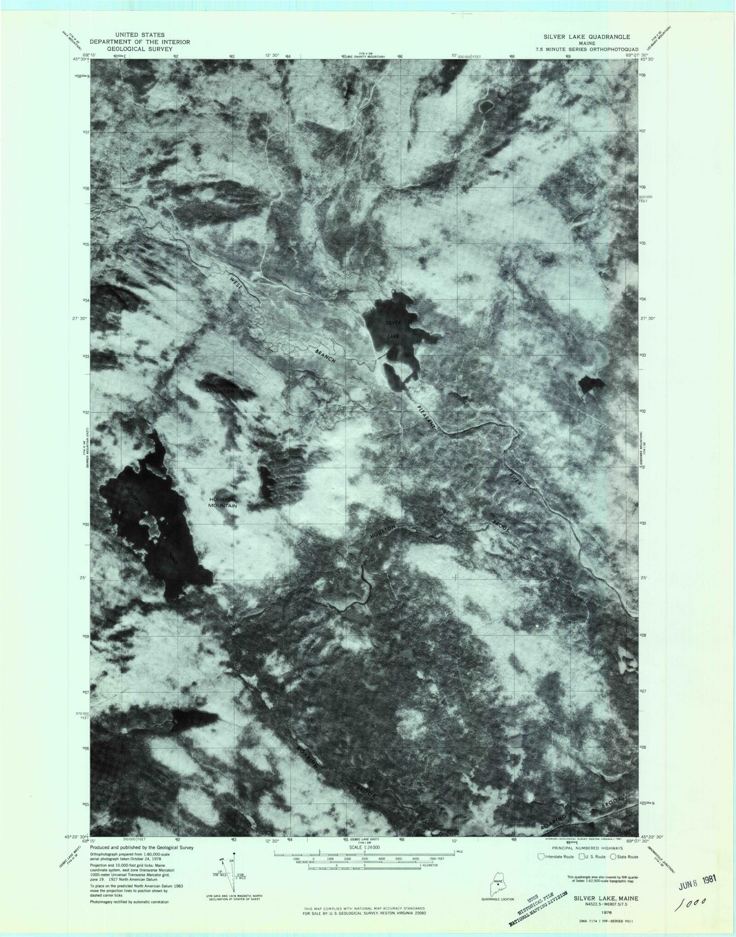
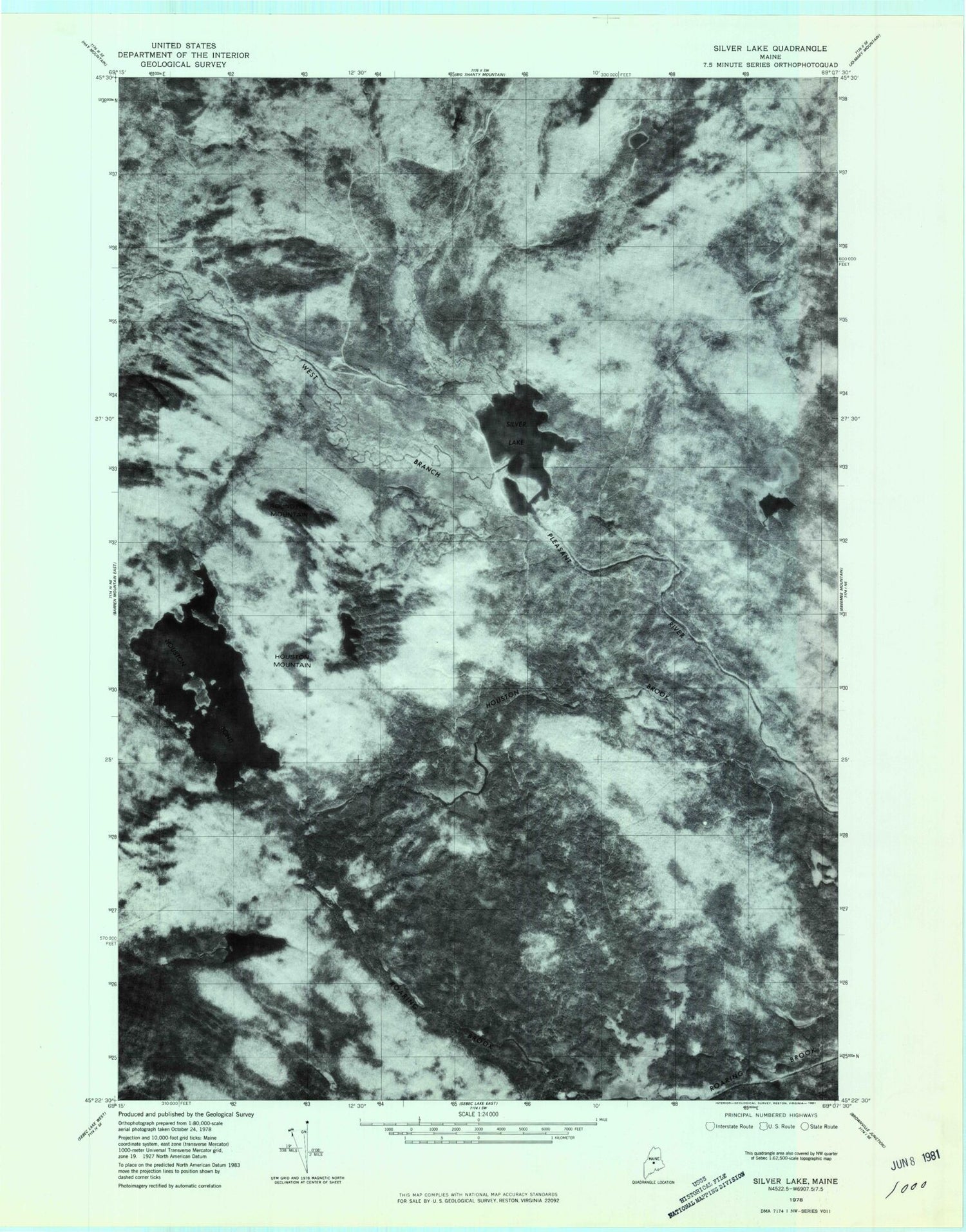
Historical USGS topographic quad map of Silver Lake in the state of Maine. Typical map scale is 1:24,000, but may vary for certain years, if available. Print size: 24" x 27"
This quadrangle is in the following counties: Piscataquis.
The map contains contour lines, roads, rivers, towns, and lakes. Printed on high-quality waterproof paper with UV fade-resistant inks, and shipped rolled.
Contains the following named places: Arnold Camps, Auburn Log Hauling Road, Big White Brook, Houston Brook, Houston Mountain, Big Houston Pond, Indian Stream, Katahdin Iron Works, Little Houston Pond, Ore Mountain, Page Brook, Pine Camp, Roaring Brook Pond, Roundtop Mountain, Saddlerock Brook, Saddlerock Pond, Silver Lake, Spruce Mountain Brook, Sucker Brook, Sucker Brook Pond, White Brook, Katahdin Iron Works Historic Site, Katahdin Iron Works Township