
MyTopo
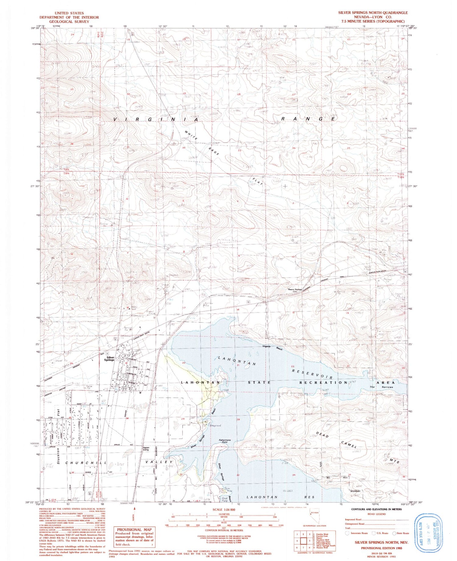
Classic USGS Silver Springs North Nevada 7.5'x7.5' Topo Map
Couldn't load pickup availability
Historical USGS topographic quad map of Silver Springs North in the state of Nevada. Map scale may vary for some years, but is generally around 1:24,000. Print size is approximately 24" x 27"
This quadrangle is in the following counties: Lyon.
The map contains contour lines, roads, rivers, towns, and lakes. Printed on high-quality waterproof paper with UV fade-resistant inks, and shipped rolled.
Contains the following named places: Appian Siding, Big Meadows, Central Lyon County Fire Protection District Silver Springs Volunteer Fire Department Station 32, Fishermans Point, Hawes Station, Honey Lake, Lahontan Reservoir, Lahontan State Recreation Area, Lyon County Sheriff's Office, Mountain of Hieroglyphics, Nevada Station, Sage Flat Well, Silver Springs, Silver Springs Airport, Silver Springs Census Designated Place, Silver Springs Marina, Silver Springs Post Office, Virginia Beach, White Sage Flat


