MyTopo
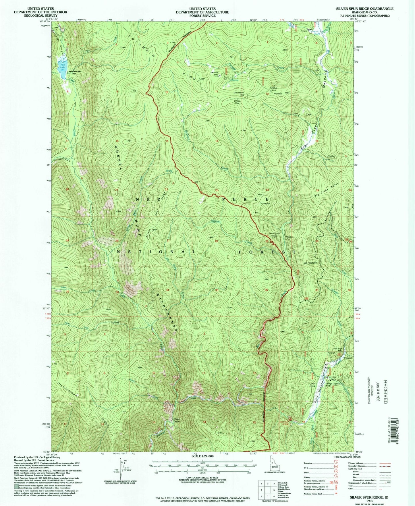
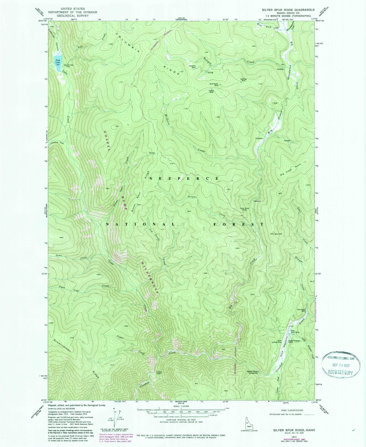
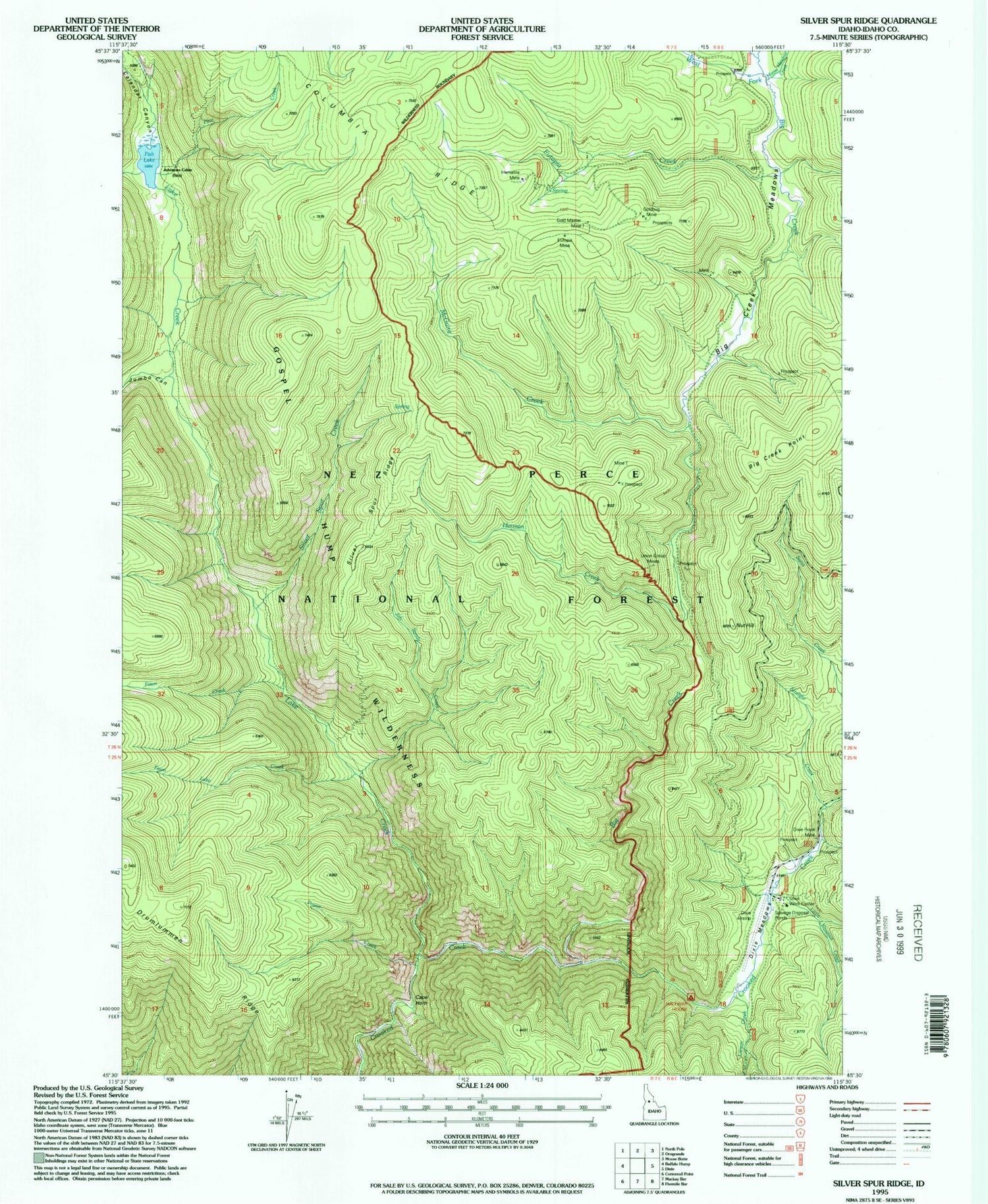
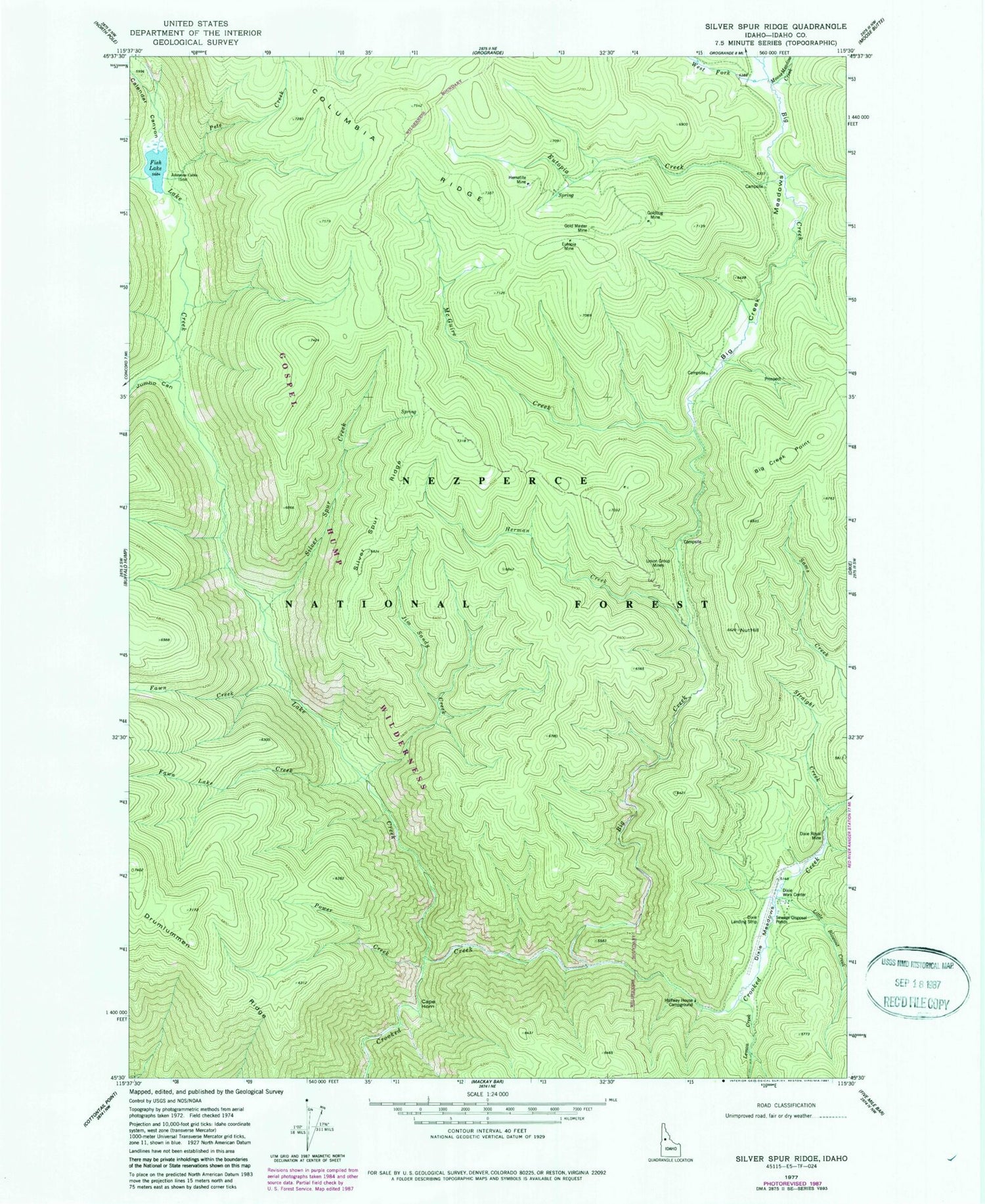
Classic USGS Silver Spur Ridge Idaho 7.5'x7.5' Topo Map
Couldn't load pickup availability
Historical USGS topographic quad map of Silver Spur Ridge in the state of Idaho. Typical map scale is 1:24,000, but may vary for certain years, if available. Print size: 24" x 27"
This quadrangle is in the following counties: Idaho.
The map contains contour lines, roads, rivers, towns, and lakes. Printed on high-quality waterproof paper with UV fade-resistant inks, and shipped rolled.
Contains the following named places: Big Creek, Big Creek Meadows, Calendar Canyon, Cape Horn, Dixie Royal Mine, Dixie Work Center, Eutopia Creek, Eutopia Mine, Fawn Creek, Fawn Lake Creek, Fish Lake, Gold Master Mine, Goldbug Mine, Halfway House Campground, Hematite Mine, Herman Creek, Jim Sandy Creek, Johnson Cabin, Jumbo Canyon, Lake Creek, Lemon Creek, Little Blowout Creek, McGuire Creek, Moose Meadow Creek, Nut Hill, Pete Creek, Power Creek, Silver Spur Creek, Silver Spur Ridge, Straight Creek, Union Group Mines, West Fork Big Creek, Whistling Pig Canyon, Big Creek Point, Whistling Pig Creek, Hay Fork, Dixie USFS Airport


