MyTopo
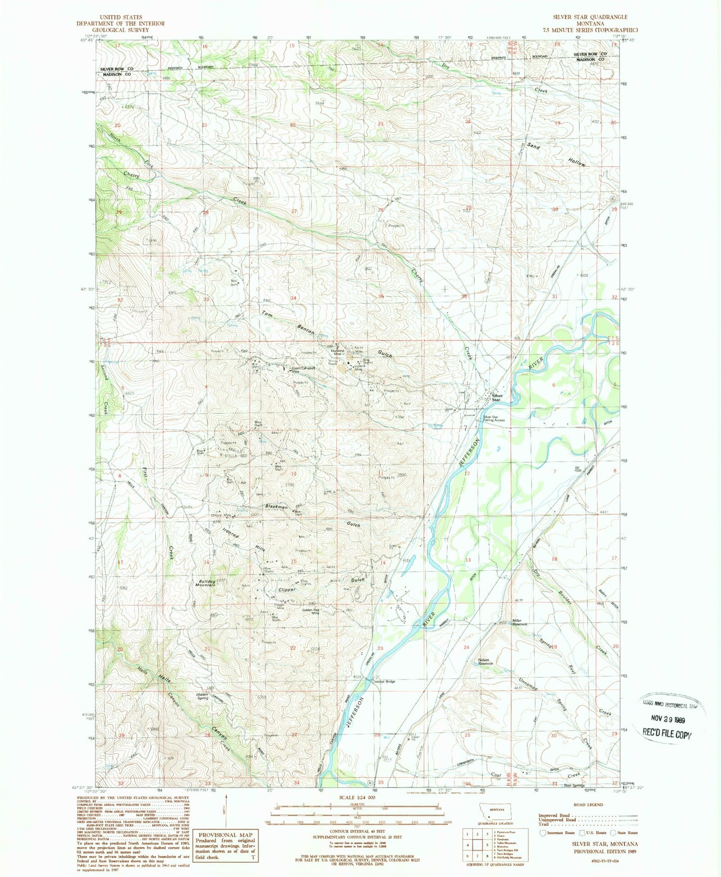
Classic USGS Silver Star Montana 7.5'x7.5' Topo Map
Couldn't load pickup availability
Historical USGS topographic quad map of Silver Star in the state of Montana. Map scale may vary for some years, but is generally around 1:24,000. Print size is approximately 24" x 27"
This quadrangle is in the following counties: Madison, Silver Bow.
The map contains contour lines, roads, rivers, towns, and lakes. Printed on high-quality waterproof paper with UV fade-resistant inks, and shipped rolled.
Contains the following named places: 01S06W33BAAD01 Spring, 01S06W34CBDC01 Spring, 02S06W01CCCD01 Spring, 02S06W01CCCD02 Spring, 02S06W01CDD_01 Well, 02S06W11DCDC01 Spring, 02S06W12CCBC01 Well, 02S06W12CCCC01 Well, Agalia Mine, Aurora Boraellis Mine, Aurora Mine, Aurora/Galena Mine, Baccharat Mine, Bain Springs, Barkell Hot Springs, Blackman Gulch, Broadway/Victoria Mine, Bull Dog Mine, Bulldog Mountain, Cherry Creek, Chromite Mine, Clancy Mine, Clifford Mine, Clipper Gulch, Clipper Mine, Coal Creek, Crawford Post Office, Creeklyn Ditch, Cricket Mine, Dry Boulder Creek, Dry Creek, Fagan Mine, First Creek, Frida Marie Mine, Galena Mine, Glenns Falls Mine, Golden Antler Mine, Golden Rod Mine, Green Campbell Mine, Green-Campbell Mine, Hells Canyon Mine, Hidden Spring, Hudson Mine, Iron Rod, Iron Rod Extension Mine, Iron Rod Mine, Iron Rod Post Office, Iron Rod School, Ironrod Bridge, Ironrod Hills, Ironrod Mine, Jefferson River Camp, Keystone Mine, Locust Mine, MGV Mine, Miller Reservoir, Moonlight Mine, Morning Mine, National Museum of Machinery, Nelson Reservoir, North Fork Cherry Creek, NW NE Section 18 Mine, NW Section 9 Mine, Sage Hen Mine, Sample Orr Mine, Sand Hollow, SE Section 15 Mine, Shamrock Mine, Shamrock/Quincy Mine, Silver Star, Silver Star Bridge, Silver Star Cemetery, Silver Star Census Designated Place, Silver Star Fishing Access, Silver Star Mine, Silver Star Post Office, Silver Star School, Spring Reef Creek, Star Mine, Star Mines, Stella Mine, Stella/Golden Spike Mine, SW Section 11 Mine, Tom Benton Gulch, Unnamed Spring Creek, Victoria Mine


