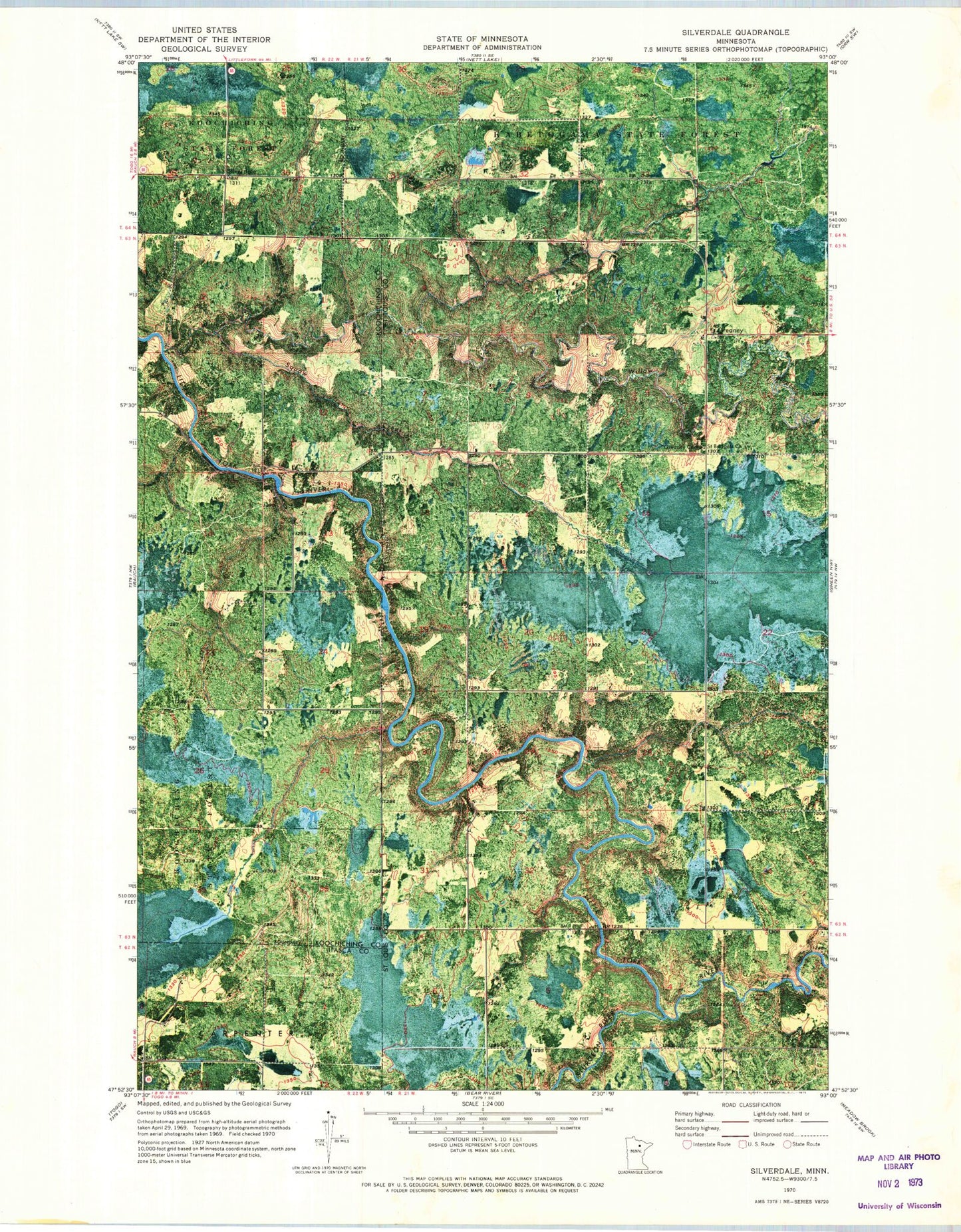
MyTopo
Classic USGS Silverdale Minnesota 7.5'x7.5' Topo Map
Regular price
$16.95
Regular price
Sale price
$16.95
Unit price
per
Couldn't load pickup availability
Historical USGS topographic quad map of Silverdale in the state of Minnesota. Map scale may vary for some years, but is generally around 1:24,000. Print size is approximately 24" x 27"
This quadrangle is in the following counties: Itasca, Koochiching, St. Louis.
The map contains contour lines, roads, rivers, towns, and lakes. Printed on high-quality waterproof paper with UV fade-resistant inks, and shipped rolled.
Contains the following named places: Bois Forte Creek, Greaney, Greaney - Rauch - Silverdale Fire Department, Greaney Cemetery, Greaney Post Office, Saint Bridgets Church, Silverdale, Silverdale Post Office, Sturgeon River, Willow River