MyTopo
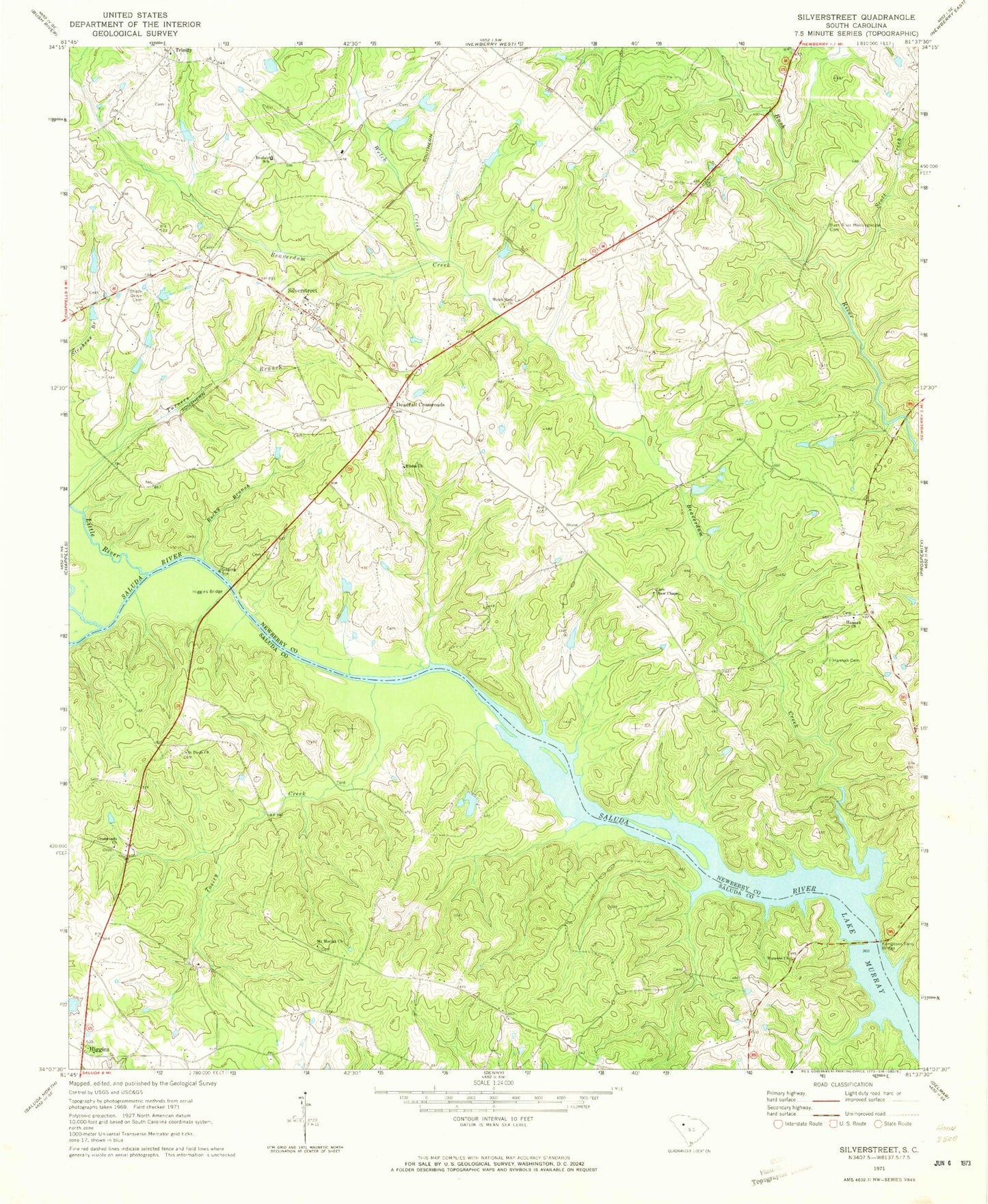
Classic USGS Silverstreet South Carolina 7.5'x7.5' Topo Map
Couldn't load pickup availability
Historical USGS topographic quad map of Silverstreet in the state of South Carolina. Map scale may vary for some years, but is generally around 1:24,000. Print size is approximately 24" x 27"
This quadrangle is in the following counties: Newberry, Saluda.
The map contains contour lines, roads, rivers, towns, and lakes. Printed on high-quality waterproof paper with UV fade-resistant inks, and shipped rolled.
Contains the following named places: Bauknight Ferry, Beaverdam Creek, Bush River Meeting House, Bush River Meetinghouse Cemetery, Cherokee Golf Pond Dam Number One D-3404, Crossroads Church, Deadfall Crossroads, Deadfall School, Elisha Church, Elisha School, Hannah Cemetery, Hannah Church, Hannah School, Hendersons Pond D-1475 Dam, Higgins, Higgins Bridge, Higgins Rosenwald School, Higgins School, Kempsons Ferry, Kempsons Ferry Bridge, Langfords Mill, Little River, Merchant Cemetery, Mount Moriah Church, Mount Olive Church, Mount Zion Church, Mount Zion School, New Chapel, New Chapel Cemetery, Nichols Poultry Farm, Perry Cemetery, Perrys Crossroads, R Colemans Pond, R Colemans Pond Dam, Reuben School, Rocky Branch, Saint Marys Church, Saint Pauls Church, Scott Creek, Shady Grove Cemetery, Shady Grove Methodist Church, Silver Street School, Silverstreet, Silverstreet Fire Department, Silverstreet Lutheran Church, South Carolina Noname 36001 D-1476 Dam, Spearman, Sunset Park School, Tosity Creek, Town of Silverstreet, Trinity, Trinity Church, Trinity School, Utopia School, W Colemans Pond, W Colemans Pond Dam D-1204, Waldrops Pond D-1474 Dam, Wateree Church, Welch Creek, Welch Zion Church


