MyTopo
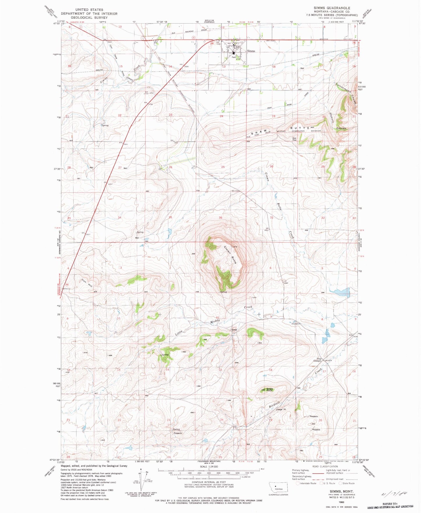
Classic USGS Simms Montana 7.5'x7.5' Topo Map
Couldn't load pickup availability
Historical USGS topographic quad map of Simms in the state of Montana. Map scale may vary for some years, but is generally around 1:24,000. Print size is approximately 24" x 27"
This quadrangle is in the following counties: Cascade.
The map contains contour lines, roads, rivers, towns, and lakes. Printed on high-quality waterproof paper with UV fade-resistant inks, and shipped rolled.
Contains the following named places: 20N02W31A___01 Well, 20N03W10C___01 Well, 20N03W22B___01 Well, 20N03W23B___01 Well, 20N03W23D___01 Well, 59477, Conrad School, Cottonwood Coulee, Crown Butte, Crown Butte Canal, Deiphobus Dam, Eagle Rock, Eagle Rock Mine, Eagle Rock Stage Station, Fort Shaw Canal, Four Corners, Hepler Post Office, Hickory Coulee, Huterite Colony Dam, Iron Hill, Simms, Simms Census Designated Place, Simms Community Church, Simms High School, Simms Post Office, Simms United Methodist Church, Simms Volunteer Fire Department, Webb Ranch