MyTopo
Classic USGS Simons Butte Montana 7.5'x7.5' Topo Map
Couldn't load pickup availability
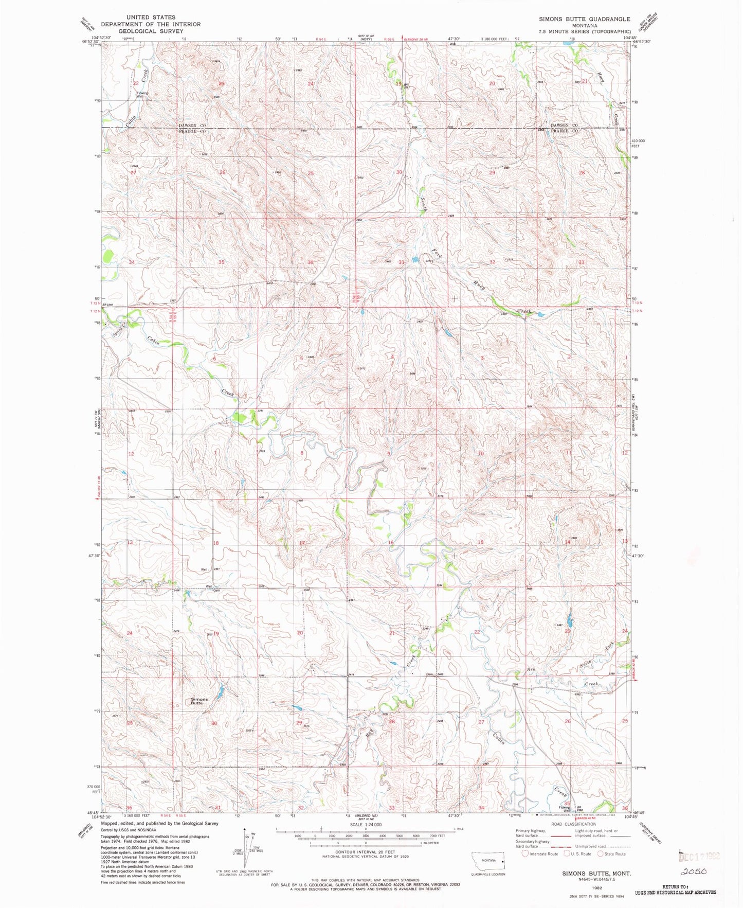
Historical USGS topographic quad map of Simons Butte in the state of Montana. Map scale may vary for some years, but is generally around 1:24,000. Print size is approximately 24" x 27"
This quadrangle is in the following counties: Dawson, Prairie.
The map contains contour lines, roads, rivers, towns, and lakes. Printed on high-quality waterproof paper with UV fade-resistant inks, and shipped rolled.
Contains the following named places: 12N54E01BA__01 Well, 12N54E12CD__01 Well, 12N54E13DC__01 Well, 12N54E25BBBD01 Well, 12N54E36AB__01 Well, 12N55E01BB__01 Well, 12N55E05CDAA01 Well, 12N55E08CC__01 Well, 12N55E15BC__01 Well, 12N55E16DB__01 Well, 12N55E18CA__01 Well, 12N55E20BC__01 Well, 12N55E20DCCD01 Well, 12N55E21DD__01 Well, 12N55E22BC__01 Well, 12N55E25BB__01 Well, 12N55E25BB__02 Well, 12N55E26BBCA01 Well, 12N55E26BC__01 Well, 12N55E27AB__01 Well, 12N55E27BADD01 Well, 12N55E28BD__01 Well, 12N55E29DD__01 Well, 12N55E30DA__01 Well, 12N55E32AA__01 Well, 12N55E33AC__01 Well, 12N55E35AC__01 Well, 13N54E22ACD_01 Well, 13N54E22CA__01 Well, 13N54E35ACAA01 Well, 13N55E20AA__01 Well, 13N55E20AA__02 Well, 13N55E21BB__01 Well, 13N55E21CC__01 Well, 13N55E28BB__01 Well, 13N55E28BB__02 Well, 13N55E30DBBA01 Well, 59326, Ash Creek, Bossert School, Brost School, Brown Coulee, Buckley School, Buckskin Gulch, Bull Coulee, Cabin Creek Rural Fire District, Crop Land Coulee, Crow Coulee, Gaub Creek, Gulch One, Gulch Two, Hay Creek, North Fork Ash Creek, Red Barn Coulee, Roehl Coulee, Sand Butte Creek, Simons Butte, Spring Creek, Strobel School, Valley School, West Fork Hay Creek


