
MyTopo
Classic USGS Simpson Park Canyon Nevada 7.5'x7.5' Topo Map
Couldn't load pickup availability
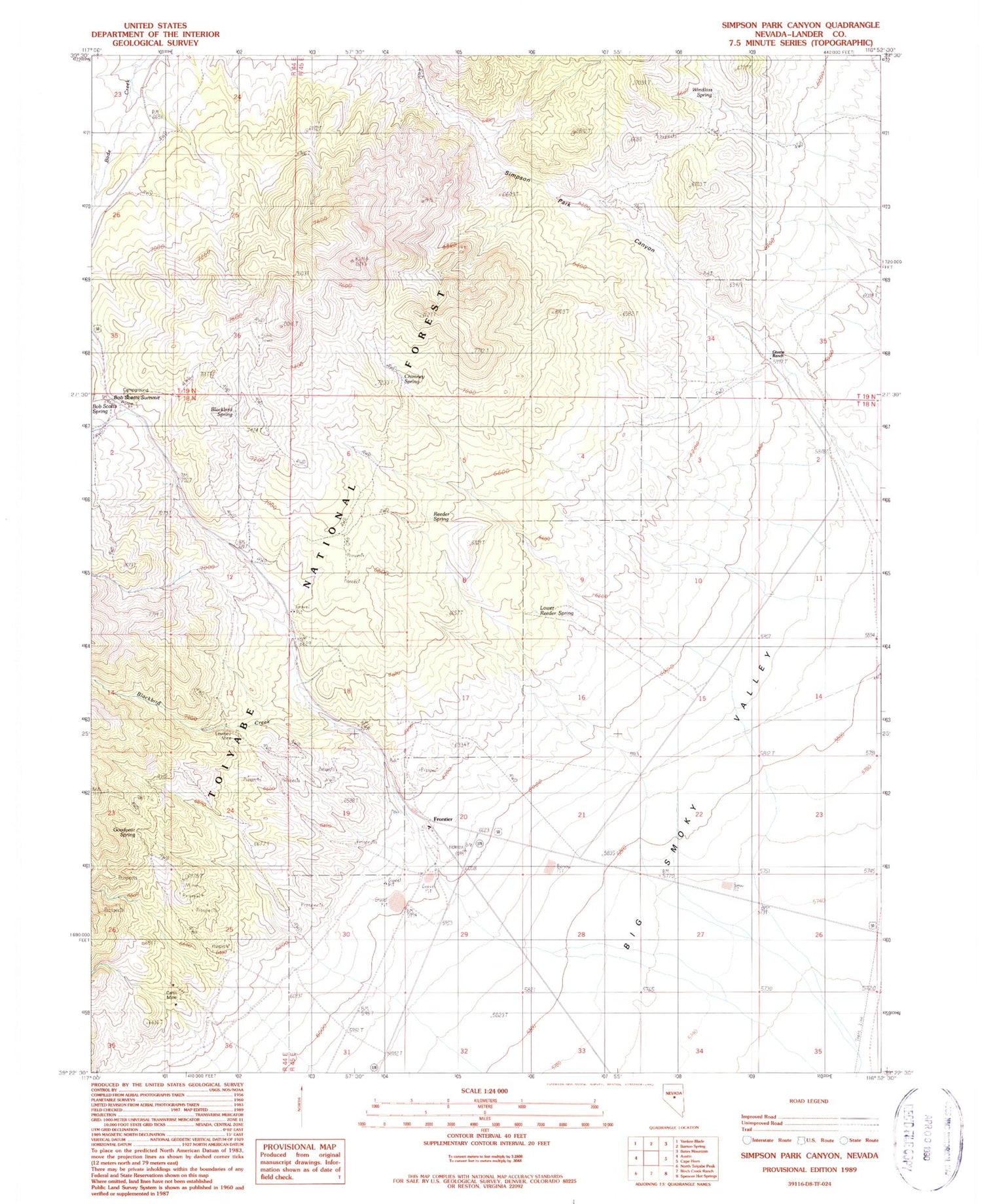
Historical USGS topographic quad map of Simpson Park Canyon in the state of Nevada. Map scale may vary for some years, but is generally around 1:24,000. Print size is approximately 24" x 27"
This quadrangle is in the following counties: Lander.
The map contains contour lines, roads, rivers, towns, and lakes. Printed on high-quality waterproof paper with UV fade-resistant inks, and shipped rolled.
Contains the following named places: Birch Creek Mine, Black Bird Canyon, Blackbird, Blackbird Creek, Blackbird Ranch, Blackbird Spring, Bob Scott Forest Service Recreation Site, Bob Scotts Historical Site, Bob Scotts Summit, Frontier, Givens Ranch, Goodyear Spring, Lowboy Mine, Lower Reeder Spring, Reeder Spring, Simpson Park Canyon, Windlass Spring


