MyTopo
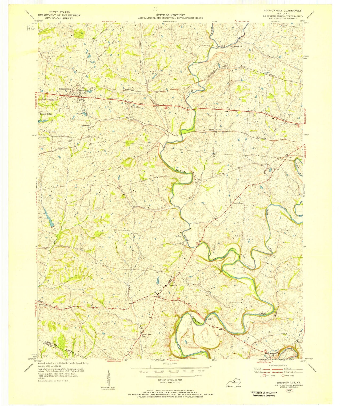
Classic USGS Simpsonville Kentucky 7.5'x7.5' Topo Map
Couldn't load pickup availability
Historical USGS topographic quad map of Simpsonville in the state of Kentucky. Map scale may vary for some years, but is generally around 1:24,000. Print size is approximately 24" x 27"
This quadrangle is in the following counties: Shelby, Spencer.
The map contains contour lines, roads, rivers, towns, and lakes. Printed on high-quality waterproof paper with UV fade-resistant inks, and shipped rolled.
Contains the following named places: Beechwood Church, Beechwood School, Buck Creek Baptist Church, Buck Creek Cemetery, Buck Creek School, Buck Creek Station, Bullskin Creek, Captain Samuel Wells Station, City of Simpsonville, Clear Creek, Dry Run, Finchs Railroad Station, Finchville, Finchville Christian Church, Finchville Post Office, Finchville School, Fox Run, Gath Railroad Station, Herrington Mills, Joyes, Little Bullskin Creek, Meadow Run, Montclair, Newlands Station, Olive Branch, Olive Branch United Methodist Church, Pickett Railroad Station, Picketts Cemetery, Popes Corner, School Number Twenty-One, Scotts Station, Scotts Station Post Office, Shelby Academy, Shelby County Fire Department Station 2, Shelby County Fire Department Station 4, Shiloh Church, Simpsonville, Simpsonville Division, Simpsonville Fire Department, Simpsonville Post Office, Simpsonville Rural Fire Protection District Station 3, Taggart Railroad Station, Thelma L Stovall Historical Marker, Veechdale, Veechdale Post Office, Veechdale Railroad Station, ZIP Codes: 40022, 40067