MyTopo
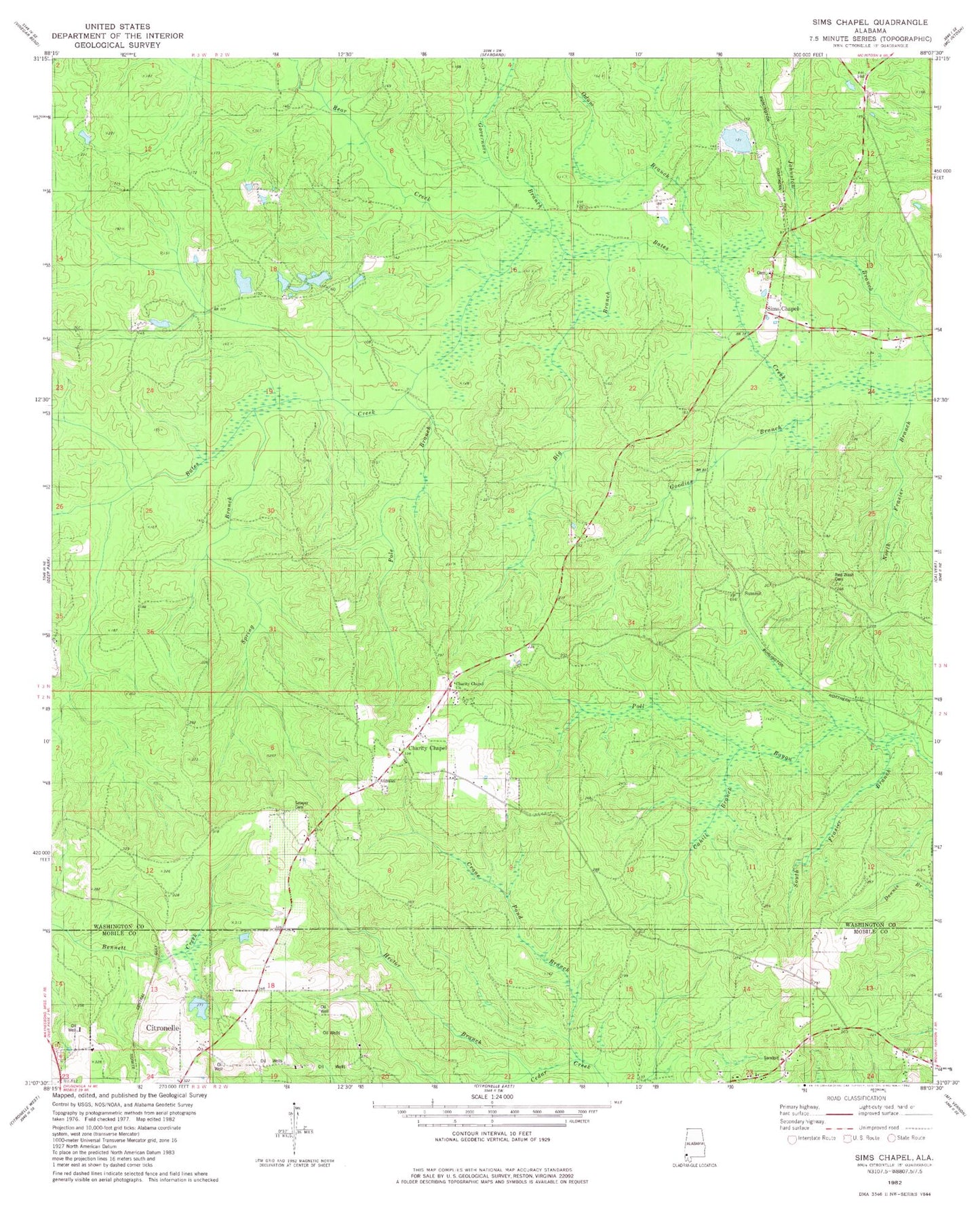
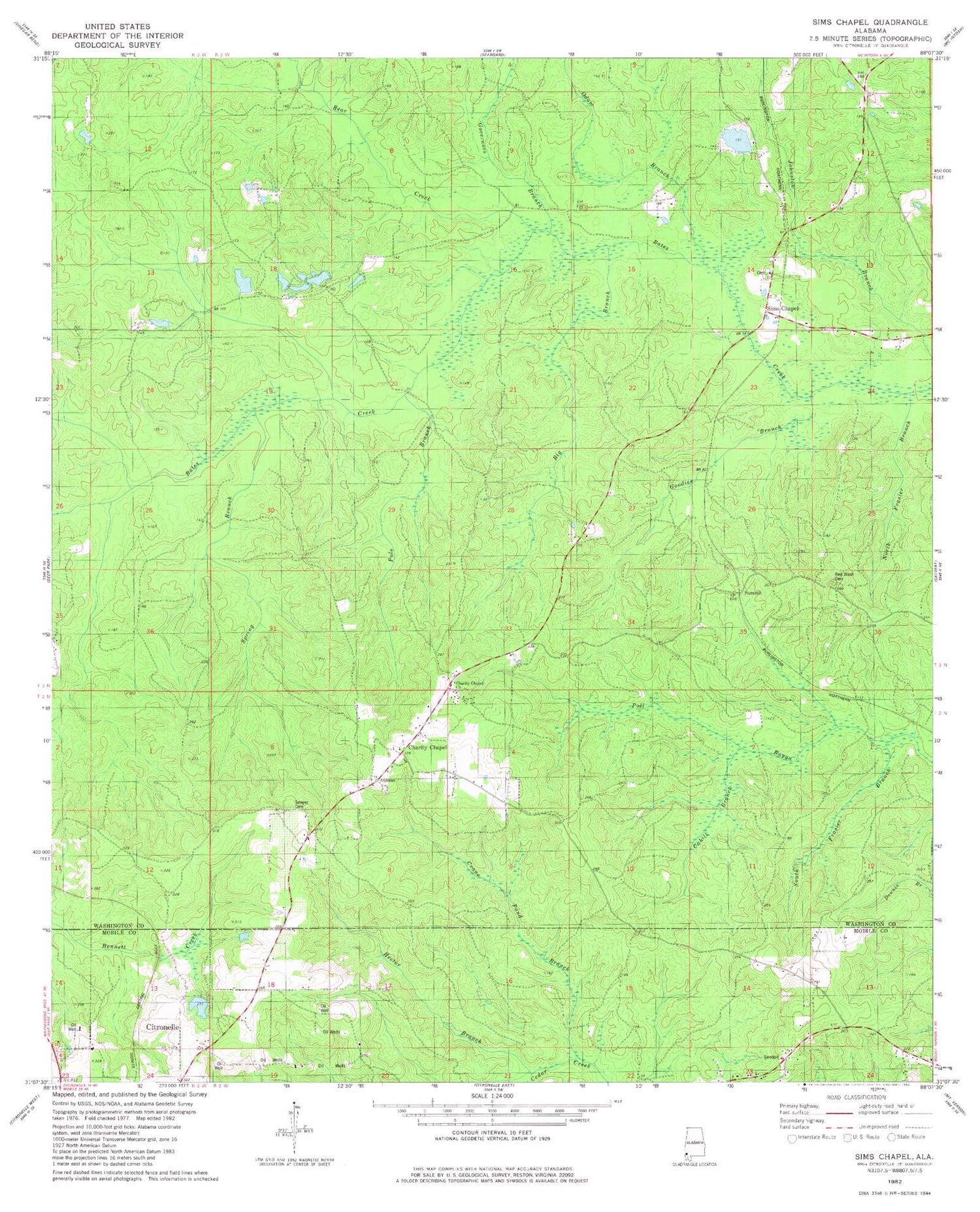
Classic USGS Sims Chapel Alabama 7.5'x7.5' Topo Map
Couldn't load pickup availability
Historical USGS topographic quad map of Sims Chapel in the state of Alabama. Map scale may vary for some years, but is generally around 1:24,000. Print size is approximately 24" x 27"
This quadrangle is in the following counties: Mobile, Washington.
The map contains contour lines, roads, rivers, towns, and lakes. Printed on high-quality waterproof paper with UV fade-resistant inks, and shipped rolled.
Contains the following named places: Bear Creek, Bee Branch, Best Dam, Best Pond, Big Branch, Boykin State Wildlife Management Area, Cahill Branch, Carlow Cemetery, Charity Chapel, Charity Chapel Cemetery, Charity Chapel Church, Charity Chapel School, Charity Chapel Volunteer Fire Department, Clay Bassett Dam, Crane Pond Branch, Goodies Branch, Governors Branch, Hector Branch, Johnson Dam, Johnsons Pond, Mount Zion African Methodist Episcopal Zion Church, North Frasier Branch, Odom Branch, Pole Branch, Red Wash Cemetery, Sawyer Cemetery, Sims Chapel, Sims Chapel Cemetery, Sims Chapel Census Designated Place, Sims Chapel School, Sims Chapel United Methodist Church, South Frasier Branch, Spring Branch, Summit, Tensaw Land and Timber Co Dam, Tensaw Land and Timber Co Pond