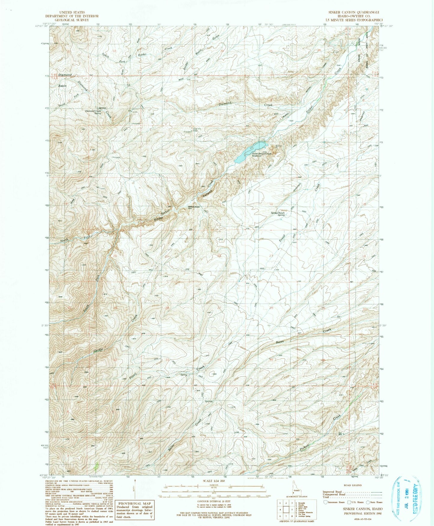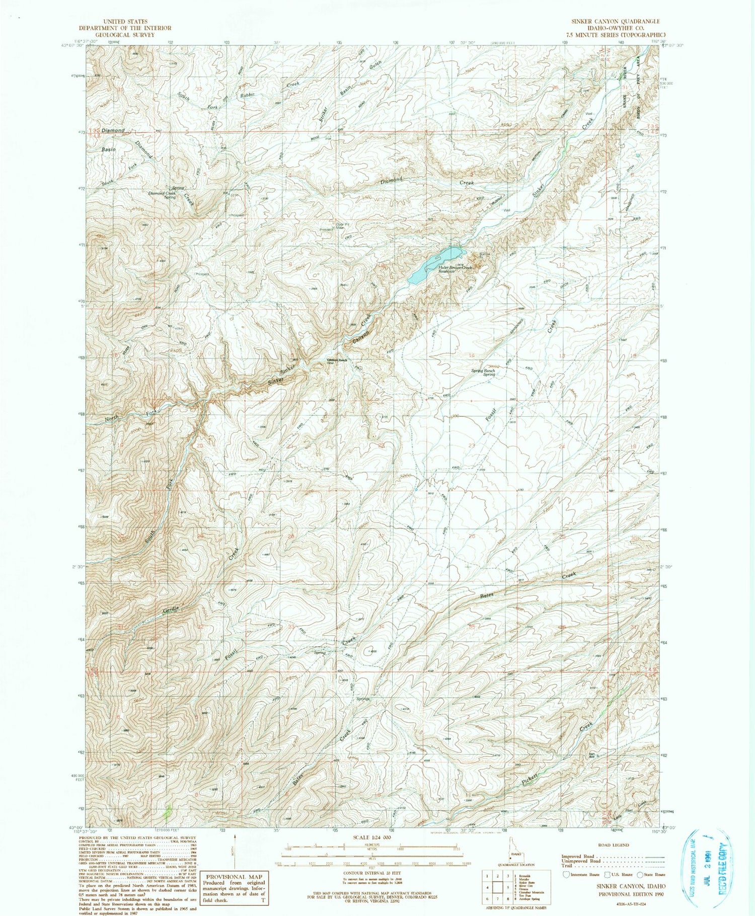
MyTopo
Classic USGS Sinker Canyon Idaho 7.5'x7.5' Topo Map
Couldn't load pickup availability
Historical USGS topographic quad map of Sinker Canyon in the state of Idaho. Map scale may vary for some years, but is generally around 1:24,000. Print size is approximately 24" x 27"
This quadrangle is in the following counties: Owyhee.
The map contains contour lines, roads, rivers, towns, and lakes. Printed on high-quality waterproof paper with UV fade-resistant inks, and shipped rolled.
Contains the following named places: Diamond Basin, Diamond Creek, Diamond Creek Spring, East Fork Sinker Creek, Gerdie Creek, Gilmore Ranch, Hulet Dam, Hulet-Sinker Creek Reservoir, North Fork Sinker Creek, Pedracini Fork, Sinker, Sinker Canyon, South Fork Diamond Creek, South Fork Sinker Creek, Spring Ranch, Spring Ranch Spring