MyTopo
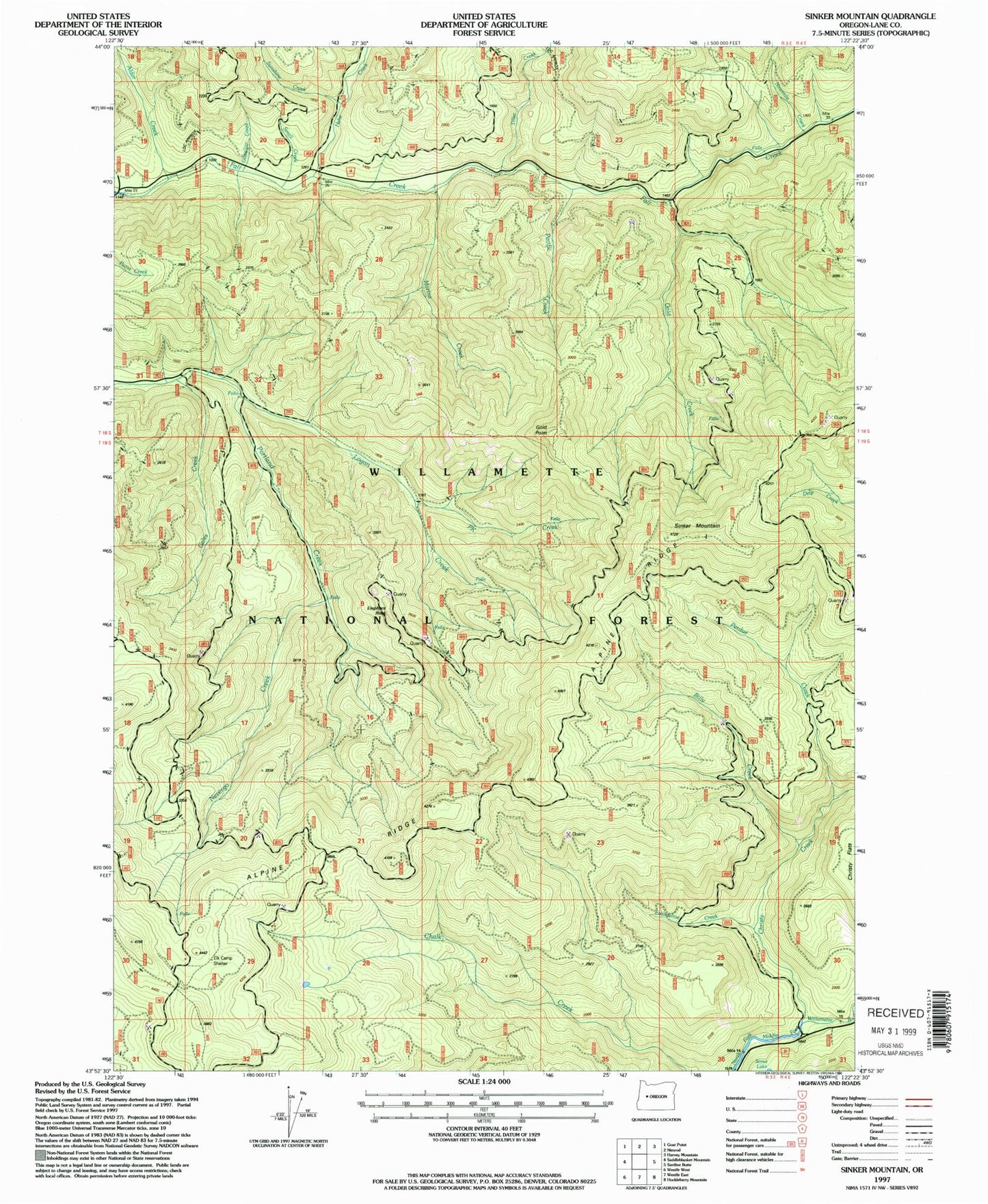
Classic USGS Sinker Mountain Oregon 7.5'x7.5' Topo Map
Couldn't load pickup availability
Historical USGS topographic quad map of Sinker Mountain in the state of Oregon. Map scale may vary for some years, but is generally around 1:24,000. Print size is approximately 24" x 27"
This quadrangle is in the following counties: Lane.
The map contains contour lines, roads, rivers, towns, and lakes. Printed on high-quality waterproof paper with UV fade-resistant inks, and shipped rolled.
Contains the following named places: Alder Creek, Alpine Ridge, Billy Creek, Christy Creek, Delp Creek, Delp Creek Shelter, Elephant Rock, Elk Camp Shelter, Evangeline Creek, Gales Creek, Gibraltar Creek, Gold Creek, Gold Point, Gold Point Trail, Hehe Creek, Highland Cabin, Ironside Mine, Logan Creek, Marine Creek, Marine Ridge, McKinley Creek Trail, Nevergo Creek, Ninemile Creek, Pacific Creek, Perdue Creek, PK Creek, Sinker Mountain, Small Creek, Sunshine Creek, Tiller Creek, Tumble Creek


