MyTopo
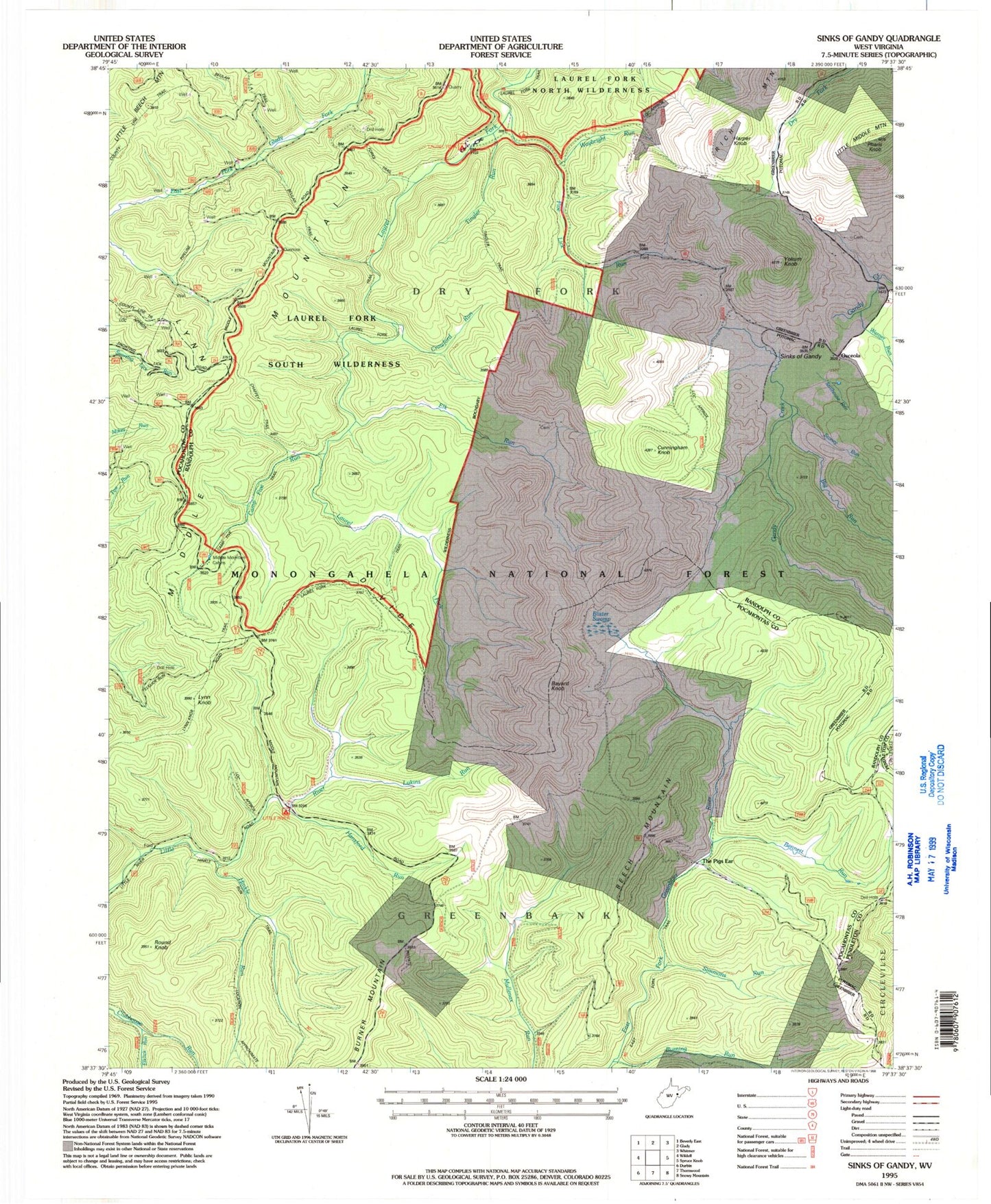
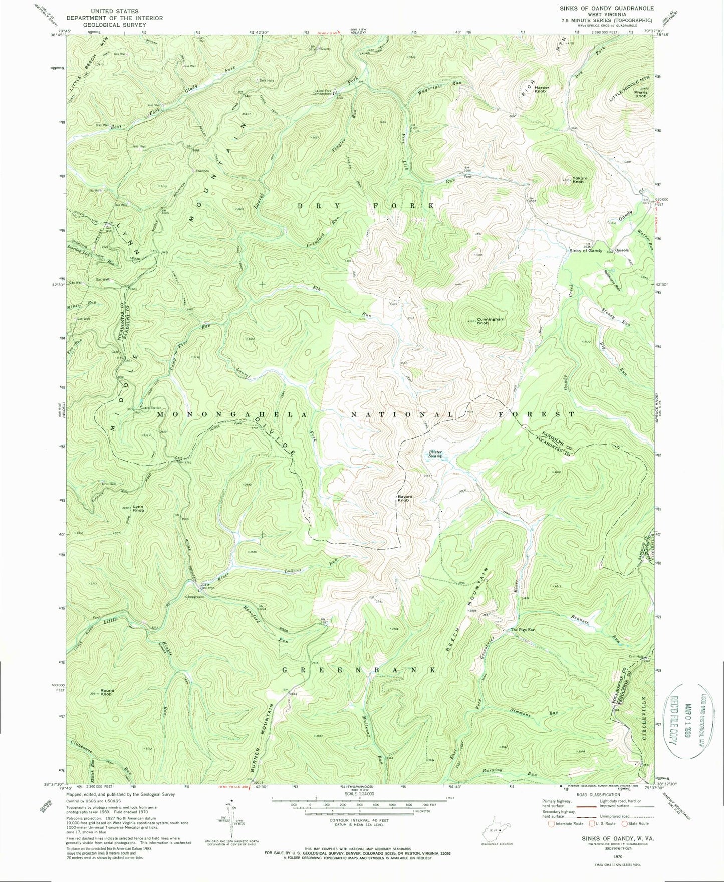
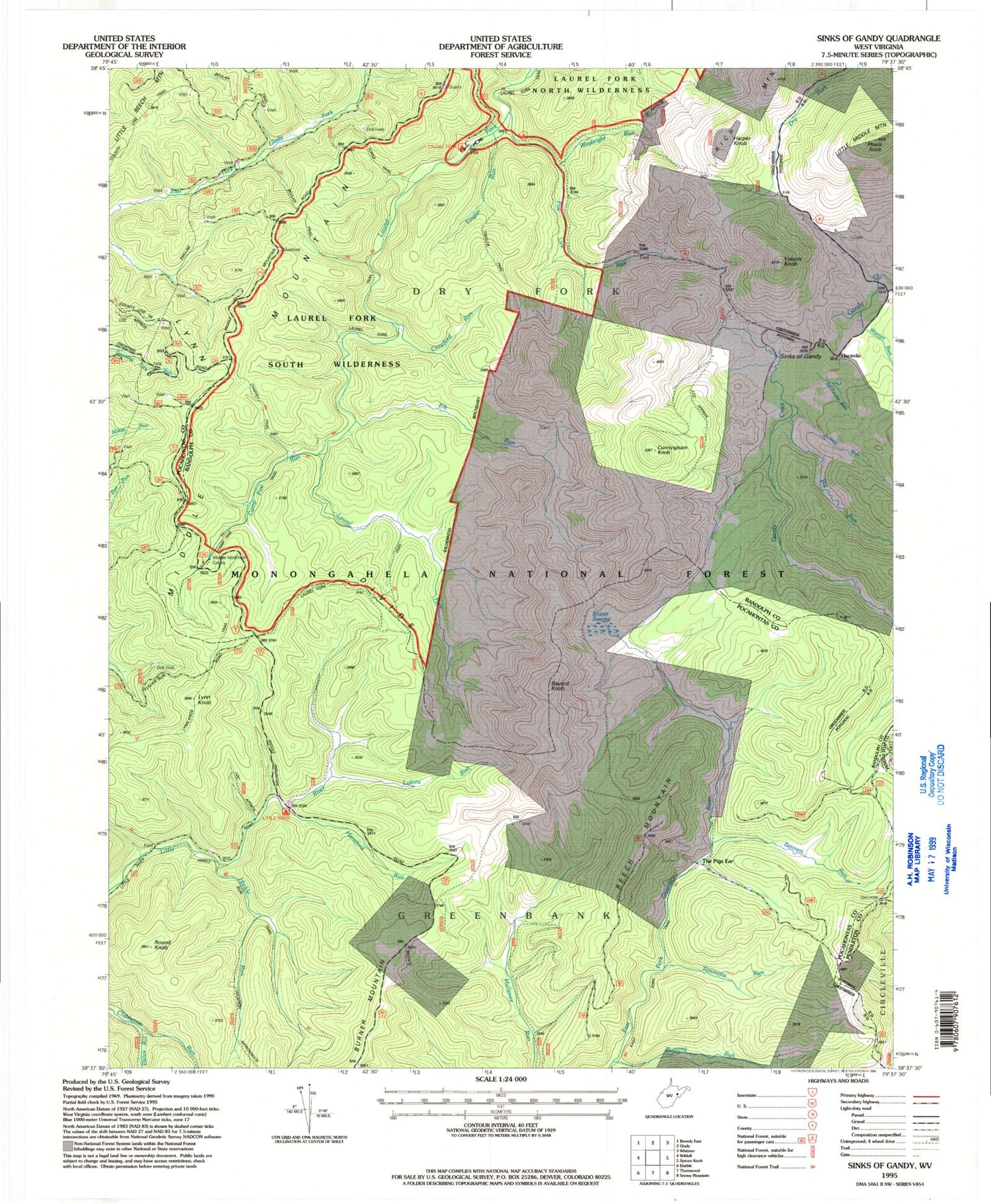
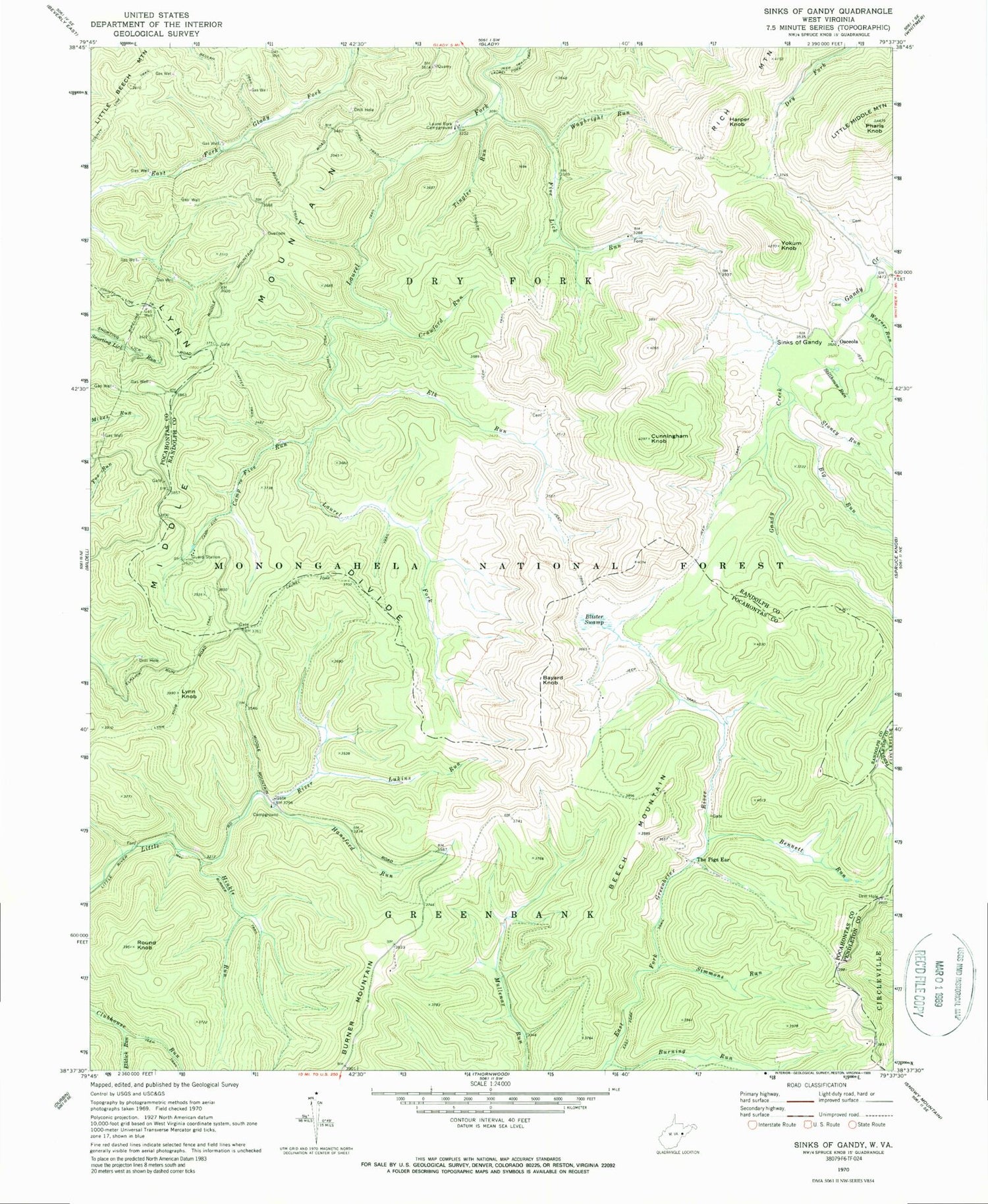
Classic USGS Sinks of Gandy West Virginia 7.5'x7.5' Topo Map
Couldn't load pickup availability
Historical USGS topographic quad map of Sinks of Gandy in the states of West Virginia, Virginia. Typical map scale is 1:24,000, but may vary for certain years, if available. Print size: 24" x 27"
This quadrangle is in the following counties: Pendleton, Pocahontas, Randolph.
The map contains contour lines, roads, rivers, towns, and lakes. Printed on high-quality waterproof paper with UV fade-resistant inks, and shipped rolled.
Contains the following named places: Bennett Run, Beulah Trail, Big Run, Blister Swamp, Burning Run, Camp Five Run, Camp Five Trail, Chaffey Trail, County Line Trail, Crawford Run, Cunningham Knob, Elk Run, Elklick Run, Five Lick Run, Forks Trail, Hansford Run, Hinkle Run, Laurel Fork Campground, Little Middle Mountain, Lukins Run, Lynn Divide, Lynn Knob, Lynn Knob Trail, Hinkle Run Trail, Middle Mountain, Osceola, Round Knob, Simmons Run, Sinks of Gandy, Stillhouse Run, Stoney Run, The Pigs Ear, Tingler Run, Tingler Trail, Warner Run, Waybright Run, Yokum Knob, Laurel Fork South Wilderness, Middle Mountain Cubins, Sinks of Gandy Point of Interest, Little River Campground, Bayard Knob, Beech Mountain, Harper Knob, Pharis Knob, Stark School (historical), Bridgewater Police Department, Bridgewater Volunteer Fire Company 15


