MyTopo
Classic USGS Sioux Pass Montana 7.5'x7.5' Topo Map
Regular price
$16.95
Regular price
Sale price
$16.95
Unit price
per
Couldn't load pickup availability
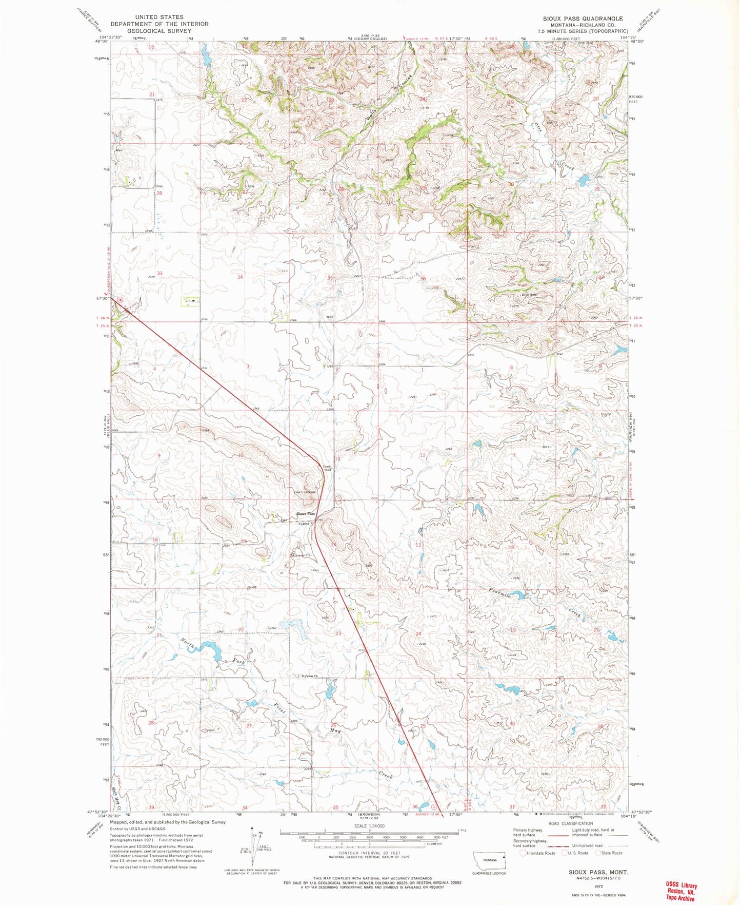
Historical USGS topographic quad map of Sioux Pass in the state of Montana. Map scale may vary for some years, but is generally around 1:24,000. Print size is approximately 24" x 27"
This quadrangle is in the following counties: Richland.
The map contains contour lines, roads, rivers, towns, and lakes. Printed on high-quality waterproof paper with UV fade-resistant inks, and shipped rolled.
Contains the following named places: 25N57E02BDDC01 Well, 25N57E09BBDA01 Well, 25N57E26AAAB01 Well, 25N57E27BBA_01 Well, A Peterson Dam, C Sowle Reservoir Number 2 Dam, Elroy Dam, Leo Dam, Peterson Dam, Saint Peters Cemetery, Saint Peters Church, Sioux Pass, Sioux Pass Post Office, Sioux Pass School