MyTopo
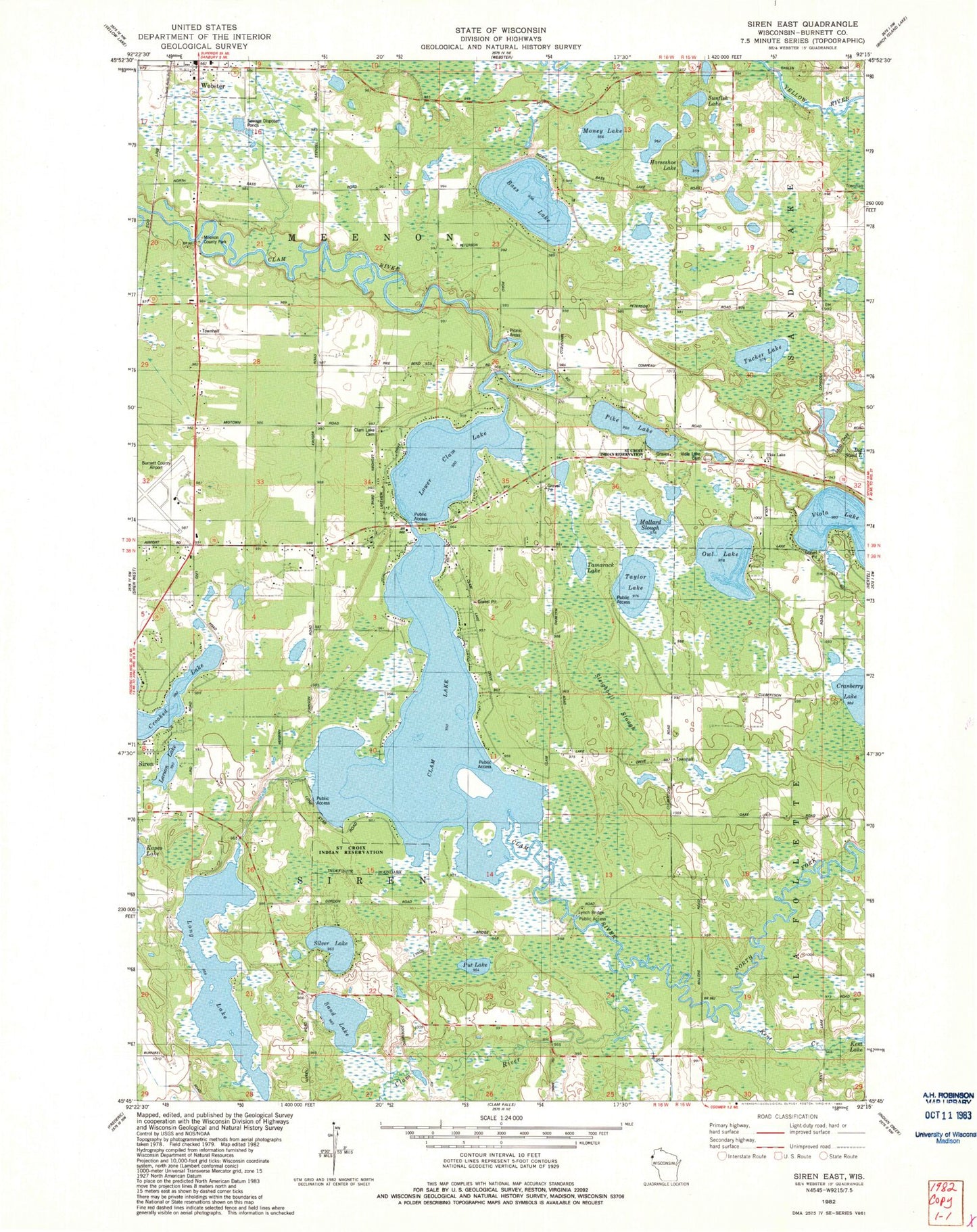
Classic USGS Siren East Wisconsin 7.5'x7.5' Topo Map
Couldn't load pickup availability
Historical USGS topographic quad map of Siren East in the state of Wisconsin. Map scale may vary for some years, but is generally around 1:24,000. Print size is approximately 24" x 27"
This quadrangle is in the following counties: Burnett.
The map contains contour lines, roads, rivers, towns, and lakes. Printed on high-quality waterproof paper with UV fade-resistant inks, and shipped rolled.
Contains the following named places: Bass Lake, Burnett County, Burnett County Airport, Burnett County Jail, Burnett County Sheriff's Office, Clam Lake, Clam Lake 2WP1065 Dam, Clam Lake Cemetery, Cranberry Lake, Dongola School, Horseshoe Lake, Kent Creek, Kruger School, LaFollette Townhall, Larson Lake, Long Lake, Lower Clam Lake, Lyman Bridge Public Access, Mallard Slough, Meenon Townhall, Money Lake, North Fork Clam River, Owl Lake, Pike Lake, Put Lake, Sand Lake, Sand Lake Townhall, Silver Lake, Sleighbell Slough, Sunfish Lake, Tamarack Lake, Taylor Lake, Town of Meenon, Town of Siren, Tucker Lake, Viola Lake, Viola Lake Alliance Church, Viola Lake Cemetery, Webster Elementary School


